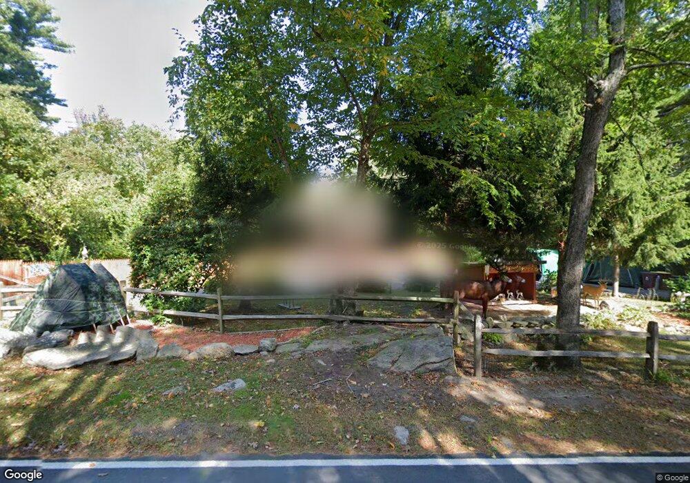
170 Gammons Rd Acushnet, MA 02743
Upper Acushnet NeighborhoodEstimated Value: $522,382 - $620,000
--
Bed
2
Baths
1,200
Sq Ft
$475/Sq Ft
Est. Value
About This Home
This home is located at 170 Gammons Rd, Acushnet, MA 02743 and is currently estimated at $569,596, approximately $474 per square foot. 170 Gammons Rd is a home located in Bristol County with nearby schools including Acushnet Elementary School and Albert F Ford Middle School.
Ownership History
Date
Name
Owned For
Owner Type
Purchase Details
Closed on
Jun 6, 2016
Sold by
Rollins James H and Rollins Laurie J
Bought by
Rollins Nt
Current Estimated Value
Purchase Details
Closed on
Jan 17, 1995
Sold by
Pierce Mary J
Bought by
Rollins James H and Rollins Laurie J
Home Financials for this Owner
Home Financials are based on the most recent Mortgage that was taken out on this home.
Original Mortgage
$148,500
Interest Rate
9.23%
Mortgage Type
Purchase Money Mortgage
Create a Home Valuation Report for This Property
The Home Valuation Report is an in-depth analysis detailing your home's value as well as a comparison with similar homes in the area
Home Values in the Area
Average Home Value in this Area
Purchase History
| Date | Buyer | Sale Price | Title Company |
|---|---|---|---|
| Rollins Nt | -- | -- | |
| Rollins James H | $165,000 | -- |
Source: Public Records
Mortgage History
| Date | Status | Borrower | Loan Amount |
|---|---|---|---|
| Previous Owner | Rollins James H | $70,966 | |
| Previous Owner | Rollins James H | $148,500 | |
| Previous Owner | Rollins James H | $105,000 |
Source: Public Records
Tax History Compared to Growth
Tax History
| Year | Tax Paid | Tax Assessment Tax Assessment Total Assessment is a certain percentage of the fair market value that is determined by local assessors to be the total taxable value of land and additions on the property. | Land | Improvement |
|---|---|---|---|---|
| 2025 | $45 | $417,600 | $153,000 | $264,600 |
| 2024 | $4,355 | $381,700 | $146,400 | $235,300 |
| 2023 | $4,369 | $364,100 | $133,000 | $231,100 |
| 2022 | $4,370 | $329,300 | $127,000 | $202,300 |
| 2021 | $2,718 | $295,700 | $127,000 | $168,700 |
| 2020 | $4,418 | $295,700 | $127,000 | $168,700 |
| 2019 | $4,047 | $285,400 | $127,000 | $158,400 |
| 2018 | $4,039 | $273,700 | $127,000 | $146,700 |
| 2017 | $3,828 | $265,100 | $127,000 | $138,100 |
| 2016 | $3,888 | $267,600 | $127,000 | $140,600 |
| 2015 | $3,609 | $252,700 | $127,000 | $125,700 |
Source: Public Records
Map
Nearby Homes
- 293 Mendall Rd
- 57 Perry Hill Rd
- 225 Mattapoisett Rd
- 661 Main St
- 0 Long Plain Rd
- 224 North St
- 7 Laura Ln
- 8 Abby Ln
- 16 Brookside Dr
- 363 Main St
- 312 New Boston Rd
- 37 Wing Ln
- 0 Confidential Way Unit 73340085
- 33 Harbeck St
- 63 Wing Rd
- 0 Rounseville Rd
- 16 Blain St
- 1 Rounseville Rd
- 649 Middle Rd
- 52 Garfield St
- 171 Gammons Rd
- 165 Gammons Rd
- 168 Gammons Rd
- 77 Long Plain Rd
- 163 Gammons Rd
- 160 Gammons Rd
- 2 New Bedford Rd
- 159 Gammons Rd
- 84 Long Plain Rd
- 130 Gammons Rd
- 157 Gammons Rd
- 126 Gammons Rd
- 131 Gammons Rd
- 153 Gammons Rd
- 67 Long Plain Rd
- 122 Gammons Rd
- 65 Long Plain Rd
- 125 Gammons Rd
- 121 Gammons Rd
- 72 Long Plain Rd