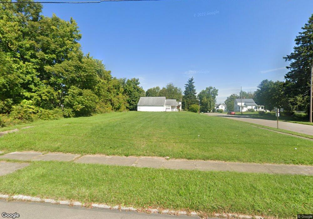
170 Harker St Mansfield, OH 44903
Estimated Value: $81,000 - $255,000
5
Beds
1
Bath
1,248
Sq Ft
$113/Sq Ft
Est. Value
About This Home
This home is located at 170 Harker St, Mansfield, OH 44903 and is currently estimated at $140,667, approximately $112 per square foot. 170 Harker St is a home located in Richland County with nearby schools including Goal Digital Academy, St. Peter's Elementary/Montessori School, and St. Peter's High School/Junior High.
Ownership History
Date
Name
Owned For
Owner Type
Purchase Details
Closed on
Aug 9, 2021
Sold by
Richland County Land Reutilization Corp
Bought by
Oasis Of Love Churchs
Current Estimated Value
Purchase Details
Closed on
Dec 13, 2018
Sold by
County Of Richland
Bought by
Richland County Land Reutilization Corp
Purchase Details
Closed on
Oct 1, 1986
Create a Home Valuation Report for This Property
The Home Valuation Report is an in-depth analysis detailing your home's value as well as a comparison with similar homes in the area
Home Values in the Area
Average Home Value in this Area
Purchase History
| Date | Buyer | Sale Price | Title Company |
|---|---|---|---|
| Oasis Of Love Churchs | -- | None Available | |
| Richland County Land Reutilization Corp | -- | None Available | |
| -- | $500 | -- |
Source: Public Records
Tax History Compared to Growth
Tax History
| Year | Tax Paid | Tax Assessment Tax Assessment Total Assessment is a certain percentage of the fair market value that is determined by local assessors to be the total taxable value of land and additions on the property. | Land | Improvement |
|---|---|---|---|---|
| 2024 | $65 | $1,360 | $1,360 | $0 |
| 2023 | $65 | $1,360 | $1,360 | $0 |
| 2022 | $71 | $1,240 | $1,240 | $0 |
| 2021 | $71 | $1,240 | $1,240 | $0 |
| 2020 | $456 | $7,750 | $1,540 | $6,210 |
| 2019 | $505 | $7,750 | $1,540 | $6,210 |
| 2018 | $487 | $7,750 | $1,540 | $6,210 |
| 2017 | $706 | $7,750 | $1,540 | $6,210 |
| 2016 | $732 | $8,330 | $2,440 | $5,890 |
| 2015 | $732 | $8,330 | $2,440 | $5,890 |
| 2014 | $496 | $8,330 | $2,440 | $5,890 |
| 2012 | $398 | $8,770 | $2,570 | $6,200 |
Source: Public Records
Map
Nearby Homes
- 526 Bowman St
- 156 Buckingham Ave Unit 158
- 283 Bulkley Ave
- 452 Daisy St
- 371 Bell St
- 0 Voegele Ave Unit Lot 6048, 6049, 6
- 426 Mcpherson St
- 743 Bowman St
- 362-364 W 6th St
- 512 Burns St
- 282 W 5th St
- 169 W 5th St
- 0 Highway 30
- 219 W 5th St
- 346 Newman St
- 458 Wayne St
- 237 Helen Ave
- 406 Sherman Place
- 0 State Route 314 Unit 9067316
- 0 State Route 314 Unit 225021979