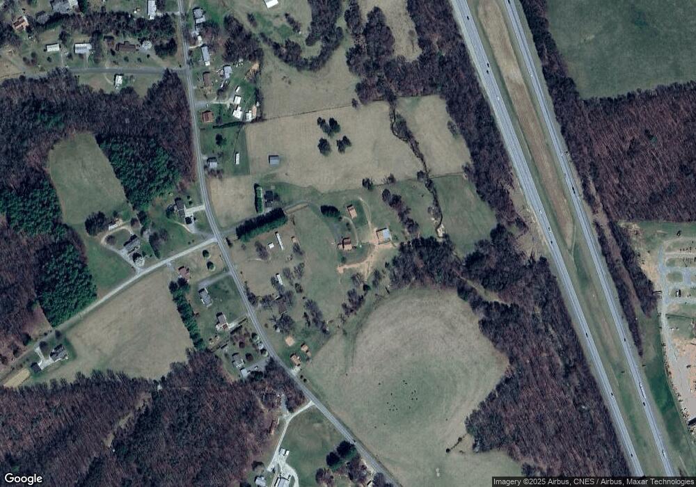
170 High Noon Trail Mount Airy, NC 27030
Estimated Value: $204,000 - $337,000
3
Beds
2
Baths
1,600
Sq Ft
$172/Sq Ft
Est. Value
About This Home
This home is located at 170 High Noon Trail, Mount Airy, NC 27030 and is currently estimated at $275,909, approximately $172 per square foot. 170 High Noon Trail is a home with nearby schools including Cedar Ridge Elementary School, J. Sam Gentry Middle School, and North Surry High School.
Ownership History
Date
Name
Owned For
Owner Type
Purchase Details
Closed on
Dec 1, 1992
Current Estimated Value
Purchase Details
Closed on
Sep 1, 1988
Purchase Details
Closed on
Aug 1, 1988
Purchase Details
Closed on
Jan 1, 1987
Create a Home Valuation Report for This Property
The Home Valuation Report is an in-depth analysis detailing your home's value as well as a comparison with similar homes in the area
Home Values in the Area
Average Home Value in this Area
Purchase History
| Date | Buyer | Sale Price | Title Company |
|---|---|---|---|
| -- | -- | -- | |
| -- | -- | -- | |
| -- | -- | -- | |
| -- | $10,000 | -- |
Source: Public Records
Tax History Compared to Growth
Tax History
| Year | Tax Paid | Tax Assessment Tax Assessment Total Assessment is a certain percentage of the fair market value that is determined by local assessors to be the total taxable value of land and additions on the property. | Land | Improvement |
|---|---|---|---|---|
| 2025 | $1,241 | $202,770 | $45,390 | $157,380 |
| 2024 | $1,047 | $157,220 | $38,000 | $119,220 |
| 2023 | $1,006 | $157,220 | $38,000 | $119,220 |
| 2022 | $1,006 | $157,220 | $38,000 | $119,220 |
| 2021 | $1,023 | $157,220 | $38,000 | $119,220 |
| 2020 | $1,037 | $152,160 | $35,890 | $116,270 |
| 2019 | $1,034 | $152,160 | $0 | $0 |
| 2018 | $1,016 | $152,160 | $0 | $0 |
| 2017 | $1,031 | $152,160 | $0 | $0 |
| 2016 | $1,031 | $152,160 | $0 | $0 |
| 2013 | -- | $150,300 | $0 | $0 |
Source: Public Records
Map
Nearby Homes
- 180 Cedar Lake Trail
- 212 Flagstone Way
- 4285 W Pine St Unit STW
- TBD Ivy Green Trail
- 204 Violet Ridge Trail
- 000 Sparger Rd
- 482 Maple Hollow Rd
- 298 Wandering Walk Rd
- 154 Lois Ln
- 2140 Pipers Gap Rd
- TBD Fisher Peak Trail
- 215 Oak Ridge Place
- 111 Rose Trail
- 0 Oak Ridge Ct Unit .50 Ac 1105341
- 140 Nevada Ave
- 00 Pipers Gap Rd Unit Lot 17 plus 4 acres
- 229 Cabin Trail
- 193 Brandy Wine Trail
- 0 Oak Ridge Dr
- 214 York Thicket Rd
- 119 Cassell Hill Trail
- 2286 Pine Ridge Rd
- 116 Cassell Hill Trail
- 2276 Pine Ridge Rd
- 2297 Pine Ridge Rd
- 2281 Pine Ridge Rd
- 2346 Pine Ridge Rd
- 2265 Pine Ridge Rd
- 2333 Pine Ridge Rd
- 106 Coral Ln
- 2380 Pine Ridge Rd
- 134 Breezyridge Way
- 2392 Pine Ridge Rd
- 142 Starting Line Ln
- 2408 Pine Ridge Rd
- 131 Lowe Rd
- 126 Lowe Rd
- 2424 Pine Ridge Rd
- 2415 Pine Ridge Rd
- 111 Fisher Dr
