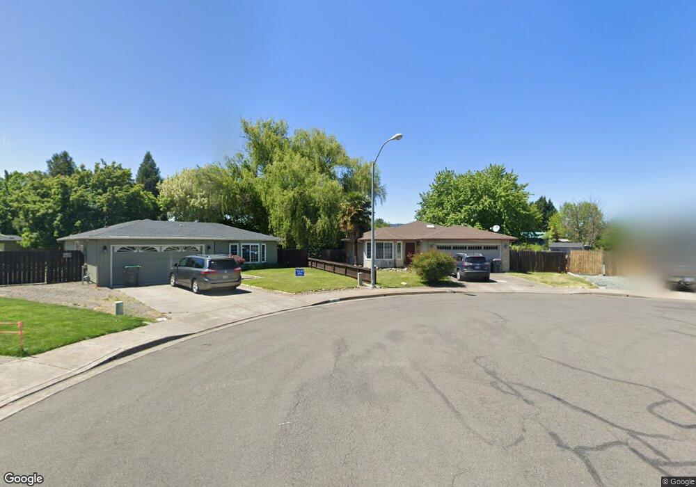
170 Keystone Ct Central Point, OR 97502
Estimated Value: $378,000 - $402,000
3
Beds
2
Baths
1,405
Sq Ft
$277/Sq Ft
Est. Value
About This Home
This home is located at 170 Keystone Ct, Central Point, OR 97502 and is currently estimated at $389,446, approximately $277 per square foot. 170 Keystone Ct is a home located in Jackson County with nearby schools including Howard Elementary School, McLoughlin Middle School, and North Medford High School.
Ownership History
Date
Name
Owned For
Owner Type
Purchase Details
Closed on
Aug 22, 2008
Sold by
Cronberg Richard N and Cronberg Karen L
Bought by
Brice Gregory Scott and Brice Kathy D
Current Estimated Value
Home Financials for this Owner
Home Financials are based on the most recent Mortgage that was taken out on this home.
Original Mortgage
$188,000
Outstanding Balance
$121,466
Interest Rate
6.27%
Mortgage Type
Purchase Money Mortgage
Estimated Equity
$267,980
Purchase Details
Closed on
Oct 6, 1997
Sold by
Richard Cronberg and Richard Karen
Bought by
Cronberg Richard N and Cronberg Karen L
Home Financials for this Owner
Home Financials are based on the most recent Mortgage that was taken out on this home.
Original Mortgage
$103,500
Interest Rate
7.54%
Create a Home Valuation Report for This Property
The Home Valuation Report is an in-depth analysis detailing your home's value as well as a comparison with similar homes in the area
Purchase History
| Date | Buyer | Sale Price | Title Company |
|---|---|---|---|
| Brice Gregory Scott | $225,000 | Lawyers Title Ins | |
| Cronberg Richard N | -- | Jackson County Title |
Source: Public Records
Mortgage History
| Date | Status | Borrower | Loan Amount |
|---|---|---|---|
| Open | Brice Gregory Scott | $188,000 | |
| Previous Owner | Cronberg Richard N | $103,500 |
Source: Public Records
Tax History
| Year | Tax Paid | Tax Assessment Tax Assessment Total Assessment is a certain percentage of the fair market value that is determined by local assessors to be the total taxable value of land and additions on the property. | Land | Improvement |
|---|---|---|---|---|
| 2026 | $3,579 | $215,460 | -- | -- |
| 2025 | $3,500 | $209,190 | $92,750 | $116,440 |
| 2024 | $3,500 | $203,100 | $90,050 | $113,050 |
| 2023 | $3,393 | $197,190 | $87,430 | $109,760 |
| 2022 | $3,308 | $197,190 | $87,430 | $109,760 |
| 2021 | $3,222 | $191,450 | $84,890 | $106,560 |
| 2020 | $3,141 | $185,880 | $82,420 | $103,460 |
| 2019 | $3,064 | $175,220 | $77,690 | $97,530 |
| 2018 | $2,983 | $170,120 | $75,430 | $94,690 |
| 2017 | $2,925 | $170,120 | $75,430 | $94,690 |
| 2016 | $2,862 | $160,360 | $71,100 | $89,260 |
| 2015 | $2,751 | $160,360 | $71,100 | $89,260 |
| 2014 | $2,592 | $151,160 | $67,010 | $84,150 |
Source: Public Records
Map
Nearby Homes
- 105 Queens Gate Ct
- 1283 Far West Ave Unit 3
- 402 Emerald Cir
- 1258 Joshua Ct
- 2841 Howard Ave
- 412 Morningside St
- 959 Westrop Dr
- 2825 Howard Ave
- 2817 Howard Ave
- 2971 Table Rock Rd
- 2772 Merriman Rd
- 2744 Merriman Rd
- 659 Herman Ave
- 199 Mellecker Way
- 1025 Fairfield Ave
- 171 Mellecker Way
- 3277 Cottonwood Ave
- 439 Midway Rd
- 921 Pittview Ave
- 567 Black Bear Dr
- 162 Keystone Ct
- 145 Silverwood Ct
- 154 Silverwood Ct
- 180 Southgate Ct
- 191 Southgate Ct
- 159 Keystone Ct
- 127 Silverwood Ct
- 136 Silverwood Ct
- 146 Keystone Ct
- 147 Keystone Ct
- 168 Southgate Ct
- 231 Arnwood St
- 173 Southgate Ct
- 123 Arnwood St
- 215 Arnwood St
- 139 Keystone Ct
- 243 Arnwood St Unit 1
- 138 Keystone Ct
- 1404 Green Park Dr
- 1322 Green Park Dr
Your Personal Tour Guide
Ask me questions while you tour the home.