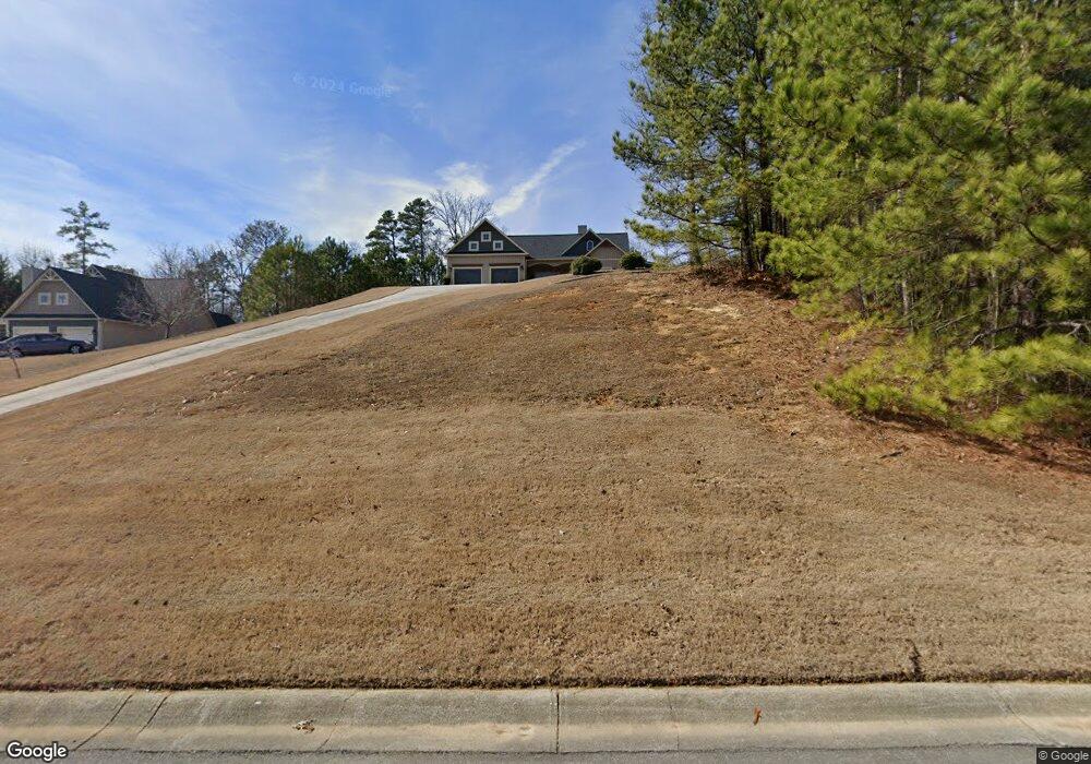
170 Levi St SW Calhoun, GA 30701
Estimated Value: $279,000 - $307,000
3
Beds
2
Baths
1,530
Sq Ft
$193/Sq Ft
Est. Value
About This Home
This home is located at 170 Levi St SW, Calhoun, GA 30701 and is currently estimated at $294,980, approximately $192 per square foot. 170 Levi St SW is a home located in Gordon County with nearby schools including Swain Elementary School, Ashworth Middle School, and Gordon Central High School.
Ownership History
Date
Name
Owned For
Owner Type
Purchase Details
Closed on
Apr 30, 2008
Sold by
Dcc Construction Inc
Bought by
Brown Renee
Current Estimated Value
Home Financials for this Owner
Home Financials are based on the most recent Mortgage that was taken out on this home.
Original Mortgage
$118,800
Outstanding Balance
$75,157
Interest Rate
5.86%
Mortgage Type
New Conventional
Estimated Equity
$219,823
Purchase Details
Closed on
Jun 25, 2007
Sold by
G Smith Builders Inc
Bought by
Dcc Construction Inc
Create a Home Valuation Report for This Property
The Home Valuation Report is an in-depth analysis detailing your home's value as well as a comparison with similar homes in the area
Home Values in the Area
Average Home Value in this Area
Purchase History
| Date | Buyer | Sale Price | Title Company |
|---|---|---|---|
| Brown Renee | $161,050 | -- | |
| Dcc Construction Inc | $32,250 | -- |
Source: Public Records
Mortgage History
| Date | Status | Borrower | Loan Amount |
|---|---|---|---|
| Open | Brown Renee | $118,800 |
Source: Public Records
Tax History Compared to Growth
Tax History
| Year | Tax Paid | Tax Assessment Tax Assessment Total Assessment is a certain percentage of the fair market value that is determined by local assessors to be the total taxable value of land and additions on the property. | Land | Improvement |
|---|---|---|---|---|
| 2024 | $2,354 | $94,640 | $7,600 | $87,040 |
| 2023 | $2,198 | $88,520 | $7,600 | $80,920 |
| 2022 | $2,180 | $82,680 | $7,600 | $75,080 |
| 2021 | $1,853 | $68,160 | $7,600 | $60,560 |
| 2020 | $1,914 | $68,800 | $7,600 | $61,200 |
| 2019 | $1,924 | $68,800 | $7,600 | $61,200 |
| 2018 | $1,774 | $63,600 | $7,600 | $56,000 |
| 2017 | $1,730 | $60,360 | $7,600 | $52,760 |
| 2016 | $1,465 | $60,360 | $7,600 | $52,760 |
| 2015 | $1,542 | $53,440 | $6,840 | $46,600 |
| 2014 | $1,455 | $51,948 | $8,064 | $43,884 |
Source: Public Records
Map
Nearby Homes
- The Braselton II Plan at Fair Oak
- The Reynolds Plan at Fair Oak
- The Buford II Plan at Fair Oak
- The Lawson Plan at Fair Oak
- The Caldwell Plan at Fair Oak
- The Benson II Plan at Fair Oak
- The Greenbrier II Plan at Fair Oak
- 210 Madison Dr SW
- 176 Village Way SW
- 413 Beamer Rd SW
- 130 Brookstone Dr SW
- 137 Regency Row SW
- 215 Wilson St
- 515 Hunt Bend Rd NW
- 227 Mcconnell Rd
- 100 Neal St
- 153 Riverview Dr
- 404 Mcginnis Cir
- 2108 Roland Hayes Pkwy SW
- 121 Foxhall Dr SW
- 180 Levi St SW
- 160 Levi St SW
- 148 Levi St SW
- 179 Levi St SW
- 165 Levi St SW
- 205 Luke St SW
- 134 Levi St SW
- 0 Levi St SW Unit 8382845
- 0 Levi St SW Unit 9009895
- 0 Levi St SW Unit 9056736
- 0 Levi St SW Unit 8840336
- 0 Levi St SW Unit 7098530
- 0 Levi St SW Unit 7167781
- 0 Levi St SW Unit 7541332
- 204 Levi St SW
- 153 Levi St SW
- 191 Levi St SW
- 139 Levi St SW
- 0 Luke Unit 4283680
- 208 Levi St SW