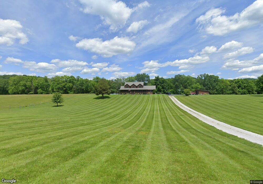
170 Linus Fore Rd Irvine, KY 40336
Estimated Value: $234,000 - $366,000
--
Bed
--
Bath
3,208
Sq Ft
$99/Sq Ft
Est. Value
About This Home
This home is located at 170 Linus Fore Rd, Irvine, KY 40336 and is currently estimated at $316,975, approximately $98 per square foot. 170 Linus Fore Rd is a home located in Estill County with nearby schools including Estill Springs Elementary School, West Irvine Intermediate School, and Estill County Middle School.
Ownership History
Date
Name
Owned For
Owner Type
Purchase Details
Closed on
Jun 17, 2008
Sold by
Barnett Janet L and Barnett Delmer
Bought by
Barnett Britni B and Farris Seth C
Current Estimated Value
Home Financials for this Owner
Home Financials are based on the most recent Mortgage that was taken out on this home.
Original Mortgage
$182,641
Interest Rate
5.96%
Create a Home Valuation Report for This Property
The Home Valuation Report is an in-depth analysis detailing your home's value as well as a comparison with similar homes in the area
Home Values in the Area
Average Home Value in this Area
Purchase History
| Date | Buyer | Sale Price | Title Company |
|---|---|---|---|
| Barnett Britni B | -- | -- |
Source: Public Records
Mortgage History
| Date | Status | Borrower | Loan Amount |
|---|---|---|---|
| Closed | Barnett Britni B | $182,641 |
Source: Public Records
Tax History Compared to Growth
Tax History
| Year | Tax Paid | Tax Assessment Tax Assessment Total Assessment is a certain percentage of the fair market value that is determined by local assessors to be the total taxable value of land and additions on the property. | Land | Improvement |
|---|---|---|---|---|
| 2024 | $2,521 | $238,500 | $238,500 | $0 |
| 2023 | $2,562 | $238,500 | $238,500 | $0 |
| 2022 | $2,573 | $238,500 | $238,500 | $0 |
| 2021 | $2,645 | $238,500 | $238,500 | $0 |
| 2020 | $2,659 | $238,500 | $238,500 | $0 |
| 2019 | $2,669 | $238,500 | $238,500 | $0 |
| 2018 | $2,671 | $238,500 | $238,500 | $0 |
| 2017 | $2,509 | $238,500 | $238,500 | $0 |
| 2016 | $2,509 | $238,500 | $238,500 | $0 |
| 2015 | -- | $238,500 | $238,500 | $0 |
| 2014 | -- | $238,500 | $238,500 | $0 |
| 2013 | -- | $238,500 | $238,500 | $0 |
| 2010 | -- | $238,500 | $0 | $0 |
Source: Public Records
Map
Nearby Homes
- 534 Lilly Ferry Rd
- 2498 Spout Springs Rd
- 1040 Hargett Rd
- 1205 Burton Williams Rd
- 1431 Burton Williams Rd
- 300 Stone Rd
- 670 Lillies Ferry Rd
- 810 Happy Top Rd
- 0 Dry Branch Rd Unit 11566826
- 135 Eddie Ridge Rd
- 338 Happy Top Rd
- 1310 Irvine Rd
- 1296 Irvine Rd
- 1600 Sand Hill Rd
- 2413 Log Lick Rd
- 590 Webb Rd
- 15 Rose Ln
- 9999 Sunrise Valley Tract 3 Rd
- 210 Dry Branch Rd
- lot 11 0 Lone Oak Rd
- 102 Linus Fore Rd
- 1323 Spout Springs Rd
- 961 Spout Springs Rd
- 1505 Spout Springs Rd
- 100 Pinegap Ln
- 90 Cooper Dr
- 984 Spout Springs Rd
- 980 Spout Springs Rd
- 645 Linus Fore Rd
- 1603 Spout Springs Rd
- 963 Spout Springs Rd
- 40 Ek Power
- 150 Cooper Dr
- 60 Trammell Ln
- 149 Trammell Ln
- 149 Trammell Ln
- 2 Trammell Loop
- 186 Trammell Ln
- 23 Trammell Loop
- 22 Trammell Loop