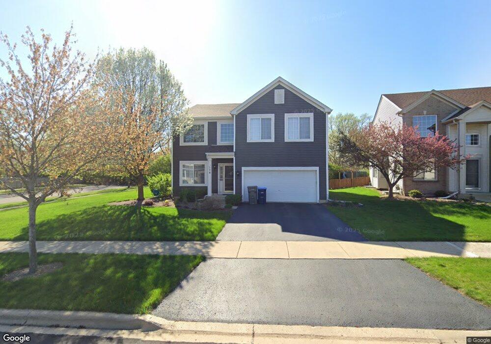
170 Manning Ave Montgomery, IL 60538
Estimated Value: $408,000 - $468,000
4
Beds
4
Baths
2,748
Sq Ft
$159/Sq Ft
Est. Value
About This Home
This home is located at 170 Manning Ave, Montgomery, IL 60538 and is currently estimated at $435,973, approximately $158 per square foot. 170 Manning Ave is a home located in Kane County with nearby schools including Nicholson Elementary School, Washington Middle School, and West Aurora High School.
Ownership History
Date
Name
Owned For
Owner Type
Purchase Details
Closed on
Dec 30, 2005
Sold by
Fieldstone Place Llc
Bought by
Cruz Roderick T and Cruz Monette C
Current Estimated Value
Home Financials for this Owner
Home Financials are based on the most recent Mortgage that was taken out on this home.
Original Mortgage
$266,724
Outstanding Balance
$151,070
Interest Rate
6.4%
Mortgage Type
FHA
Estimated Equity
$284,903
Create a Home Valuation Report for This Property
The Home Valuation Report is an in-depth analysis detailing your home's value as well as a comparison with similar homes in the area
Home Values in the Area
Average Home Value in this Area
Purchase History
| Date | Buyer | Sale Price | Title Company |
|---|---|---|---|
| Cruz Roderick T | $281,500 | Ticor Title Insurance Co |
Source: Public Records
Mortgage History
| Date | Status | Borrower | Loan Amount |
|---|---|---|---|
| Open | Cruz Roderick T | $266,724 |
Source: Public Records
Tax History
| Year | Tax Paid | Tax Assessment Tax Assessment Total Assessment is a certain percentage of the fair market value that is determined by local assessors to be the total taxable value of land and additions on the property. | Land | Improvement |
|---|---|---|---|---|
| 2024 | $8,377 | $123,967 | $21,211 | $102,756 |
| 2023 | $8,030 | $110,764 | $18,952 | $91,812 |
| 2022 | $7,686 | $101,062 | $17,292 | $83,770 |
| 2021 | $7,337 | $94,090 | $16,099 | $77,991 |
| 2020 | $7,429 | $93,141 | $14,954 | $78,187 |
| 2019 | $7,522 | $89,724 | $13,855 | $75,869 |
| 2018 | $7,671 | $88,980 | $12,816 | $76,164 |
| 2017 | $7,639 | $85,756 | $11,809 | $73,947 |
| 2016 | $6,961 | $75,937 | $10,123 | $65,814 |
| 2015 | -- | $70,286 | $8,705 | $61,581 |
| 2014 | -- | $67,599 | $8,372 | $59,227 |
| 2013 | -- | $66,817 | $8,253 | $58,564 |
Source: Public Records
Map
Nearby Homes
- 186 Manning Ave
- 1417 Manning Ave
- 75 Winter Hill Cir
- 310 Fairwind Ct
- 4 Ingleshire Rd
- 215 Fernwood Rd
- 27 Winrock Rd
- 16 Spring Garden Dr
- 307 Huntington Ct
- 209 Huntington Ct
- 40 Chatham Place
- 34 Sonora Dr
- Lot 1 Douglas Ave
- 122 Longbeach Rd
- 521 S Railroad St
- 20 Durango Rd
- 86 Circle Dr E
- 404 Kent Ct
- 28 Seneca Dr
- 1341 Hinckley St
- 172 Manning Ave
- 174 Manning Ave
- 167 Holmes Place
- 173 Manning Ave
- 166 Holmes Place
- 175 Manning Ave
- 171 Manning Ave
- 169 Holmes Place
- 181 Montgomery Rd
- 168 Holmes Place
- 176 Manning Ave
- 178 Manning Ave
- 171 Montgomery Rd
- 181 Manning Ave
- 171 Holmes Place
- 180 Manning Ave
- 161 Montgomery Rd
- 173 Holmes Place
- 182 Manning Ave
- 180 Holmes Place
Your Personal Tour Guide
Ask me questions while you tour the home.