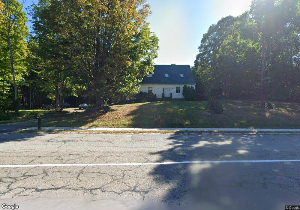
170 N Main St West Boylston, MA 01583
Estimated Value: $636,902 - $689,000
4
Beds
2
Baths
2,087
Sq Ft
$321/Sq Ft
Est. Value
About This Home
This home is located at 170 N Main St, West Boylston, MA 01583 and is currently estimated at $670,476, approximately $321 per square foot. 170 N Main St is a home located in Worcester County with nearby schools including Major Edwards Elementary School and West Boylston Junior/Senior High School.
Ownership History
Date
Name
Owned For
Owner Type
Purchase Details
Closed on
Mar 19, 2010
Sold by
Parker Gary L and Parker Debra N
Bought by
Parker Debra N
Current Estimated Value
Home Financials for this Owner
Home Financials are based on the most recent Mortgage that was taken out on this home.
Original Mortgage
$165,000
Outstanding Balance
$109,740
Interest Rate
5.05%
Mortgage Type
Purchase Money Mortgage
Estimated Equity
$560,736
Create a Home Valuation Report for This Property
The Home Valuation Report is an in-depth analysis detailing your home's value as well as a comparison with similar homes in the area
Home Values in the Area
Average Home Value in this Area
Purchase History
| Date | Buyer | Sale Price | Title Company |
|---|---|---|---|
| Parker Debra N | -- | -- |
Source: Public Records
Mortgage History
| Date | Status | Borrower | Loan Amount |
|---|---|---|---|
| Open | Parker Debra N | $165,000 |
Source: Public Records
Tax History Compared to Growth
Tax History
| Year | Tax Paid | Tax Assessment Tax Assessment Total Assessment is a certain percentage of the fair market value that is determined by local assessors to be the total taxable value of land and additions on the property. | Land | Improvement |
|---|---|---|---|---|
| 2025 | $81 | $580,900 | $141,000 | $439,900 |
| 2024 | $7,709 | $521,600 | $143,200 | $378,400 |
| 2023 | $7,721 | $495,600 | $141,000 | $354,600 |
| 2022 | $7,086 | $400,800 | $141,000 | $259,800 |
| 2021 | $6,773 | $366,900 | $118,300 | $248,600 |
| 2020 | $6,659 | $358,400 | $118,300 | $240,100 |
| 2019 | $6,396 | $339,300 | $118,300 | $221,000 |
| 2018 | $6,488 | $331,600 | $118,300 | $213,300 |
| 2017 | $5,875 | $312,500 | $118,300 | $194,200 |
| 2016 | $5,603 | $303,700 | $110,900 | $192,800 |
| 2015 | $5,342 | $291,300 | $110,100 | $181,200 |
Source: Public Records
Map
Nearby Homes
- 16 N Main St
- 287 Laurel St
- 0 Boutelle Rd
- 61 Boutelle Rd
- 20 Winthrop St
- 26 Townsend Dr
- 223 Worcester Rd
- 136 Sterling St Unit A3
- 2 Lakeview Ave
- 18 Laurel Ave
- 21 Myrtle Ave
- 0 North St
- 4 Jewett Rd Unit B
- 4 Jewett Rd Unit A
- Lot 1 Manning St
- 156 Prospect St
- 9 Michael Ln
- 15 N Cove Rd
- 19 James Rd
- 152 Worcester St Unit 8
- 48 Stillwater Heights Dr
- 154 N Main St
- 3 Redemption Rock Trail
- 157 N Main St
- 165 N Main St
- 0 Redemption Rock Trail
- 46 Stillwater Heights Dr
- 151 N Main St
- 5 Redemption Rock Trail
- 43 Stillwater Heights Dr
- 3 Stillwater Heights Dr
- 5 Stillwater Heights Dr
- 146 Hosmer St
- 7 Stillwater Heights Dr
- 163 Hosmer St
- 40 Stillwater Heights Dr
- 143 N Main St
- 144 Hosmer St
- 4 Stillwater Heights Dr
- 6 Stillwater Heights Dr