170 Nash Trail Bryson City, NC 28713
Estimated Value: $371,000 - $518,000
2
Beds
2
Baths
2,481
Sq Ft
$176/Sq Ft
Est. Value
About This Home
This home is located at 170 Nash Trail, Bryson City, NC 28713 and is currently estimated at $435,987, approximately $175 per square foot. 170 Nash Trail is a home located in Swain County with nearby schools including Swain County Middle School, Swain County West Elementary School, and Swain County High School.
Ownership History
Date
Name
Owned For
Owner Type
Purchase Details
Closed on
May 12, 2021
Sold by
Florea David J
Bought by
Mazur John Michael
Current Estimated Value
Home Financials for this Owner
Home Financials are based on the most recent Mortgage that was taken out on this home.
Original Mortgage
$350,000
Outstanding Balance
$317,187
Interest Rate
3.1%
Mortgage Type
VA
Estimated Equity
$118,800
Purchase Details
Closed on
Jun 21, 2010
Sold by
Florea Patsy Lee
Bought by
Florea David J
Purchase Details
Closed on
Sep 25, 2006
Sold by
Bowden Woodson N and Bowden Carlene F
Bought by
Florea David J and Florea Patsy Lee
Create a Home Valuation Report for This Property
The Home Valuation Report is an in-depth analysis detailing your home's value as well as a comparison with similar homes in the area
Home Values in the Area
Average Home Value in this Area
Purchase History
| Date | Buyer | Sale Price | Title Company |
|---|---|---|---|
| Mazur John Michael | -- | None Available | |
| Florea David J | -- | -- | |
| Florea David J | $238,000 | -- |
Source: Public Records
Mortgage History
| Date | Status | Borrower | Loan Amount |
|---|---|---|---|
| Open | Mazur John Michael | $350,000 |
Source: Public Records
Tax History Compared to Growth
Tax History
| Year | Tax Paid | Tax Assessment Tax Assessment Total Assessment is a certain percentage of the fair market value that is determined by local assessors to be the total taxable value of land and additions on the property. | Land | Improvement |
|---|---|---|---|---|
| 2025 | $996 | $214,780 | $51,060 | $163,720 |
| 2024 | $996 | $214,780 | $51,060 | $163,720 |
| 2023 | $888 | $214,780 | $51,060 | $163,720 |
| 2022 | $888 | $214,780 | $51,060 | $163,720 |
| 2021 | $888 | $214,780 | $0 | $0 |
| 2020 | $560 | $134,840 | $36,190 | $98,650 |
| 2019 | $560 | $134,840 | $36,190 | $98,650 |
| 2018 | $560 | $134,840 | $36,190 | $98,650 |
| 2017 | $560 | $134,840 | $36,190 | $98,650 |
| 2016 | $560 | $134,840 | $36,190 | $98,650 |
| 2015 | -- | $134,840 | $36,190 | $98,650 |
| 2014 | -- | $134,840 | $36,190 | $98,650 |
Source: Public Records
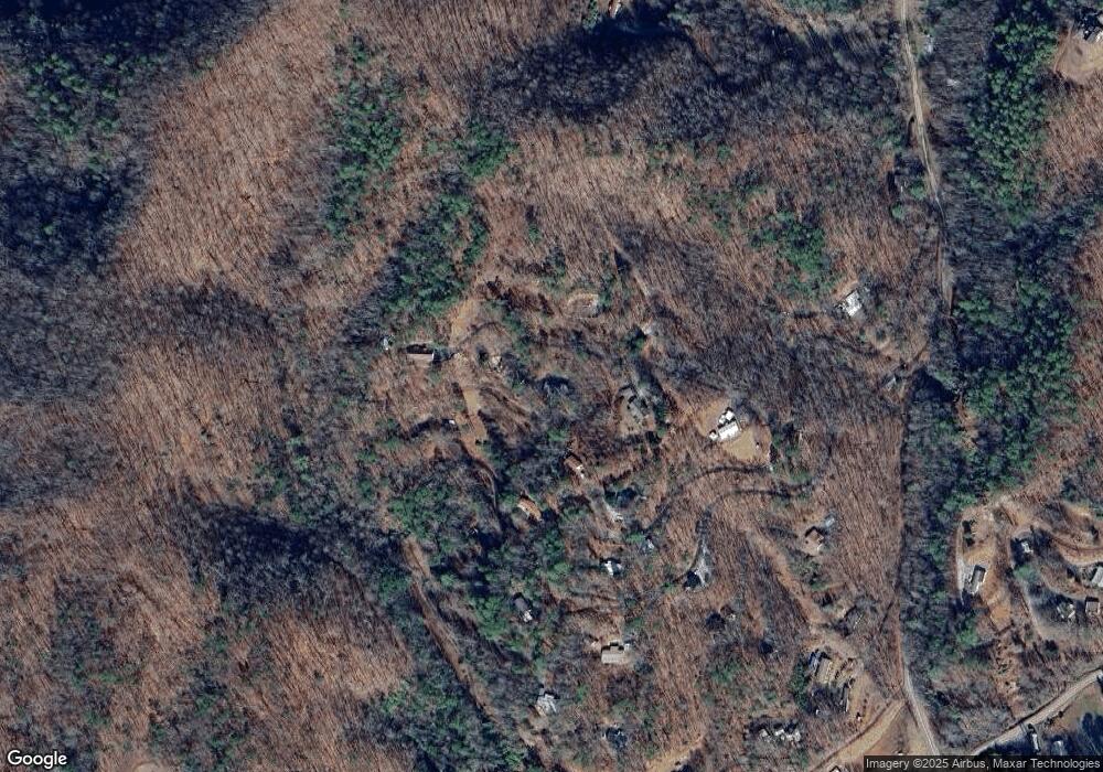
Map
Nearby Homes
- 77 Nash Trail
- Lot 8 Blackberry Hill
- 116 R P Stephenson Dr
- 84 Pelohi Cove Rd
- 6541 Grassy Branch Rd
- 0 Greasy Branch Rd
- 0 Rusty's Ridge Rd
- Lot 22 Rusty's Ridge Rd
- 10 Ridge Place
- Lot 22 Rustys Ridge
- 0 Rustys Ridge
- 860 Butternut Ridge
- 0 Black Forest Dr Unit 26036845
- 0 Black Forest Dr Unit 26037019
- 139 Forest Hills Rd
- Lot 6 Butternut Ridge
- Lot 5 Butternut Ridge
- Lot 4 Butternut Ridge
- Lot 9 Butternut Ridge
- Lot 7 Butternut Ridge
- 160 Brendle Blvd
- 290 Brendle Blvd
- 175 Brendle Blvd
- 615 Oliver Dr S
- 565 Oliver Dr S
- 100 Nash Trail
- 0 Nash Trail
- 654 Oliver Dr N
- 714 Oliver Dr S
- 34 Brendle Blvd
- 676 Oliver Dr N
- 676 Oliver Dr S
- 145 Blackberry Hill
- 101 Miners Way
- 140 Oliver Dr N
- 404 Oliver Dr S
- 129 Blackberry Hill
- 86 Blackberry Hill
- 59 Blackberry Hill
- 377 Mineral Springs Rd