170 Oakley Farm Ln Warm Springs, VA 24484
Estimated Value: $573,000 - $1,392,791
6
Beds
4
Baths
4,864
Sq Ft
$200/Sq Ft
Est. Value
About This Home
This home is located at 170 Oakley Farm Ln, Warm Springs, VA 24484 and is currently estimated at $972,698, approximately $199 per square foot. 170 Oakley Farm Ln is a home located in Bath County with nearby schools including Bath County High School.
Ownership History
Date
Name
Owned For
Owner Type
Purchase Details
Closed on
Jul 31, 2018
Sold by
Vonvonschilling Franz Von and Schilling Jean D Von
Bought by
Hodges William H and Hodges Cornelia Granbery
Current Estimated Value
Home Financials for this Owner
Home Financials are based on the most recent Mortgage that was taken out on this home.
Original Mortgage
$1,500,000
Outstanding Balance
$1,302,689
Interest Rate
4.5%
Mortgage Type
Unknown
Estimated Equity
-$329,991
Create a Home Valuation Report for This Property
The Home Valuation Report is an in-depth analysis detailing your home's value as well as a comparison with similar homes in the area
Home Values in the Area
Average Home Value in this Area
Purchase History
| Date | Buyer | Sale Price | Title Company |
|---|---|---|---|
| Hodges William H | $110,000 | None Available |
Source: Public Records
Mortgage History
| Date | Status | Borrower | Loan Amount |
|---|---|---|---|
| Open | Hodges William H | $1,500,000 |
Source: Public Records
Tax History Compared to Growth
Tax History
| Year | Tax Paid | Tax Assessment Tax Assessment Total Assessment is a certain percentage of the fair market value that is determined by local assessors to be the total taxable value of land and additions on the property. | Land | Improvement |
|---|---|---|---|---|
| 2024 | $6,512 | $1,085,400 | $141,300 | $944,100 |
| 2023 | $6,512 | $1,085,400 | $141,300 | $944,100 |
| 2022 | $5,970 | $1,085,400 | $141,300 | $944,100 |
| 2021 | $5,040 | $916,400 | $135,300 | $781,100 |
| 2020 | $71 | $916,400 | $135,300 | $781,100 |
| 2019 | $4,582 | $916,400 | $135,300 | $781,100 |
| 2018 | $4,582 | $916,400 | $135,300 | $781,100 |
| 2017 | $4,582 | $916,400 | $135,300 | $781,100 |
| 2016 | -- | $1,045,100 | $376,600 | $668,500 |
| 2015 | -- | $0 | $0 | $0 |
| 2014 | -- | $0 | $0 | $0 |
| 2012 | -- | $0 | $0 | $0 |
Source: Public Records
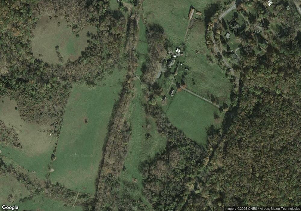
Map
Nearby Homes
- 12509 Sam Snead Hwy
- 356 Routier Hill Rd
- 0 Routier Hill Rd
- tbd Caddis Ln
- 0 Whip Poor Will Hollow Rd Unit 139479
- 11 Bee Town Rd
- 49 Kingstown Ln
- 71 Sandhill Ln
- 1068 Sheep Meadow Rd
- 21 Shepherd's Trail
- SM# 19 Shepherd's Trail
- 120 Lake View Dr
- 154 Lake View Dr
- 10006 Jackson River Turnpike
- SM #60 Quarry Hill Dr
- 47 Quarry Hill Dr
- SMLot # 43 Falconry Ridge
- 2286 Sam Snead Hwy
- 309 Thomastown Rd
- 604 Delafield Rd
- 38 Wooland Heights Dr
- 16 Wooland Heights Dr
- 0 U S 220 Unit WSF09 560796
- 0 U S 220 Unit WSF03 560789
- 0 U S 220 Unit WSF02
- 92 Katydid Trail
- 90 Courthouse Hill Rd
- 32 McClintic Heights Dr
- 48 McClintic Heights Dr
- 88 Katydid Trail
- 39 Katydid Trail
- 54 Courthouse Hill Rd
- 96 Courthouse Hill Rd
- 82 Courthouse Hill Rd
- 82 Courthouse Hill Rd Unit 619
- 74 Courthouse Hill Rd
- 68 McClintic Heights Dr
- 161 McClintic Heights Dr
- 54 Katydid Trail
- 42 Courthouse Hill Rd