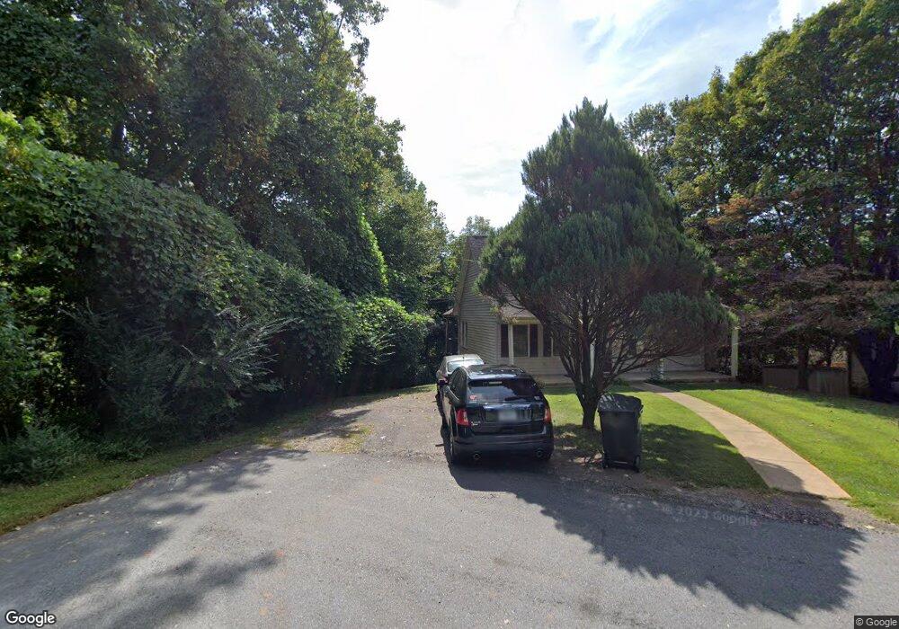
170 Oliver Dr Dahlonega, GA 30533
Estimated Value: $297,000 - $349,000
3
Beds
2
Baths
1,326
Sq Ft
$242/Sq Ft
Est. Value
About This Home
This home is located at 170 Oliver Dr, Dahlonega, GA 30533 and is currently estimated at $320,400, approximately $241 per square foot. 170 Oliver Dr is a home located in Lumpkin County with nearby schools including Clay County Middle School and Lumpkin County High School.
Ownership History
Date
Name
Owned For
Owner Type
Purchase Details
Closed on
Aug 1, 2016
Sold by
Barrett B David
Bought by
North Georgia Commons Llc
Current Estimated Value
Home Financials for this Owner
Home Financials are based on the most recent Mortgage that was taken out on this home.
Original Mortgage
$102,000
Interest Rate
3.48%
Mortgage Type
Commercial
Purchase Details
Closed on
May 15, 2001
Sold by
Foster Charles C
Bought by
Barrett B David
Purchase Details
Closed on
Sep 3, 1996
Sold by
Foster Enterprises
Bought by
Foster Charles C
Purchase Details
Closed on
Nov 11, 1995
Bought by
Foster Enterprises
Purchase Details
Closed on
Feb 5, 1993
Bought by
Gentry Ray D Inge
Purchase Details
Closed on
Nov 1, 1980
Bought by
Self Alvin
Create a Home Valuation Report for This Property
The Home Valuation Report is an in-depth analysis detailing your home's value as well as a comparison with similar homes in the area
Home Values in the Area
Average Home Value in this Area
Purchase History
| Date | Buyer | Sale Price | Title Company |
|---|---|---|---|
| North Georgia Commons Llc | $120,000 | -- | |
| Barrett B David | $121,000 | -- | |
| Foster Charles C | -- | -- | |
| Foster Enterprises | $64,000 | -- | |
| Gentry Ray D Inge | $67,500 | -- | |
| Self Alvin | -- | -- |
Source: Public Records
Mortgage History
| Date | Status | Borrower | Loan Amount |
|---|---|---|---|
| Closed | North Georgia Commons Llc | $102,000 |
Source: Public Records
Tax History Compared to Growth
Tax History
| Year | Tax Paid | Tax Assessment Tax Assessment Total Assessment is a certain percentage of the fair market value that is determined by local assessors to be the total taxable value of land and additions on the property. | Land | Improvement |
|---|---|---|---|---|
| 2024 | $2,655 | $92,038 | $8,000 | $84,038 |
| 2023 | $2,480 | $86,019 | $8,000 | $78,019 |
| 2022 | $2,236 | $73,205 | $8,000 | $65,205 |
| 2021 | $1,716 | $52,597 | $8,000 | $44,597 |
| 2020 | $1,736 | $51,224 | $8,000 | $43,224 |
| 2019 | $1,745 | $51,224 | $8,000 | $43,224 |
| 2018 | $1,670 | $45,881 | $8,000 | $37,881 |
| 2017 | $1,645 | $44,440 | $8,000 | $36,440 |
| 2016 | $1,546 | $40,878 | $8,000 | $32,878 |
| 2015 | $1,352 | $40,878 | $8,000 | $32,878 |
| 2014 | $1,352 | $41,767 | $8,000 | $33,767 |
| 2013 | -- | $42,211 | $8,000 | $34,211 |
Source: Public Records
Map
Nearby Homes
- 502 Wimpy Mill Rd
- 94 Mountain View Dr
- 95 Jones St
- 399 N Chestatee St
- 0 Highway 19 N Unit 10594984
- 97 Beaumont Dr
- 0 S Chestatee St Unit 10619536
- 315 Church St
- 168 W Main St
- 1392 S Chestatee St
- 6480A Highway 52
- 329 Morrison Moore Pkwy E
- 120 Riley Rd
- 0 Timberlane Dr Unit 10483799
- 0 Timberlane Dr Unit 7479971
- LOT 6 Sky Country Rd
- 159 Misty Way
- 490 N Hall Rd
- 0 Highway 60 Unit 7241582
- 0 Highway 9 S Unit 10487179