170 Paul Smith Rd Covington, GA 30014
Walnut Grove NeighborhoodEstimated Value: $105,086 - $374,000
--
Bed
--
Bath
--
Sq Ft
0.91
Acres
About This Home
This home is located at 170 Paul Smith Rd, Covington, GA 30014 and is currently estimated at $233,695. 170 Paul Smith Rd is a home located in Walton County with nearby schools including Walnut Grove Elementary School, Youth Middle School, and Walnut Grove High School.
Ownership History
Date
Name
Owned For
Owner Type
Purchase Details
Closed on
Aug 4, 2023
Sold by
Wilbanks Melissa Leigh Fink
Bought by
Atco Contracting Inc
Current Estimated Value
Home Financials for this Owner
Home Financials are based on the most recent Mortgage that was taken out on this home.
Original Mortgage
$19,200
Interest Rate
6.81%
Mortgage Type
New Conventional
Purchase Details
Closed on
Dec 1, 1988
Bought by
Slemp Dana Albert
Create a Home Valuation Report for This Property
The Home Valuation Report is an in-depth analysis detailing your home's value as well as a comparison with similar homes in the area
Home Values in the Area
Average Home Value in this Area
Purchase History
| Date | Buyer | Sale Price | Title Company |
|---|---|---|---|
| Atco Contracting Inc | $23,000 | -- | |
| Slemp Dana Albert | -- | -- |
Source: Public Records
Mortgage History
| Date | Status | Borrower | Loan Amount |
|---|---|---|---|
| Closed | Atco Contracting Inc | $19,200 |
Source: Public Records
Tax History Compared to Growth
Tax History
| Year | Tax Paid | Tax Assessment Tax Assessment Total Assessment is a certain percentage of the fair market value that is determined by local assessors to be the total taxable value of land and additions on the property. | Land | Improvement |
|---|---|---|---|---|
| 2024 | $500 | $16,952 | $16,320 | $632 |
| 2023 | $400 | $13,192 | $12,560 | $632 |
| 2022 | $380 | $12,032 | $11,400 | $632 |
| 2021 | $247 | $7,592 | $6,960 | $632 |
| 2020 | $239 | $7,152 | $6,520 | $632 |
| 2019 | $212 | $5,632 | $5,000 | $632 |
| 2018 | $188 | $5,632 | $5,000 | $632 |
| 2017 | $160 | $4,632 | $4,000 | $632 |
| 2016 | $159 | $4,672 | $4,000 | $672 |
| 2015 | $161 | $4,672 | $4,000 | $672 |
| 2014 | $169 | $4,788 | $4,000 | $788 |
Source: Public Records
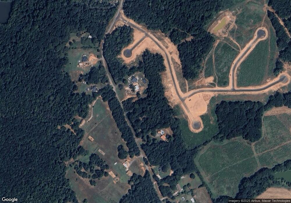
Map
Nearby Homes
- 63 Paul Smith Rd Unit 2
- 63 Paul Smith Rd
- 75 Paul Smith Rd
- 73 Paul Smith Rd
- 233 Elm St
- 392 Hightower Ridge Rd
- 440 Creekside Park
- 620 Creekside Trace
- 1610 Olympic Cir
- 2071 Habersham Cir
- 1620 Olympic Cir
- 466 Hwy 81
- 89 Cowpen Ct
- 583 Overlook Rd
- 4239 Lower Jersey Rd
- 1760 Highway 138
- TRACT 1 Lower Jersey Rd
- 1800 Walnut Ave
- 4185 Gauntt Rd
- +/- 14 ACRES Youth Jersey Rd
- 180 Paul Smith Rd
- 150 Paul Smith Rd
- 135 Paul Smith Rd
- 145 Paul Smith Rd
- 78 Paul Smith Rd
- 214 Paul Smith Rd
- 240 Paul Smith Rd
- 155 Paul Smith Rd
- 165 Paul Smith Rd
- 245 Paul Smith Rd
- 260 Paul Smith Rd
- 175 Paul Smith Rd
- 103 Paul Smith Rd
- 103 Paul Smith Rd
- 103 Paul Smith Rd
- 300 Paul Smith Rd
- 349 Paul Smith Rd
- 349 Paul Smith Rd
- 4458 Oak Ln
- 83 Paul Smith Rd