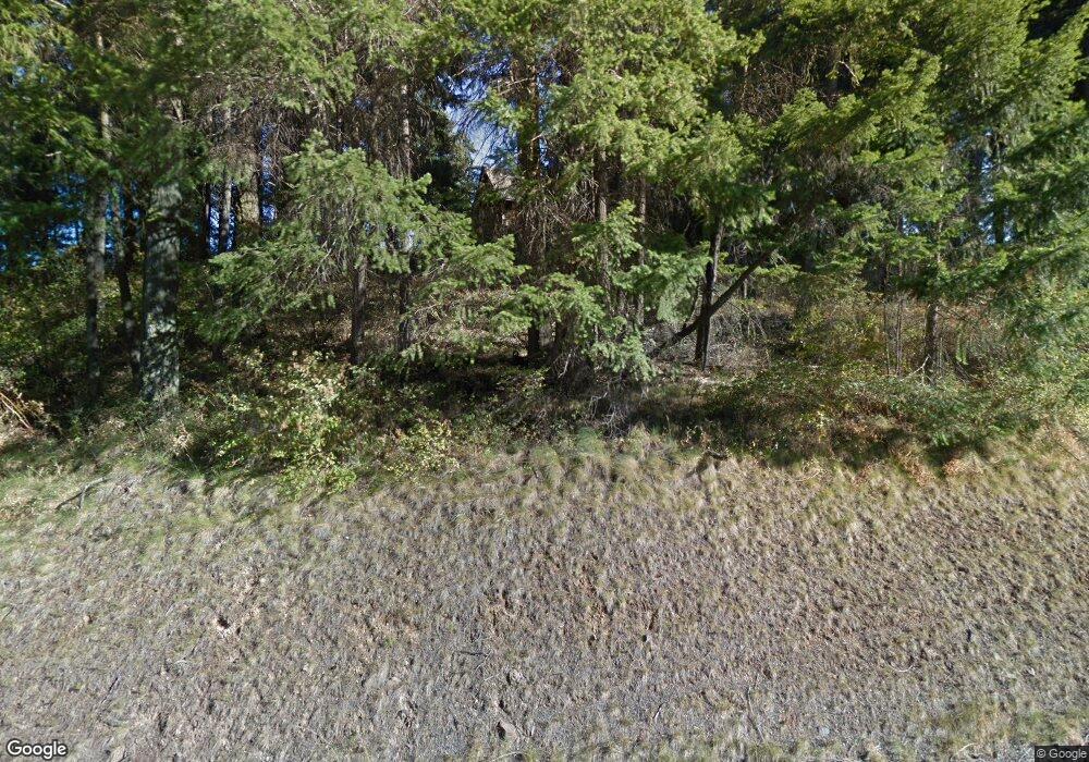
170 Pease Rd Cle Elum, WA 98922
Estimated Value: $533,000 - $877,000
2
Beds
2
Baths
1,526
Sq Ft
$445/Sq Ft
Est. Value
About This Home
This home is located at 170 Pease Rd, Cle Elum, WA 98922 and is currently estimated at $679,064, approximately $444 per square foot. 170 Pease Rd is a home located in Kittitas County with nearby schools including Cle Elum Roslyn Elementary School, Walter Strom Middle School, and Cle Elum Roslyn High School.
Ownership History
Date
Name
Owned For
Owner Type
Purchase Details
Closed on
Sep 4, 2009
Sold by
Rasnack Susan R and Novak John
Bought by
Novak John and Rasnack Susan R
Current Estimated Value
Home Financials for this Owner
Home Financials are based on the most recent Mortgage that was taken out on this home.
Original Mortgage
$214,500
Outstanding Balance
$135,284
Interest Rate
4.5%
Mortgage Type
Adjustable Rate Mortgage/ARM
Estimated Equity
$543,780
Purchase Details
Closed on
May 28, 2008
Sold by
Becker Courtney and Green Harold M
Bought by
Rasnack Susan R
Home Financials for this Owner
Home Financials are based on the most recent Mortgage that was taken out on this home.
Original Mortgage
$168,000
Interest Rate
5.87%
Mortgage Type
New Conventional
Purchase Details
Closed on
Nov 30, 2007
Sold by
Muzzall Wendy
Bought by
Becker Courtney and Green Harold M
Create a Home Valuation Report for This Property
The Home Valuation Report is an in-depth analysis detailing your home's value as well as a comparison with similar homes in the area
Home Values in the Area
Average Home Value in this Area
Purchase History
| Date | Buyer | Sale Price | Title Company |
|---|---|---|---|
| Novak John | -- | None Available | |
| Rasnack Susan R | $280,000 | Stewart Title | |
| Becker Courtney | -- | None Available |
Source: Public Records
Mortgage History
| Date | Status | Borrower | Loan Amount |
|---|---|---|---|
| Open | Novak John | $214,500 | |
| Closed | Rasnack Susan R | $168,000 |
Source: Public Records
Tax History Compared to Growth
Tax History
| Year | Tax Paid | Tax Assessment Tax Assessment Total Assessment is a certain percentage of the fair market value that is determined by local assessors to be the total taxable value of land and additions on the property. | Land | Improvement |
|---|---|---|---|---|
| 2025 | $3,220 | $579,240 | $172,750 | $406,490 |
| 2023 | $3,220 | $477,810 | $128,750 | $349,060 |
| 2022 | $2,995 | $414,600 | $122,500 | $292,100 |
| 2021 | $2,935 | $387,110 | $95,000 | $292,110 |
| 2019 | $2,287 | $299,960 | $67,500 | $232,460 |
| 2018 | $1,962 | $244,320 | $58,880 | $185,440 |
| 2017 | $1,962 | $244,320 | $58,880 | $185,440 |
| 2016 | $1,967 | $244,320 | $58,880 | $185,440 |
| 2015 | $2,185 | $244,320 | $58,880 | $185,440 |
| 2013 | -- | $254,710 | $67,500 | $187,210 |
Source: Public Records
Map
Nearby Homes
- 491 Pease Rd
- 31 Groeschell Rd
- 70 Farmhouse Way
- 208 Sage Brook Ln
- 220 Sage Brook Ln
- 501 Cleveland Ave
- 513 Cleveland Ave
- 505 6th St
- 0 NKA Milwaukee Ave
- 0 XXX Westside Rd
- 41 Panorama Dr
- 713 Main St
- 508 E 1st St
- 71 Plateau Loop
- 81 Plateau Loop
- 20 Retreat Place
- 80 Plateau Loop
- 811 Lincoln Ave
- 515 E 1st St
- 406 W 1st St
- 51 Upper Peoh Point Rd
- 5 Pease Rd
- 3 Pease Rd
- 0 Lot A Pease Rd Unit 89670
- 0 Pease Rd Unit 57121
- 0 Pease Rd Unit 57053
- 0 Pease Rd Unit 29083604
- 2 Pease Rd
- 40 Lower Peoh Point Rd
- 91 Upper Peoh Point Rd
- 21 Dunnagan Ave
- 300 Pease Rd
- 0 Lot 1 Lower Peoh Point Rd
- 0 Upper Peoh Pt Rd Unit 937819
- 0 Peoh Point Unit 28111057
- 0 Upper Peoh Pt Rd Unit 29055451
- 0 Upper Peoh Pt Rd Unit NWM2030521
- 2 Upper Peoh Point Rd
- 4 Upper Peoh Point Rd
- 6 Upper Peoh Point Rd
