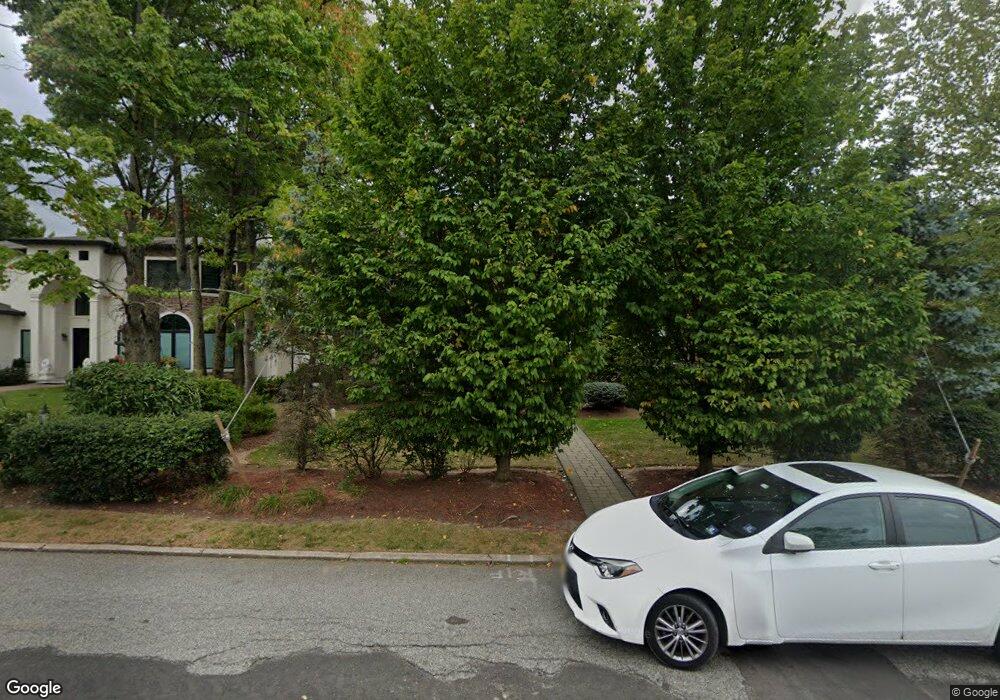
170 Pershing Rd Englewood Cliffs, NJ 07632
Estimated Value: $2,676,000 - $3,119,000
--
Bed
--
Bath
5,426
Sq Ft
$524/Sq Ft
Est. Value
About This Home
This home is located at 170 Pershing Rd, Englewood Cliffs, NJ 07632 and is currently estimated at $2,845,237, approximately $524 per square foot. 170 Pershing Rd is a home located in Bergen County with nearby schools including North Cliff Elementary School, Upper School Elementary School, and Dwight-Englewood School.
Ownership History
Date
Name
Owned For
Owner Type
Purchase Details
Closed on
Mar 13, 2012
Sold by
Tabibian Hajop and Tabibian Dina
Bought by
Mosseri Maurice
Current Estimated Value
Purchase Details
Closed on
Jun 29, 1995
Sold by
Nausester Henry and Nausester Kathy
Bought by
Tabibian Hajop and Tabibian Dina
Home Financials for this Owner
Home Financials are based on the most recent Mortgage that was taken out on this home.
Original Mortgage
$268,000
Interest Rate
7.7%
Create a Home Valuation Report for This Property
The Home Valuation Report is an in-depth analysis detailing your home's value as well as a comparison with similar homes in the area
Home Values in the Area
Average Home Value in this Area
Purchase History
| Date | Buyer | Sale Price | Title Company |
|---|---|---|---|
| Mosseri Maurice | $1,800,000 | -- | |
| Tabibian Hajop | $490,000 | -- |
Source: Public Records
Mortgage History
| Date | Status | Borrower | Loan Amount |
|---|---|---|---|
| Previous Owner | Tabibian Hajop | $268,000 |
Source: Public Records
Tax History Compared to Growth
Tax History
| Year | Tax Paid | Tax Assessment Tax Assessment Total Assessment is a certain percentage of the fair market value that is determined by local assessors to be the total taxable value of land and additions on the property. | Land | Improvement |
|---|---|---|---|---|
| 2025 | $21,945 | $1,900,000 | $1,130,900 | $769,100 |
| 2024 | $21,679 | $1,900,000 | $1,130,900 | $769,100 |
| 2023 | $21,337 | $1,900,000 | $1,130,900 | $769,100 |
| 2022 | $21,337 | $1,900,000 | $1,130,900 | $769,100 |
| 2021 | $16,354 | $1,900,000 | $1,130,900 | $769,100 |
| 2020 | $21,869 | $1,900,000 | $1,130,900 | $769,100 |
| 2019 | $20,539 | $1,900,000 | $1,130,900 | $769,100 |
| 2018 | $19,817 | $1,900,000 | $1,130,900 | $769,100 |
| 2017 | $18,962 | $1,900,000 | $1,130,900 | $769,100 |
| 2016 | $18,601 | $1,900,000 | $1,130,900 | $769,100 |
| 2015 | $22,446 | $2,413,600 | $1,130,900 | $1,282,700 |
| 2014 | $20,998 | $2,413,600 | $1,130,900 | $1,282,700 |
Source: Public Records
Map
Nearby Homes
- 2 Maple St
- 30 Reiner Place
- 148 Demarest Ave
- 645 Summit St
- 244 Fairview Ave
- 45 Marjorie Terrace
- 577 Floyd St
- 48 Cambridge Place
- 231 N Woodland St
- 519 E Palisade Ave
- 277 Walnut St
- 48 S Woodland St
- 12 Kira Ln
- 2 Connor Dr
- 14 Allison Dr
- 294 Oakwood Rd
- 14 Roberts Rd
- 298 Booth Ave
- 320 Mountain Rd
- 379 Mauro Rd
- 178 Pershing Rd
- 164 Pershing Rd
- 155 Demarest Ave
- 159 Demarest Ave
- 162 Pershing Rd
- 175 Pershing Rd
- 171 Pershing Rd
- 185 Pershing Rd
- 151 Demarest Ave
- 102 Pershing Rd
- 158 Pershing Rd
- 195 Pershing Rd
- 160 Demarest Ave
- 60 Karens Ln
- 149 Pershing Rd
- 156 Demarest Ave
- 160 Chestnut St
- 172 Chestnut St
- 152 Demarest Ave
- 56 Karens Ln