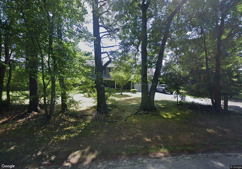
170 Poor Farm Rd Coventry, RI 02816
Estimated Value: $567,000 - $678,000
4
Beds
3
Baths
2,310
Sq Ft
$274/Sq Ft
Est. Value
About This Home
This home is located at 170 Poor Farm Rd, Coventry, RI 02816 and is currently estimated at $633,683, approximately $274 per square foot. 170 Poor Farm Rd is a home located in Kent County with nearby schools including Alan Shawn Feinstein Ms Of Cov, Coventry High School, and Father John V. Doyle School.
Ownership History
Date
Name
Owned For
Owner Type
Purchase Details
Closed on
Jan 2, 2002
Sold by
Hebert Jane F
Bought by
Olney Gary and Olney Sue
Current Estimated Value
Purchase Details
Closed on
May 1, 1989
Sold by
Skarzenski Donald
Bought by
Hebert Jane
Create a Home Valuation Report for This Property
The Home Valuation Report is an in-depth analysis detailing your home's value as well as a comparison with similar homes in the area
Home Values in the Area
Average Home Value in this Area
Purchase History
| Date | Buyer | Sale Price | Title Company |
|---|---|---|---|
| Olney Gary | $240,000 | -- | |
| Hebert Jane | $195,000 | -- |
Source: Public Records
Mortgage History
| Date | Status | Borrower | Loan Amount |
|---|---|---|---|
| Open | Hebert Jane | $92,340 | |
| Closed | Hebert Jane | $100,000 | |
| Closed | Hebert Jane | $26,500 |
Source: Public Records
Tax History Compared to Growth
Tax History
| Year | Tax Paid | Tax Assessment Tax Assessment Total Assessment is a certain percentage of the fair market value that is determined by local assessors to be the total taxable value of land and additions on the property. | Land | Improvement |
|---|---|---|---|---|
| 2024 | $7,063 | $445,900 | $156,000 | $289,900 |
| 2023 | $6,836 | $445,900 | $156,000 | $289,900 |
| 2022 | $6,458 | $330,000 | $140,000 | $190,000 |
| 2021 | $6,402 | $330,000 | $140,000 | $190,000 |
| 2020 | $7,339 | $330,000 | $140,000 | $190,000 |
| 2019 | $6,781 | $304,900 | $132,000 | $172,900 |
| 2018 | $6,589 | $304,900 | $132,000 | $172,900 |
| 2017 | $6,397 | $304,900 | $132,000 | $172,900 |
| 2016 | $6,453 | $301,400 | $124,900 | $176,500 |
| 2015 | $6,278 | $301,400 | $124,900 | $176,500 |
| 2014 | $6,147 | $301,400 | $124,900 | $176,500 |
| 2013 | $5,473 | $293,300 | $122,400 | $170,900 |
Source: Public Records
Map
Nearby Homes
- 17 Paige Dr
- 60 Town Farm Rd
- 0 Poor Farm Lot 68 Rd
- 0 Poor Farm Lot 69 Rd
- 0 Poor Farm Lot 67 Rd
- 170 Acres of Pine Rd
- 1 Whitehead Rd
- 0 Whitehead Rd Unit 1395877
- 2 Whitehead Rd
- 12 Pine Way Blvd
- 6 Boyd Brook Cir
- 0 Town Farm Rd
- 33 Cassidy Trail
- 24 Cassidy Trail
- 29 Cassidy Trail
- 22 Cassidy Trail
- 20 Cassidy Trail
- 207 Shady Valley Rd
- 93 Provident Place
- 21 Fieldstone Dr
- 146 Poor Farm Rd
- 192 Poor Farm Rd
- 195 Town Farm Rd
- 124 Poor Farm Rd
- 169 Town Farm Rd
- 184 Poor Farm Rd
- 178 Town Farm Rd
- 208 Town Farm Rd
- 100 Poor Farm Rd
- 139 Town Farm Rd
- 115 Town Farm Rd
- 12 Paige Dr
- 11 Paige Dr
- 148 Town Farm Rd
- 13 Paige Dr
- 105 Town Farm Rd
- 0 Poor Farm Unit 1348664
- 0 Poor Farm Unit 67 Road
- 74 Poor Farm Rd
- 10 Paige Dr