170 Port Side Lakemoor, IL 60051
East Lakemoor NeighborhoodEstimated Value: $48,049 - $87,000
--
Bed
--
Bath
--
Sq Ft
4,704
Sq Ft Lot
About This Home
This home is located at 170 Port Side, Lakemoor, IL 60051 and is currently estimated at $64,350. 170 Port Side is a home located in Lake County with nearby schools including Big Hollow Primary School, Big Hollow Elementary School, and Big Hollow Middle School.
Ownership History
Date
Name
Owned For
Owner Type
Purchase Details
Closed on
Sep 23, 2021
Sold by
Sacco Stephen A and Sacco Julie A
Bought by
Rivard Raymond
Current Estimated Value
Purchase Details
Closed on
Jul 15, 2009
Sold by
Calamia Rick A and Calamia Ericka J
Bought by
Sacco Stephen D and Sacco Julie A
Home Financials for this Owner
Home Financials are based on the most recent Mortgage that was taken out on this home.
Original Mortgage
$21,000
Interest Rate
5.62%
Mortgage Type
Purchase Money Mortgage
Purchase Details
Closed on
Apr 9, 2003
Sold by
Manthe Peter D
Bought by
Calamia Rick A and Calamia Ericka J
Create a Home Valuation Report for This Property
The Home Valuation Report is an in-depth analysis detailing your home's value as well as a comparison with similar homes in the area
Home Values in the Area
Average Home Value in this Area
Purchase History
| Date | Buyer | Sale Price | Title Company |
|---|---|---|---|
| Rivard Raymond | $35,000 | Clark & Mcardle Pc | |
| Sacco Stephen D | $35,000 | Multiple | |
| Calamia Rick A | $10,000 | Greater Illinois Title Compa |
Source: Public Records
Mortgage History
| Date | Status | Borrower | Loan Amount |
|---|---|---|---|
| Previous Owner | Sacco Stephen D | $21,000 |
Source: Public Records
Tax History Compared to Growth
Tax History
| Year | Tax Paid | Tax Assessment Tax Assessment Total Assessment is a certain percentage of the fair market value that is determined by local assessors to be the total taxable value of land and additions on the property. | Land | Improvement |
|---|---|---|---|---|
| 2024 | $357 | $4,211 | $2,956 | $1,255 |
| 2023 | $357 | $3,781 | $2,785 | $996 |
| 2022 | $305 | $3,199 | $2,183 | $1,016 |
| 2021 | $295 | $3,016 | $2,058 | $958 |
| 2020 | $296 | $2,973 | $2,029 | $944 |
| 2019 | $290 | $2,851 | $1,946 | $905 |
| 2018 | $449 | $4,102 | $2,515 | $1,587 |
| 2017 | $426 | $3,792 | $2,325 | $1,467 |
| 2016 | $428 | $3,468 | $2,126 | $1,342 |
| 2015 | $419 | $3,236 | $1,984 | $1,252 |
| 2014 | $384 | $3,011 | $1,815 | $1,196 |
| 2012 | $768 | $3,226 | $1,933 | $1,293 |
Source: Public Records
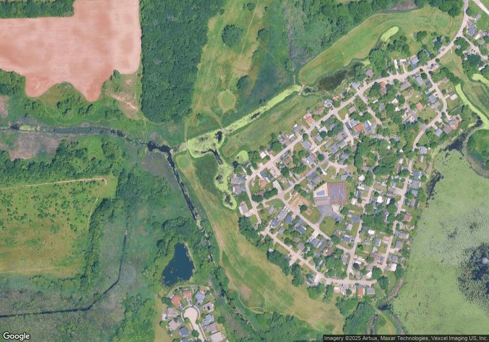
Map
Nearby Homes
- 182 Windward
- 4 Fishook Bay
- 27 Oyster Bay
- 723 Morris Ct Unit 7
- 676 Morris Ct
- 610 Wildwood Ln Unit 8066
- 336 Rosedale Dr
- 425 Northlake Rd
- 32022 Savannah Dr
- 32018 Savannah Dr
- 32016 Savannah Dr
- 32403 N Mackinac Ln Unit 101
- 132 Rand Rd
- 0 Rand Rd
- 32012 Savannah Dr
- 32006 W Savannah Dr
- 32060 Savannah Dr
- 32004 Savannah Dr
- 32111 N Great Plaines Ave
- 31918 Hillside Dr