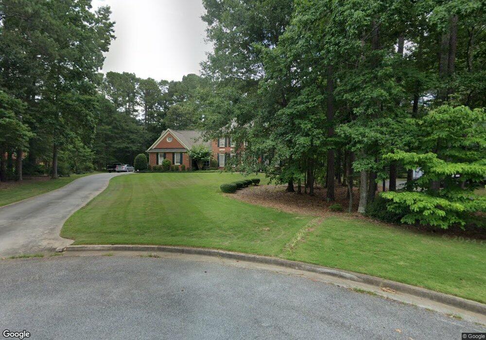
170 Raymond Ct Fayetteville, GA 30214
Estimated Value: $512,000 - $728,000
--
Bed
1
Bath
3,908
Sq Ft
$156/Sq Ft
Est. Value
About This Home
This home is located at 170 Raymond Ct, Fayetteville, GA 30214 and is currently estimated at $609,177, approximately $155 per square foot. 170 Raymond Ct is a home located in Fayette County with nearby schools including Bennett's Mill Middle School, Fayette County High School, and The Forest School: An Acton Academy.
Ownership History
Date
Name
Owned For
Owner Type
Purchase Details
Closed on
Apr 11, 2014
Sold by
Waller John G
Bought by
Waller John G and Waller Anh Vu
Current Estimated Value
Home Financials for this Owner
Home Financials are based on the most recent Mortgage that was taken out on this home.
Original Mortgage
$259,000
Outstanding Balance
$197,554
Interest Rate
4.43%
Mortgage Type
New Conventional
Estimated Equity
$411,623
Purchase Details
Closed on
Nov 17, 2011
Sold by
Waller Joyce
Bought by
Waller John G
Create a Home Valuation Report for This Property
The Home Valuation Report is an in-depth analysis detailing your home's value as well as a comparison with similar homes in the area
Home Values in the Area
Average Home Value in this Area
Purchase History
| Date | Buyer | Sale Price | Title Company |
|---|---|---|---|
| Waller John G | -- | -- | |
| Waller John G | -- | -- |
Source: Public Records
Mortgage History
| Date | Status | Borrower | Loan Amount |
|---|---|---|---|
| Open | Waller John G | $259,000 |
Source: Public Records
Tax History Compared to Growth
Tax History
| Year | Tax Paid | Tax Assessment Tax Assessment Total Assessment is a certain percentage of the fair market value that is determined by local assessors to be the total taxable value of land and additions on the property. | Land | Improvement |
|---|---|---|---|---|
| 2024 | $2,499 | $245,576 | $34,400 | $211,176 |
| 2023 | $2,160 | $235,240 | $34,400 | $200,840 |
| 2022 | $2,512 | $224,840 | $34,400 | $190,440 |
| 2021 | $2,523 | $173,400 | $15,000 | $158,400 |
| 2020 | $2,949 | $161,400 | $15,000 | $146,400 |
| 2019 | $2,831 | $153,160 | $15,000 | $138,160 |
| 2018 | $2,693 | $144,400 | $15,000 | $129,400 |
| 2017 | $2,523 | $134,400 | $15,000 | $119,400 |
| 2016 | $2,322 | $120,320 | $15,000 | $105,320 |
| 2015 | $2,183 | $110,960 | $15,000 | $95,960 |
| 2014 | $2,007 | $99,960 | $15,000 | $84,960 |
| 2013 | -- | $92,480 | $0 | $0 |
Source: Public Records
Map
Nearby Homes
- 145 Woodsong Dr
- 0 Highway 92 N Unit 10594507
- 0 Highway 92 N Unit 7570733
- 550 Ginger Cake Rd
- 636 Ginger Cake Rd
- 671 Ginger Cake Rd
- 234 Stanley Rd
- 220 Eastmark Way
- 190 Rolison Way
- 140 Rolison Way
- 150 Rolison Way
- 235 Rolison Way
- 170 Liberty Dr
- 150 Bartow St Unit LOT 5
- 140 Bartow St Unit LOT 4
- 130 Reese St
- 115 Westside Way
- E OF 118 Stanley Rd
- 150 Hickory Rd
- 125 Sir Lancelot Ct
- 160 Raymond Ct
- 180 Raymond Ct
- 150 Raymond Ct
- 175 Raymond Ct
- 135 Raymond Ct
- 140 Raymond Ct
- S Raymond Ct Unit 1&2
- 155 Raymond Ct
- 138 Graves Rd
- 130 Raymond Ct
- 115 Woodsong Place
- 115 Woodsong Place Unit 11
- 589 Ginger Cake Rd
- 0 Graves Rd Unit 20006890
- 0 Graves Rd Unit 8666263
- 0 Graves Rd Unit 3240960
- 0 Graves Rd Unit 7242282
- 0 Graves Rd Unit 9049234
- 0 Graves Rd Unit 3147347
- 0 Graves Rd Unit 3181101