Estimated Value: $358,000 - $478,000
4
Beds
3
Baths
2,992
Sq Ft
$136/Sq Ft
Est. Value
About This Home
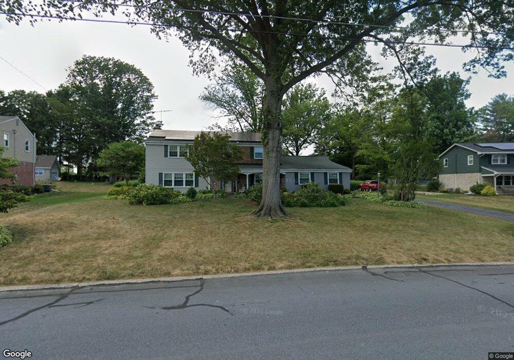
This home is located at 170 Rhonda Dr, York, PA 17408 and is currently estimated at $407,376, approximately $136 per square foot. 170 Rhonda Dr is a home located in York County with nearby schools including West York Area High School and St Rose Of Lima School.
Ownership History
Date
Name
Owned For
Owner Type
Purchase Details
Closed on
Feb 26, 2010
Sold by
Jacobs Fern F and Horn Sheryl L
Bought by
Moose Alan D and Moose Tricia D
Current Estimated Value
Home Financials for this Owner
Home Financials are based on the most recent Mortgage that was taken out on this home.
Original Mortgage
$140,800
Outstanding Balance
$93,923
Interest Rate
5.11%
Mortgage Type
New Conventional
Estimated Equity
$313,453
Purchase Details
Closed on
Nov 17, 1971
Bought by
Jacobs Fern F
Create a Home Valuation Report for This Property
The Home Valuation Report is an in-depth analysis detailing your home's value as well as a comparison with similar homes in the area
Home Values in the Area
Average Home Value in this Area
Purchase History
| Date | Buyer | Sale Price | Title Company |
|---|---|---|---|
| Moose Alan D | $176,000 | None Available | |
| Jacobs Fern F | -- | -- |
Source: Public Records
Mortgage History
| Date | Status | Borrower | Loan Amount |
|---|---|---|---|
| Open | Moose Alan D | $140,800 |
Source: Public Records
Tax History Compared to Growth
Tax History
| Year | Tax Paid | Tax Assessment Tax Assessment Total Assessment is a certain percentage of the fair market value that is determined by local assessors to be the total taxable value of land and additions on the property. | Land | Improvement |
|---|---|---|---|---|
| 2025 | $5,876 | $174,240 | $34,820 | $139,420 |
| 2024 | $5,728 | $174,240 | $34,820 | $139,420 |
| 2023 | $5,728 | $174,240 | $34,820 | $139,420 |
| 2022 | $5,728 | $174,240 | $34,820 | $139,420 |
| 2021 | $5,554 | $174,240 | $34,820 | $139,420 |
| 2020 | $5,554 | $174,240 | $34,820 | $139,420 |
| 2019 | $5,449 | $174,240 | $34,820 | $139,420 |
| 2018 | $5,406 | $174,240 | $34,820 | $139,420 |
| 2017 | $5,240 | $174,240 | $34,820 | $139,420 |
| 2016 | $0 | $174,240 | $34,820 | $139,420 |
| 2015 | -- | $174,240 | $34,820 | $139,420 |
| 2014 | -- | $174,240 | $34,820 | $139,420 |
Source: Public Records
Map
Nearby Homes
- 105 Margate Rd
- 5 Shennys Dr
- 410 Hanover Rd
- 4650 Wolfs Church Rd
- 4415 A W Market St
- 4325 W Market St
- 238 Perry Ave
- 625 Bairs Rd
- 665 Bairs Rd
- 652 Stoverstown Rd
- 5247 Lincoln Hwy W
- 4160 W Market St
- 5297 Lincoln Hwy W
- 4125 W Market St
- 932 Hanover Rd
- 4075 Rolling Meadow Ct
- 253 B St Unit 253
- 4070 Rolling Meadow Ct
- 8 Spring Ridge Dr
- 4001 Rolling Meadow Ct
- 180 Rhonda Dr
- 160 Rhonda Dr
- 61 Evergreen Ln
- 51 Evergreen Ln
- TBD Rhonda Dr
- 150 Rhonda Dr
- 41 Evergreen Ln
- 190 Rhonda Dr
- 165 Rhonda Dr
- 175 Rhonda Dr
- 101 Evergreen Ln
- 155 Rhonda Dr
- 21 Evergreen Ln
- 185 Rhonda Dr
- 60 Evergreen Ln
- 70 Evergreen Ln
- 121 Evergreen Ln
- 200 Rhonda Dr
- 11 Evergreen Ln
- 30 Evergreen Ln