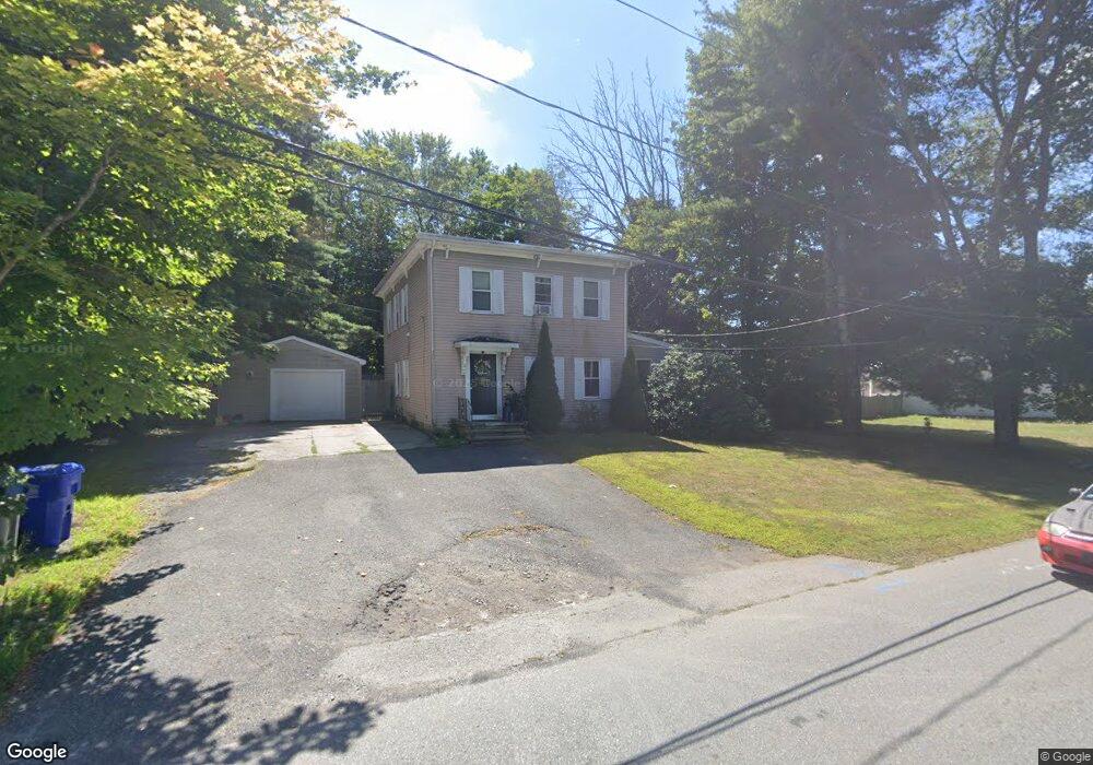
170 Shores St Taunton, MA 02780
Wades Corner NeighborhoodEstimated Value: $475,521 - $559,000
2
Beds
2
Baths
1,800
Sq Ft
$284/Sq Ft
Est. Value
About This Home
This home is located at 170 Shores St, Taunton, MA 02780 and is currently estimated at $511,130, approximately $283 per square foot. 170 Shores St is a home located in Bristol County with nearby schools including Mulcahey Elementary School, Benjamin Friedman Middle School, and Taunton High School.
Ownership History
Date
Name
Owned For
Owner Type
Purchase Details
Closed on
Sep 8, 2006
Sold by
Brandon William
Bought by
Mynne Rt
Current Estimated Value
Purchase Details
Closed on
Aug 8, 2006
Sold by
Brandon William
Bought by
Brandon William and Martello Joanne
Purchase Details
Closed on
Feb 24, 2005
Sold by
Mcgrath Corrine
Bought by
Brandon William and Murphy Heather
Create a Home Valuation Report for This Property
The Home Valuation Report is an in-depth analysis detailing your home's value as well as a comparison with similar homes in the area
Home Values in the Area
Average Home Value in this Area
Purchase History
| Date | Buyer | Sale Price | Title Company |
|---|---|---|---|
| Mynne Rt | -- | -- | |
| Brandon William | -- | -- | |
| Brandon William | $140,000 | -- | |
| Brandon William | $140,000 | -- |
Source: Public Records
Tax History Compared to Growth
Tax History
| Year | Tax Paid | Tax Assessment Tax Assessment Total Assessment is a certain percentage of the fair market value that is determined by local assessors to be the total taxable value of land and additions on the property. | Land | Improvement |
|---|---|---|---|---|
| 2025 | $4,887 | $446,700 | $118,500 | $328,200 |
| 2024 | $4,332 | $387,100 | $118,500 | $268,600 |
| 2023 | $4,263 | $353,800 | $118,500 | $235,300 |
| 2022 | $4,054 | $307,600 | $98,700 | $208,900 |
| 2021 | $3,902 | $274,800 | $89,700 | $185,100 |
| 2020 | $3,754 | $252,600 | $89,700 | $162,900 |
| 2019 | $3,606 | $228,800 | $89,700 | $139,100 |
| 2018 | $3,561 | $226,500 | $90,700 | $135,800 |
| 2017 | $3,210 | $204,300 | $85,900 | $118,400 |
| 2016 | $3,114 | $198,600 | $83,400 | $115,200 |
| 2015 | $2,991 | $199,300 | $81,000 | $118,300 |
| 2014 | $2,935 | $200,900 | $81,000 | $119,900 |
Source: Public Records
Map
Nearby Homes
- 64 Kalman Place
- 6 Grove Ave
- 92 Highland Ave
- 45 Fisher St
- 15 Chase St
- 137 Tremont St
- 17 Davis St
- 0 Norton Ave Unit 73445127
- 26 Kilmer Ave
- 108 Tremont St
- 321 Winthrop St Unit 109
- 170 Highland St Unit 320
- 170 Highland St Unit 119
- 193 Tremont St Unit 124
- 193 Tremont St Unit 95
- 43 Pine St
- 43 Pine St Unit B
- 75 Wales St
- 193 Winthrop St
- 13 Stanley Ave