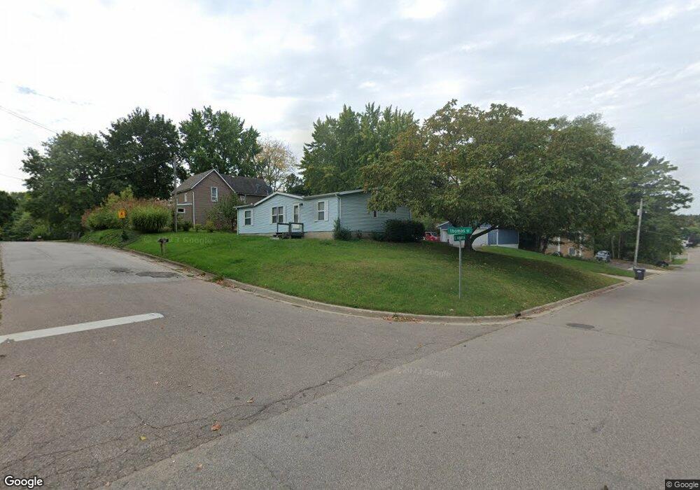
170 Thomas St Coloma, MI 49038
Estimated Value: $216,000 - $220,000
3
Beds
2
Baths
1,260
Sq Ft
$173/Sq Ft
Est. Value
About This Home
This home is located at 170 Thomas St, Coloma, MI 49038 and is currently estimated at $218,438, approximately $173 per square foot. 170 Thomas St is a home located in Berrien County with nearby schools including Coloma Elementary School, Coloma Intermediate School, and Coloma Junior High School.
Ownership History
Date
Name
Owned For
Owner Type
Purchase Details
Closed on
Apr 8, 2010
Sold by
Secretary Of Veterans Affairs
Bought by
Cheek Robert E
Current Estimated Value
Purchase Details
Closed on
Jan 28, 2009
Sold by
Us Bank National Association
Bought by
Department Of Veterans Affairs
Purchase Details
Closed on
Jan 15, 2009
Sold by
Lucker Leon E and Lucker Cynthia L
Bought by
Us Bank National Association
Purchase Details
Closed on
Sep 28, 1994
Purchase Details
Closed on
Mar 31, 1992
Purchase Details
Closed on
Jul 12, 1990
Purchase Details
Closed on
Jul 8, 1990
Purchase Details
Closed on
Sep 27, 1988
Create a Home Valuation Report for This Property
The Home Valuation Report is an in-depth analysis detailing your home's value as well as a comparison with similar homes in the area
Home Values in the Area
Average Home Value in this Area
Purchase History
| Date | Buyer | Sale Price | Title Company |
|---|---|---|---|
| Cheek Robert E | $30,000 | Progressive Title Insurance | |
| Department Of Veterans Affairs | -- | None Available | |
| Us Bank National Association | $54,455 | None Available | |
| -- | $52,500 | -- | |
| -- | $57,000 | -- | |
| -- | $54,000 | -- | |
| -- | $100 | -- | |
| -- | $100 | -- |
Source: Public Records
Tax History
| Year | Tax Paid | Tax Assessment Tax Assessment Total Assessment is a certain percentage of the fair market value that is determined by local assessors to be the total taxable value of land and additions on the property. | Land | Improvement |
|---|---|---|---|---|
| 2025 | $3,138 | $102,500 | $0 | $0 |
| 2024 | $1,748 | $95,900 | $0 | $0 |
| 2023 | $1,674 | $81,200 | $0 | $0 |
| 2022 | $1,594 | $72,600 | $0 | $0 |
| 2021 | $2,810 | $62,600 | $6,600 | $56,000 |
| 2020 | $2,805 | $58,100 | $0 | $0 |
| 2019 | $1,911 | $48,400 | $6,400 | $42,000 |
| 2018 | $1,864 | $48,400 | $0 | $0 |
| 2017 | $1,768 | $47,600 | $0 | $0 |
| 2016 | $1,736 | $49,100 | $0 | $0 |
| 2015 | $1,726 | $50,500 | $0 | $0 |
| 2014 | $1,372 | $43,700 | $0 | $0 |
Source: Public Records
Map
Nearby Homes
- 189 Banks St
- 321 E Center St
- 3190/3198 Prospect St
- 6754 Paw Ave
- 0 Wilson St
- 4568 Wil-O-paw Dr
- 0 Sycamore Bluff
- 6582 Ryno Rd
- 4749 Wil-O-paw Dr
- 4801 Wil-O-paw Dr
- 7039 Curtis Dr
- 6950 Shore Dr
- 7030 N Maple Dr
- 5081 Woodward
- 7285 Paw Ave
- 7349 Red Arrow Hwy
- 0 Mountain Rd
- 4874 Knoll Ct
- 5251 Paw Lake Rd Unit 16
- 4862 Knoll Ct
Your Personal Tour Guide
Ask me questions while you tour the home.