170 Tower Cir Mineral Bluff, GA 30559
Estimated Value: $721,000 - $1,136,000
--
Bed
3
Baths
3,360
Sq Ft
$280/Sq Ft
Est. Value
About This Home
This home is located at 170 Tower Cir, Mineral Bluff, GA 30559 and is currently estimated at $941,904, approximately $280 per square foot. 170 Tower Cir is a home located in Fannin County with nearby schools including Fannin County High School.
Ownership History
Date
Name
Owned For
Owner Type
Purchase Details
Closed on
Mar 9, 2021
Sold by
Pugh Danielle J
Bought by
Pugh David C
Current Estimated Value
Purchase Details
Closed on
Oct 29, 2015
Sold by
Pugh David C
Bought by
Pugh Danielle J
Purchase Details
Closed on
Jun 20, 2011
Sold by
Pugh Danielle J
Bought by
Pugh David C
Purchase Details
Closed on
Aug 3, 2010
Sold by
Pugh David C
Bought by
Pugh Danielle J
Purchase Details
Closed on
Nov 4, 2009
Sold by
Pugh David C
Bought by
Pugh Danielle J
Purchase Details
Closed on
Aug 6, 2009
Sold by
Pugh Danielle Jenise
Bought by
Pugh David C
Purchase Details
Closed on
Sep 24, 2008
Sold by
Pugh David C
Bought by
Pugh David C Jr Danielle J and Pugh David C Jr Dustin J
Purchase Details
Closed on
Jan 3, 2003
Sold by
Pugh David C
Bought by
Pugh David C
Purchase Details
Closed on
Dec 3, 2001
Sold by
Henson Nathan and Henson
Bought by
Pugh David C
Create a Home Valuation Report for This Property
The Home Valuation Report is an in-depth analysis detailing your home's value as well as a comparison with similar homes in the area
Home Values in the Area
Average Home Value in this Area
Purchase History
| Date | Buyer | Sale Price | Title Company |
|---|---|---|---|
| Pugh David C | -- | -- | |
| Pugh Danielle J | -- | -- | |
| Pugh David C | -- | -- | |
| Pugh Danielle J | -- | -- | |
| Pugh Danielle J | -- | -- | |
| Pugh David C | -- | -- | |
| Pugh David C | -- | -- | |
| Pugh David C Jr Danielle J | -- | -- | |
| Pugh David C | -- | -- | |
| Pugh David C | $65,000 | -- |
Source: Public Records
Mortgage History
| Date | Status | Borrower | Loan Amount |
|---|---|---|---|
| Closed | Pugh David C | -- |
Source: Public Records
Tax History Compared to Growth
Tax History
| Year | Tax Paid | Tax Assessment Tax Assessment Total Assessment is a certain percentage of the fair market value that is determined by local assessors to be the total taxable value of land and additions on the property. | Land | Improvement |
|---|---|---|---|---|
| 2024 | $1,953 | $274,478 | $27,360 | $247,118 |
| 2023 | $1,806 | $225,420 | $27,360 | $198,060 |
| 2022 | $1,805 | $225,420 | $27,360 | $198,060 |
| 2021 | $1,846 | $131,680 | $27,360 | $104,320 |
| 2020 | $418 | $29,360 | $27,360 | $2,000 |
| 2019 | $427 | $29,360 | $27,360 | $2,000 |
| 2018 | $422 | $27,360 | $27,360 | $0 |
| 2017 | $484 | $27,360 | $27,360 | $0 |
| 2016 | $465 | $27,360 | $27,360 | $0 |
| 2015 | $485 | $27,360 | $27,360 | $0 |
| 2014 | $487 | $27,360 | $27,360 | $0 |
| 2013 | -- | $80,186 | $27,360 | $52,826 |
Source: Public Records
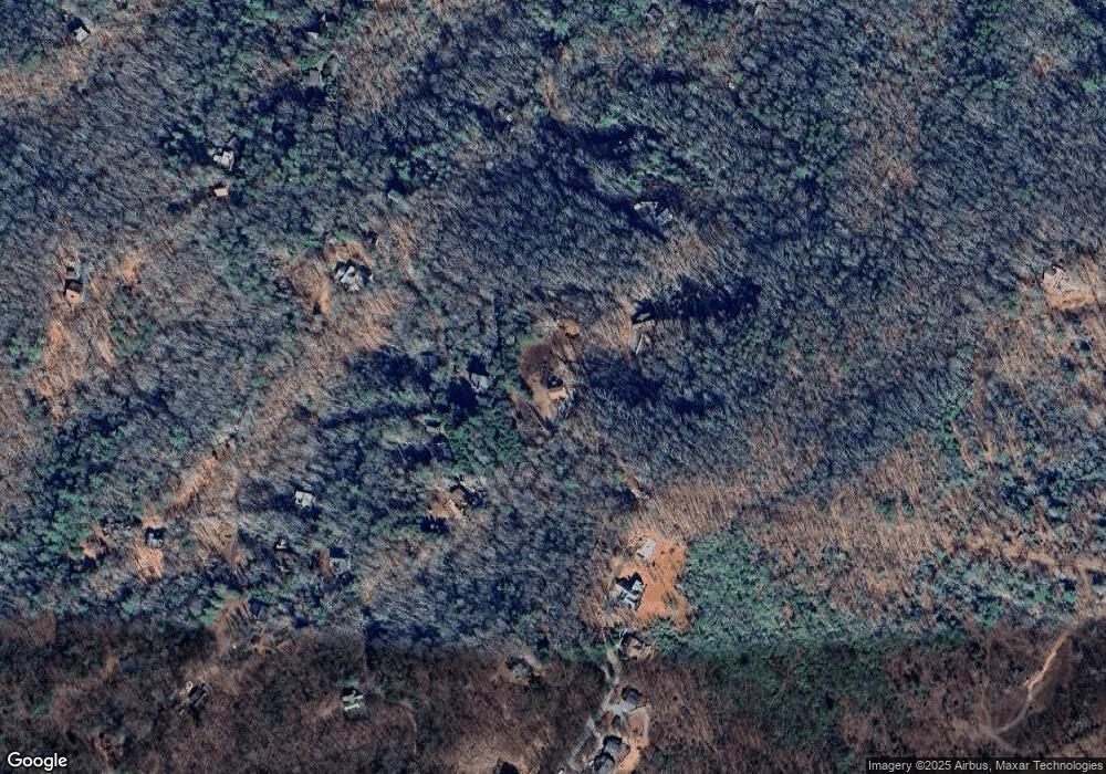
Map
Nearby Homes
- 506 Tower Rd
- 506 Tower Rd Unit 3
- 530 Tower Rd Unit 3
- 530 Tower Rd
- 100 Wintermute Dr
- 705 Hickory Dr
- 313 Spruce Cir
- 437 Spruce Cir
- 437 Spruce Cir Unit G
- Lot 12A Oak Loop
- 433 Spruce Cir
- 588 Tower Rd
- 60 Jackies Bluff Rd
- 1.34 AC Laurel Springs Rd
- 421 Salem Valley Rd
- 2400 Hardscrabble Rd
- 2461 Salem Rd
- 138 Oakwood Trail
- 226 Round Top Rd
- 129 Tower Cir
- 310 Tower Cir
- 257 Oak Loop
- 257 Oak Loop Unit 7
- 360 Tower Cir
- 210 Tower Cir
- 00 Oak Loop
- 400 Tower Cir
- 0 Oak Loop Unit 10366645
- 0 Oak Loop
- LOT 3 Piney Mountain
- 3 Tower Rd
- 60 Jackie's Bluff
- 0 Tower Rd Unit 1 8382951
- 0 Tower Rd Unit 243686
- 0 Tower Rd Unit 108347
- 0 Tower Rd Unit 321564
- 0 Tower Rd Unit 8855748
- 0 Tower Rd Unit 7635432
- 0 Tower Rd Unit 8204083