170 Turner Davis Rd Sharpsburg, GA 30277
Estimated Value: $705,000 - $791,000
4
Beds
4
Baths
2,623
Sq Ft
$287/Sq Ft
Est. Value
About This Home
This home is located at 170 Turner Davis Rd, Sharpsburg, GA 30277 and is currently estimated at $753,103, approximately $287 per square foot. 170 Turner Davis Rd is a home located in Coweta County with nearby schools including Poplar Road Elementary School, East Coweta Middle School, and East Coweta High School.
Ownership History
Date
Name
Owned For
Owner Type
Purchase Details
Closed on
Nov 16, 2018
Sold by
Simpson Jaquelin O
Bought by
Simpson Jaqueline O and Simpson Bryan K
Current Estimated Value
Purchase Details
Closed on
Jan 7, 2005
Sold by
Mccurry Kenneth and Mccurry Jacqueline
Bought by
Mccurry Jacqueline O
Purchase Details
Closed on
Sep 2, 2002
Sold by
Waldrop M D
Bought by
Mccurry Kenneth and Mccurry Jacqueline
Purchase Details
Closed on
Dec 27, 1996
Sold by
Haynes Ralph B
Bought by
Waldrop M D
Create a Home Valuation Report for This Property
The Home Valuation Report is an in-depth analysis detailing your home's value as well as a comparison with similar homes in the area
Home Values in the Area
Average Home Value in this Area
Purchase History
| Date | Buyer | Sale Price | Title Company |
|---|---|---|---|
| Simpson Jaqueline O | -- | -- | |
| Mccurry Jacqueline O | -- | -- | |
| Mccurry Kenneth | $70,000 | -- | |
| Waldrop M D | $140,000 | -- |
Source: Public Records
Tax History Compared to Growth
Tax History
| Year | Tax Paid | Tax Assessment Tax Assessment Total Assessment is a certain percentage of the fair market value that is determined by local assessors to be the total taxable value of land and additions on the property. | Land | Improvement |
|---|---|---|---|---|
| 2025 | $3,206 | $301,764 | $97,005 | $204,759 |
| 2024 | $3,247 | $256,867 | $53,331 | $203,536 |
| 2023 | $3,247 | $178,526 | $35,598 | $142,928 |
| 2022 | $4,569 | $190,176 | $55,962 | $134,214 |
| 2021 | $4,505 | $175,804 | $55,962 | $119,842 |
| 2020 | $4,534 | $175,804 | $55,962 | $119,842 |
| 2019 | $3,264 | $116,320 | $40,430 | $75,890 |
| 2018 | $3,270 | $116,320 | $40,430 | $75,890 |
| 2017 | $3,269 | $116,320 | $40,430 | $75,890 |
| 2016 | $3,232 | $116,320 | $40,430 | $75,890 |
| 2015 | $3,180 | $116,320 | $40,430 | $75,890 |
| 2014 | $3,157 | $116,320 | $40,430 | $75,890 |
Source: Public Records
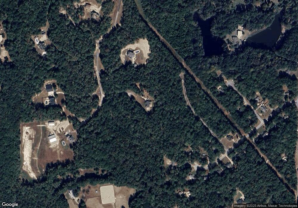
Map
Nearby Homes
- 46 Lullwater Ct
- 565 Timberbrook Dr
- 65 Oakhurst Trail
- 69 Oakhurst Trail
- 68 Winchester Dr
- 2812 Highway 16 E
- 316 Winchester Dr
- 2752 Poplar Rd
- 49 Durham Estates Dr
- 165 Durham Estates Dr
- 105 Turnberry Trace
- 108 Turnberry Trace
- 0 Cannon Rd Unit 7627017
- 0 Cannon Rd Unit 10566028
- 270 Sturgess Run
- 0 Poplar Rd Unit 10580891
- 138 Main St
- 465 Little Rd
- 140 Halo Trace
- 0 Highway 154 Unit 10470800
- 140 Turner Davis Rd
- 123 Lullwater Dr
- 127 Lullwater Dr
- 56 Lullwater Ct
- 109 Lullwater Dr
- 0 Turner Davis Dr Unit 3005707
- 95 Lullwater Dr
- 62 Lullwater Ct
- 200 Turner Davis Rd
- 120 Lullwater Dr
- 81 Lullwater Dr
- 34 Lullwater Ct
- 61 Lullwater Ct
- 165 Turner Davis Rd
- 110 Lullwater Dr
- 165 Turner Davis Dr
- 100 Lullwater Dr
- 0 Lullwater Ct
- 53 Lullwater Ct
- 92 Lullwater Dr