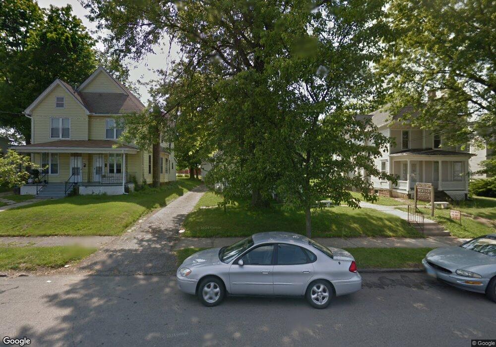
170 Vennum Ave Mansfield, OH 44903
Estimated Value: $39,956
4
Beds
2
Baths
2,546
Sq Ft
$16/Sq Ft
Est. Value
About This Home
This home is located at 170 Vennum Ave, Mansfield, OH 44903 and is currently estimated at $39,956, approximately $15 per square foot. 170 Vennum Ave is a home located in Richland County with nearby schools including St. Peter's Elementary/Montessori School, Discovery School, and St. Peter's Junior High / High School.
Ownership History
Date
Name
Owned For
Owner Type
Purchase Details
Closed on
Nov 3, 2016
Sold by
Creative Natural Stone Inc
Bought by
Taylor Brook and Taylor Marjoe
Current Estimated Value
Purchase Details
Closed on
Oct 3, 1995
Sold by
Demyaw Mary E
Bought by
Creative Natural Stone Inc
Home Financials for this Owner
Home Financials are based on the most recent Mortgage that was taken out on this home.
Original Mortgage
$100,000
Interest Rate
8%
Mortgage Type
Commercial
Create a Home Valuation Report for This Property
The Home Valuation Report is an in-depth analysis detailing your home's value as well as a comparison with similar homes in the area
Home Values in the Area
Average Home Value in this Area
Purchase History
| Date | Buyer | Sale Price | Title Company |
|---|---|---|---|
| Taylor Brook | $20,000 | Southern Title | |
| Creative Natural Stone Inc | $135,000 | -- |
Source: Public Records
Mortgage History
| Date | Status | Borrower | Loan Amount |
|---|---|---|---|
| Previous Owner | Creative Natural Stone Inc | $100,000 |
Source: Public Records
Tax History
| Year | Tax Paid | Tax Assessment Tax Assessment Total Assessment is a certain percentage of the fair market value that is determined by local assessors to be the total taxable value of land and additions on the property. | Land | Improvement |
|---|---|---|---|---|
| 2024 | $2,440 | $34,240 | $4,900 | $29,340 |
| 2023 | $2,433 | $34,240 | $4,900 | $29,340 |
| 2022 | $320 | $3,980 | $440 | $3,540 |
| 2021 | $321 | $3,980 | $440 | $3,540 |
| 2020 | $326 | $3,980 | $440 | $3,540 |
| 2019 | $341 | $3,980 | $440 | $3,540 |
| 2018 | $340 | $3,980 | $440 | $3,540 |
| 2017 | $1,416 | $30,040 | $4,450 | $25,590 |
| 2016 | $2,293 | $26,910 | $4,450 | $22,460 |
| 2015 | $2,293 | $26,910 | $4,450 | $22,460 |
| 2014 | $2,179 | $26,910 | $4,450 | $22,460 |
| 2012 | $1,509 | $45,120 | $4,450 | $40,670 |
Source: Public Records
Map
Nearby Homes
- 158 Vennum Ave
- 183 Carpenter Rd
- 51 Lind Ave
- 135 Wood St
- 30 Douglas Ave
- 31 Bartley Ave
- 126 Dawson Ave
- 71 Dawson Ave
- 455 Marion Ave
- 133 Stewart Ave S
- 189 Westwood Ave
- 116 Stewart Ave S
- 108 Stewart Ave S
- 131 Sturges Ave
- 24 Stewart Ave S
- 458 W West Dickson Ave
- 31 Parkwood Blvd
- 120 Distl Ave
- 10 Gray Ct
- 172 Crouse St
- 160 Vennum Ave
- 166 Vennum Ave
- 174 Vennum Ave Unit 176
- 182 Vennum Ave
- 167 Poplar St
- 171 Poplar St
- 155 Poplar St
- 169 Vennum Ave
- 177 Poplar St
- 144 Vennum Ave
- 184 Vennum Ave
- 179 Poplar St
- 151 Poplar St
- 190 Vennum Ave
- 151 Vennum Ave
- 138 Vennum Ave
- 145 Poplar St
- 194 Vennum Ave
- 394 Glessner Ave
- 408 Glessner Ave
Your Personal Tour Guide
Ask me questions while you tour the home.