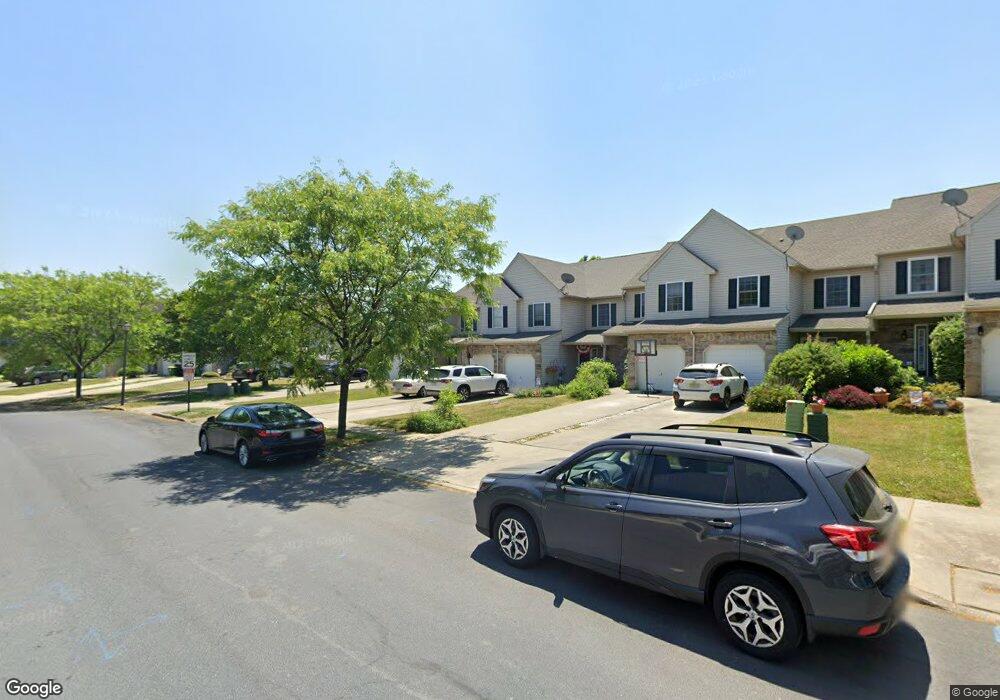
1700 Brookstone Dr Alburtis, PA 18011
Lower Macungie Township West NeighborhoodEstimated Value: $358,000 - $397,000
3
Beds
3
Baths
1,662
Sq Ft
$223/Sq Ft
Est. Value
About This Home
This home is located at 1700 Brookstone Dr, Alburtis, PA 18011 and is currently estimated at $369,913, approximately $222 per square foot. 1700 Brookstone Dr is a home located in Lehigh County with nearby schools including Alburtis Elementary School, Lower Macungie Middle School, and Emmaus High School.
Ownership History
Date
Name
Owned For
Owner Type
Purchase Details
Closed on
Dec 9, 2016
Sold by
Fernandez Edwin
Bought by
Fernandez Nyree
Current Estimated Value
Purchase Details
Closed on
Apr 25, 2003
Sold by
Breisch Charles F and Breisch Dolores R
Bought by
Fernandez Edwin and Fernandez Nyree
Home Financials for this Owner
Home Financials are based on the most recent Mortgage that was taken out on this home.
Original Mortgage
$130,865
Outstanding Balance
$55,764
Interest Rate
5.64%
Mortgage Type
FHA
Estimated Equity
$314,149
Create a Home Valuation Report for This Property
The Home Valuation Report is an in-depth analysis detailing your home's value as well as a comparison with similar homes in the area
Home Values in the Area
Average Home Value in this Area
Purchase History
| Date | Buyer | Sale Price | Title Company |
|---|---|---|---|
| Fernandez Nyree | -- | None Available | |
| Fernandez Edwin | $133,300 | Penntitle Inc |
Source: Public Records
Mortgage History
| Date | Status | Borrower | Loan Amount |
|---|---|---|---|
| Open | Fernandez Edwin | $130,865 |
Source: Public Records
Tax History Compared to Growth
Tax History
| Year | Tax Paid | Tax Assessment Tax Assessment Total Assessment is a certain percentage of the fair market value that is determined by local assessors to be the total taxable value of land and additions on the property. | Land | Improvement |
|---|---|---|---|---|
| 2025 | $4,264 | $167,000 | $10,900 | $156,100 |
| 2024 | $4,125 | $167,000 | $10,900 | $156,100 |
| 2023 | $4,043 | $167,000 | $10,900 | $156,100 |
| 2022 | $3,947 | $167,000 | $156,100 | $10,900 |
| 2021 | $3,863 | $167,000 | $10,900 | $156,100 |
| 2020 | $3,826 | $167,000 | $10,900 | $156,100 |
| 2019 | $3,761 | $167,000 | $10,900 | $156,100 |
| 2018 | $3,712 | $167,000 | $10,900 | $156,100 |
| 2017 | $3,647 | $167,000 | $10,900 | $156,100 |
| 2016 | -- | $167,000 | $10,900 | $156,100 |
| 2015 | -- | $167,000 | $10,900 | $156,100 |
| 2014 | -- | $167,000 | $10,900 | $156,100 |
Source: Public Records
Map
Nearby Homes
- 1716 Brookstone Dr
- 8051 Heritage Dr
- 8012 Century Blvd
- 8312 Mertztown Rd
- 8215 Alexander Ct
- 8213 Alexander Ct
- 1565 Dresden Dr
- 1559 Dresden Dr
- 1553 Dresden Dr
- 1562 Dresden Dr
- 1538 Dresden Dr
- 1534 Dresden Dr
- 1530 Dresden Dr
- 1518 Dresden Dr
- 1506 Dresden Dr
- LAFAYETTE Plan at Trexler Pointe
- 8345 Alexander Ct
- 7945 Golden Ln
- 7699 Catalpa Dr
- 7687 Catalpa Dr
- 1698 Brookstone Dr
- 1702 Brookstone Dr
- 1696 Brookstone Dr
- 1694 Brookstone Dr
- 1692 Brookstone Dr
- 1690 Brookstone Dr
- 1706 Brookstone Dr
- 1708 Brookstone Dr
- 1688 Brookstone Dr
- 1710 Brookstone Dr
- 1709 Pinewind Dr
- 1711 Pinewind Dr
- 1705 Pinewind Dr
- 1715 Pinewind Dr
- 1707 Pinewind Dr
- 1703 Pinewind Dr
- 1712 Brookstone Dr
- 1701 Pinewind Dr
- 1699 Pinewind Dr
- 1717 Pinewind Dr