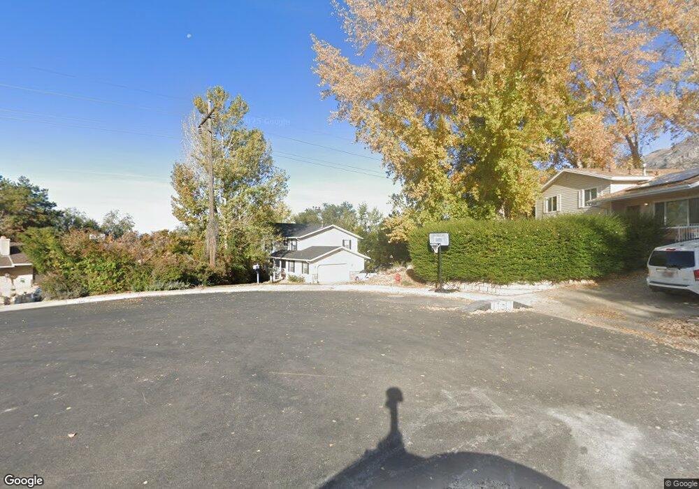
1700 E Blackhawk Cir Pleasant Grove, UT 84062
Estimated Value: $654,000 - $700,000
4
Beds
3
Baths
3,777
Sq Ft
$180/Sq Ft
Est. Value
About This Home
This home is located at 1700 E Blackhawk Cir, Pleasant Grove, UT 84062 and is currently estimated at $680,625, approximately $180 per square foot. 1700 E Blackhawk Cir is a home located in Utah County with nearby schools including Valley View Elementary, Central Elementary School, and Oak Canyon Junior High School.
Ownership History
Date
Name
Owned For
Owner Type
Purchase Details
Closed on
Jun 18, 2009
Sold by
Eyre Preston Lamar and Eyre Sharron Anne
Bought by
Stanley Benjamin and Stanley Rebekah
Current Estimated Value
Purchase Details
Closed on
Jul 6, 2000
Sold by
Arrell Kelly Schock and Schock Kelly
Bought by
Eyre Preston Lamar and Eyre Sharron Anne
Home Financials for this Owner
Home Financials are based on the most recent Mortgage that was taken out on this home.
Original Mortgage
$117,000
Interest Rate
8.63%
Purchase Details
Closed on
Mar 25, 1997
Sold by
Tabler James L and Decker Daniel R
Bought by
Schock Kelly
Home Financials for this Owner
Home Financials are based on the most recent Mortgage that was taken out on this home.
Original Mortgage
$186,200
Interest Rate
7.63%
Create a Home Valuation Report for This Property
The Home Valuation Report is an in-depth analysis detailing your home's value as well as a comparison with similar homes in the area
Home Values in the Area
Average Home Value in this Area
Purchase History
| Date | Buyer | Sale Price | Title Company |
|---|---|---|---|
| Stanley Benjamin | -- | Capitol Title | |
| Eyre Preston Lamar | -- | Mountain West Title Co | |
| Schock Kelly | -- | -- |
Source: Public Records
Mortgage History
| Date | Status | Borrower | Loan Amount |
|---|---|---|---|
| Previous Owner | Eyre Preston Lamar | $117,000 | |
| Previous Owner | Schock Kelly | $186,200 |
Source: Public Records
Tax History Compared to Growth
Tax History
| Year | Tax Paid | Tax Assessment Tax Assessment Total Assessment is a certain percentage of the fair market value that is determined by local assessors to be the total taxable value of land and additions on the property. | Land | Improvement |
|---|---|---|---|---|
| 2025 | $2,847 | $367,015 | $243,400 | $423,900 |
| 2024 | $2,847 | $339,845 | $0 | $0 |
| 2023 | $2,821 | $344,685 | $0 | $0 |
| 2022 | $2,672 | $324,830 | $0 | $0 |
| 2021 | $2,358 | $436,500 | $152,800 | $283,700 |
| 2020 | $2,160 | $392,000 | $136,400 | $255,600 |
| 2019 | $2,004 | $376,000 | $120,400 | $255,600 |
| 2018 | $2,045 | $362,800 | $112,400 | $250,400 |
| 2017 | $1,851 | $174,900 | $0 | $0 |
| 2016 | $1,833 | $167,200 | $0 | $0 |
| 2015 | $1,842 | $159,060 | $0 | $0 |
| 2014 | $1,657 | $141,735 | $0 | $0 |
Source: Public Records
Map
Nearby Homes
- 521 S 1660 E
- 650 S 1600 E
- 897 Cherokee Dr
- 1515 E 720 S
- 745 S 1500 St E
- 935 S 1500 E
- 10 S 1400 E
- 1172 E Murdock Dr
- 177 S 1150 E
- 286 S 1150 E
- Prelude Plan at Blossom Hill
- Treble Plan at Blossom Hill
- Browning Plan at Blossom Hill
- Cantata Plan at Blossom Hill
- 176 S 1150 E
- Accord Plan at Blossom Hill
- Canon Plan at Blossom Hill
- Trio Plan at Blossom Hill
- Harrison Plan at Blossom Hill
- Adagio Plan at Blossom Hill
- 1700 E Blackhawk Cir
- 1698 Blackhawk Cir
- 1688 E 480 S
- 1684 E 480 S
- 1674 E 480 S
- 1702 E Blackhawk Cir
- 1702 Blackhawk Cir
- 1694 E 480 S
- 1696 Blackhawk Cir
- 595 S 1660 E
- 1675 Blackhawk Dr
- 1675 E Blackhawk Dr
- 507 S 1660 E
- 1696 E Blackhawk Cir
- 1704 E Blackhawk Cir
- 500 S Valley Dr
- 1704 Blackhawk Cir
- 1685 E Blackhawk Dr
- 1685 Blackhawk Dr
- 1685 Blackhawk Dr Unit 4