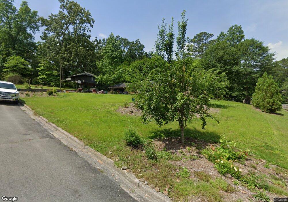
1700 Elaine Way Dalton, GA 30720
Estimated Value: $263,015 - $352,000
3
Beds
2
Baths
2,088
Sq Ft
$151/Sq Ft
Est. Value
About This Home
This home is located at 1700 Elaine Way, Dalton, GA 30720 and is currently estimated at $314,754, approximately $150 per square foot. 1700 Elaine Way is a home located in Whitfield County with nearby schools including Brookwood Elementary School, Dalton Middle School, and Dalton High School.
Ownership History
Date
Name
Owned For
Owner Type
Purchase Details
Closed on
Jul 13, 2007
Sold by
Townsend Patrick J
Bought by
Moncus Jerry W
Current Estimated Value
Home Financials for this Owner
Home Financials are based on the most recent Mortgage that was taken out on this home.
Original Mortgage
$148,000
Outstanding Balance
$93,515
Interest Rate
6.71%
Mortgage Type
New Conventional
Estimated Equity
$221,239
Purchase Details
Closed on
Apr 1, 1992
Bought by
Townsend Patrick J and Townsend Teresa R
Create a Home Valuation Report for This Property
The Home Valuation Report is an in-depth analysis detailing your home's value as well as a comparison with similar homes in the area
Home Values in the Area
Average Home Value in this Area
Purchase History
| Date | Buyer | Sale Price | Title Company |
|---|---|---|---|
| Moncus Jerry W | $165,000 | -- | |
| Townsend Patrick J | -- | -- |
Source: Public Records
Mortgage History
| Date | Status | Borrower | Loan Amount |
|---|---|---|---|
| Open | Moncus Jerry W | $148,000 |
Source: Public Records
Tax History Compared to Growth
Tax History
| Year | Tax Paid | Tax Assessment Tax Assessment Total Assessment is a certain percentage of the fair market value that is determined by local assessors to be the total taxable value of land and additions on the property. | Land | Improvement |
|---|---|---|---|---|
| 2024 | $2,714 | $101,254 | $16,000 | $85,254 |
| 2023 | $2,714 | $79,461 | $16,000 | $63,461 |
| 2022 | $2,124 | $69,068 | $14,030 | $55,038 |
| 2021 | $2,128 | $69,068 | $14,030 | $55,038 |
| 2020 | $1,877 | $60,086 | $12,200 | $47,886 |
| 2019 | $1,931 | $60,086 | $12,200 | $47,886 |
| 2018 | $1,954 | $60,086 | $12,200 | $47,886 |
| 2017 | $1,875 | $60,086 | $12,200 | $47,886 |
| 2016 | $1,666 | $54,070 | $10,500 | $43,570 |
| 2014 | $1,556 | $54,070 | $10,500 | $43,570 |
| 2013 | -- | $54,070 | $10,500 | $43,570 |
Source: Public Records
Map
Nearby Homes
- 1504 Belmont Dr
- 1632 Rio Vista Dr
- 115& 134 Independence Way
- 1230 Valencia Dr
- 1608 Ryman Ridge Rd
- 1704 Southmont Dr
- 00 Rio Vista Dr
- 1731 Ball Ave
- 1209 W Lakeshore Dr
- 1105 Desota Dr
- 1230 W Lakeshore Dr W
- 0 Horizon Ct Unit 130497
- 0 Horizon Ct Unit 130499
- 0 Horizon Ct Unit 130479
- 0 Horizon Ct Unit 130477
- 0 Horizon Ct Unit 130478
- 0 Horizon Ct Unit 130496
- 0 Horizon Ct Unit 130498
- 1117 Lakemont Dr
- 1709 Dug Gap Rd
- 1313 Dana Dr
- 1310 Dana Dr
- 1602 Elaine Way
- 1705 Elaine Way
- 1603 Elaine Way
- 1704 Elaine Way
- 1605 Rio Vista Dr
- 1311 Dana Dr
- 1600 Elaine Way
- 1603 Rio Vista Dr
- 1403 Swann Dr
- 1308 Dana Dr
- 1405 Swann Dr
- 1609 Rio Vista Dr
- 1303 Swann Dr
- 0 Rio Vista Dr Unit 1353529
- 0 Rio Vista Dr Unit 125755
- 0 Rio Vista Dr Unit 123575
- 0 Rio Vista Dr Unit 122505
- 0 Rio Vista Dr Unit 120639