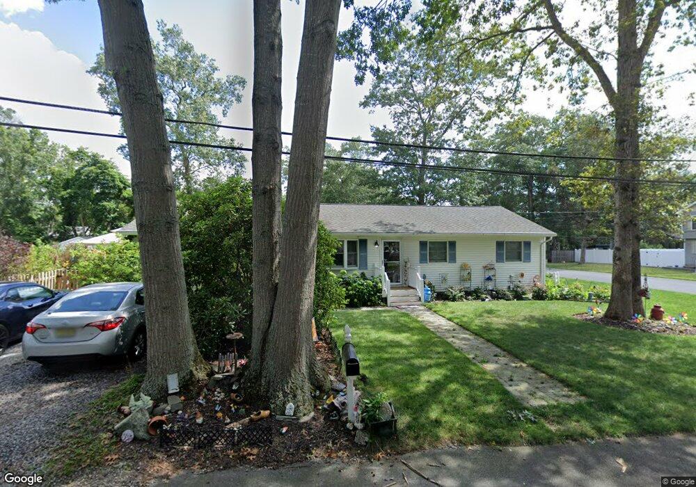
1700 Evans Rd Forked River, NJ 08731
Estimated Value: $406,616 - $450,000
3
Beds
2
Baths
1,464
Sq Ft
$297/Sq Ft
Est. Value
About This Home
This home is located at 1700 Evans Rd, Forked River, NJ 08731 and is currently estimated at $434,154, approximately $296 per square foot. 1700 Evans Rd is a home located in Ocean County with nearby schools including Lacey Township High School.
Ownership History
Date
Name
Owned For
Owner Type
Purchase Details
Closed on
Feb 6, 2003
Current Estimated Value
Purchase Details
Closed on
Sep 25, 1996
Sold by
Federal Home Loan Mortgage Corporation
Bought by
Aumack Kristine G
Home Financials for this Owner
Home Financials are based on the most recent Mortgage that was taken out on this home.
Original Mortgage
$70,000
Interest Rate
7.9%
Create a Home Valuation Report for This Property
The Home Valuation Report is an in-depth analysis detailing your home's value as well as a comparison with similar homes in the area
Home Values in the Area
Average Home Value in this Area
Purchase History
| Date | Buyer | Sale Price | Title Company |
|---|---|---|---|
| -- | -- | -- | |
| Aumack Kristine G | $73,900 | -- |
Source: Public Records
Mortgage History
| Date | Status | Borrower | Loan Amount |
|---|---|---|---|
| Previous Owner | Aumack Kristine G | $70,000 |
Source: Public Records
Tax History
| Year | Tax Paid | Tax Assessment Tax Assessment Total Assessment is a certain percentage of the fair market value that is determined by local assessors to be the total taxable value of land and additions on the property. | Land | Improvement |
|---|---|---|---|---|
| 2025 | $4,989 | $196,900 | $85,500 | $111,400 |
| 2024 | $4,665 | $196,900 | $85,500 | $111,400 |
| 2023 | $4,456 | $196,900 | $85,500 | $111,400 |
| 2022 | $4,456 | $196,900 | $85,500 | $111,400 |
| 2021 | $4,381 | $196,900 | $85,500 | $111,400 |
| 2020 | $4,241 | $196,900 | $85,500 | $111,400 |
| 2019 | $4,166 | $196,900 | $85,500 | $111,400 |
| 2018 | $4,117 | $196,900 | $85,500 | $111,400 |
| 2017 | $4,023 | $196,900 | $85,500 | $111,400 |
| 2016 | $4,007 | $196,900 | $85,500 | $111,400 |
| 2015 | $3,828 | $196,900 | $85,500 | $111,400 |
| 2014 | $4,154 | $241,500 | $125,500 | $116,000 |
Source: Public Records
Map
Nearby Homes
- 1660 Joffre Rd
- 0000 Earie Way
- 1440 Leguene Ave
- 1988 Brookdale Dr
- 576 Vaughn Ave
- 1326 Leguene Ave
- 1972 Glen Oak Dr
- 4 Kent Ct
- 000 Elwood St
- 321 Letts Ave
- 38 Sheffield Dr
- 882 Harrison Ave
- 0 Lakeside Dr S Unit 22601319
- 304 Shepard Ave
- 1223 Sylvania Place
- 1030 Elwood St
- 636 Chelsea St
- 653 Elwood St
- 650 Chelsea St
- 923 Tappan St
- 0 Evans Rd
- 1640 Woodland Rd
- 1642 Woodland Rd
- 1643 Woodland Rd
- 1636 Woodland Rd
- 1706 Evans Rd
- 1623 Evans Rd
- 1703 Whitcomb Rd
- 1705 Evans Rd
- 1623 Whitcomb Rd
- 1649 Woodland Rd
- 1707 Evans Rd
- 1653 Woodland Rd
- 1619 Whitcomb Rd
- 1702 Sommerell Ave
- 1700 Sommerell Ave
- 1706 Sommerell Ave
- 1710 Evans Rd
- 1709 Evans Rd
- 1634 Woodland Rd
Your Personal Tour Guide
Ask me questions while you tour the home.