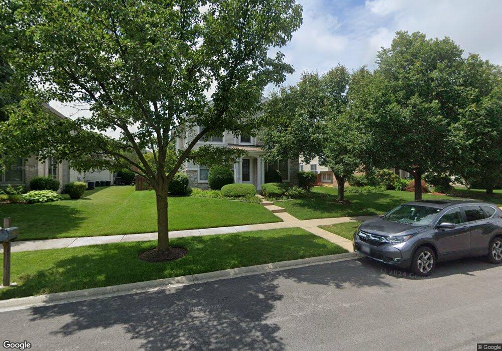
1700 Fielding Dr Glenview, IL 60026
The Glen NeighborhoodEstimated Value: $1,260,649 - $1,386,000
4
Beds
3
Baths
3,143
Sq Ft
$415/Sq Ft
Est. Value
About This Home
This home is located at 1700 Fielding Dr, Glenview, IL 60026 and is currently estimated at $1,304,912, approximately $415 per square foot. 1700 Fielding Dr is a home located in Cook County with nearby schools including Westbrook Elementary School, Glen Grove Elementary School, and Attea Middle School.
Ownership History
Date
Name
Owned For
Owner Type
Purchase Details
Closed on
Jun 1, 2001
Sold by
Concord At The Glen Llc
Bought by
Wojcik Robert E and Stojanovic Ljiljana
Current Estimated Value
Home Financials for this Owner
Home Financials are based on the most recent Mortgage that was taken out on this home.
Original Mortgage
$175,000
Outstanding Balance
$66,856
Interest Rate
7.18%
Estimated Equity
$1,238,056
Create a Home Valuation Report for This Property
The Home Valuation Report is an in-depth analysis detailing your home's value as well as a comparison with similar homes in the area
Home Values in the Area
Average Home Value in this Area
Purchase History
| Date | Buyer | Sale Price | Title Company |
|---|---|---|---|
| Wojcik Robert E | $579,000 | Chicago Title Insurance Co |
Source: Public Records
Mortgage History
| Date | Status | Borrower | Loan Amount |
|---|---|---|---|
| Open | Wojcik Robert E | $175,000 |
Source: Public Records
Tax History Compared to Growth
Tax History
| Year | Tax Paid | Tax Assessment Tax Assessment Total Assessment is a certain percentage of the fair market value that is determined by local assessors to be the total taxable value of land and additions on the property. | Land | Improvement |
|---|---|---|---|---|
| 2024 | $18,080 | $85,000 | $19,670 | $65,330 |
| 2023 | $17,548 | $85,000 | $19,670 | $65,330 |
| 2022 | $17,548 | $85,000 | $19,670 | $65,330 |
| 2021 | $18,820 | $78,943 | $9,441 | $69,502 |
| 2020 | $18,653 | $78,943 | $9,441 | $69,502 |
| 2019 | $17,379 | $86,751 | $9,441 | $77,310 |
| 2018 | $17,912 | $81,319 | $8,261 | $73,058 |
| 2017 | $17,449 | $81,319 | $8,261 | $73,058 |
| 2016 | $16,673 | $81,319 | $8,261 | $73,058 |
| 2015 | $15,688 | $68,501 | $6,687 | $61,814 |
| 2014 | $15,413 | $68,501 | $6,687 | $61,814 |
| 2013 | $14,930 | $68,501 | $6,687 | $61,814 |
Source: Public Records
Map
Nearby Homes
- 2000 Chestnut Ave Unit 103
- 2156 Rugen Rd Unit A
- 1900 E Lake Ave
- 1619 Patriot Blvd
- 1735 Patriot Blvd
- 1847 Tanglewood Dr Unit 3B
- 1847 Tanglewood Dr Unit 2B
- 1855 Tanglewood Dr Unit F
- 1341 Greenwillow Ln Unit C
- 1342 Pine St
- 2701 Commons Dr Unit 210
- 1891 Admiral Ct Unit 79
- 1429 Pebblecreek Dr Unit 171
- 1867 Admiral Ct Unit 91
- 2121 Fir St
- 1508 Pebblecreek Dr Unit 14
- 1712 Fielding Dr
- 1698 Fielding Dr
- 1678 Fielding Dr
- 1724 Fielding Dr
- 1701 Bluestem Ln
- 1709 Bluestem Ln
- 1676 Fielding Dr
- 1736 Fielding Dr
- 1719 Bluestem Ln
- 1683 Bluestem Ln
- 1731 Bluestem Ln
- 1666 Fielding Dr
- 1748 Fielding Dr
- 1741 Bluestem Ln
- 1667 Bluestem Ln
- 1749 Bluestem Ln Unit 1
- 2100 Thistle Rd
- 2132 Thistle Rd
- 1712 Bluestem Ln Unit 1
- 1700 Bluestem Ln Unit 1