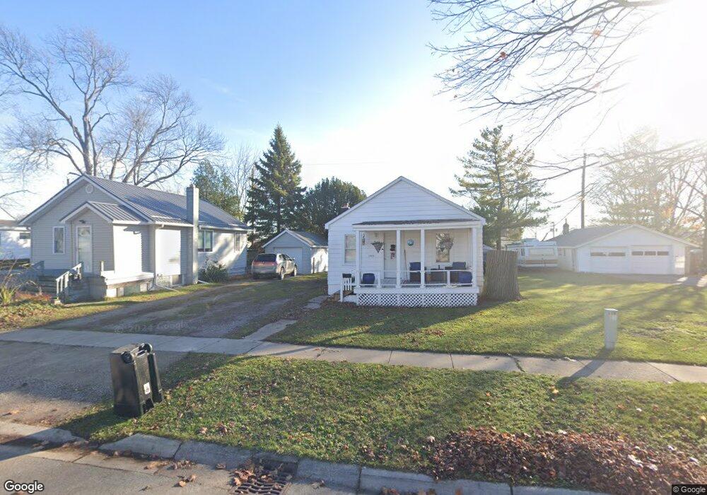
1700 McBrady St Port Huron, MI 48060
Estimated Value: $63,000 - $198,000
--
Bed
--
Bath
--
Sq Ft
4,225
Sq Ft Lot
About This Home
This home is located at 1700 McBrady St, Port Huron, MI 48060 and is currently estimated at $150,667. 1700 McBrady St is a home located in St. Clair County with nearby schools including H.D. Crull Elementary School, Holland Woods Middle School, and Port Huron Northern High School.
Ownership History
Date
Name
Owned For
Owner Type
Purchase Details
Closed on
Oct 23, 2024
Sold by
Pickering Russell R and Pickering Krystal M
Bought by
Young James A and Fuller Lynn M
Current Estimated Value
Home Financials for this Owner
Home Financials are based on the most recent Mortgage that was taken out on this home.
Original Mortgage
$184,050
Outstanding Balance
$182,014
Interest Rate
6.08%
Mortgage Type
New Conventional
Estimated Equity
-$31,347
Purchase Details
Closed on
Aug 4, 2017
Sold by
Kutz Dennis J and Kutz Lori K
Bought by
Pickering Russell R and Pickering Krystal
Purchase Details
Closed on
Feb 10, 2017
Sold by
Hastings Connie K
Bought by
Hastings Diana and Hastings Connie K
Purchase Details
Closed on
Oct 31, 2016
Sold by
Hastings Diana and Hastings Connie K
Bought by
Hastings Connie K
Create a Home Valuation Report for This Property
The Home Valuation Report is an in-depth analysis detailing your home's value as well as a comparison with similar homes in the area
Home Values in the Area
Average Home Value in this Area
Purchase History
| Date | Buyer | Sale Price | Title Company |
|---|---|---|---|
| Young James A | $194,000 | None Listed On Document | |
| Young James A | $194,000 | None Listed On Document | |
| Pickering Russell R | $50,000 | None Available | |
| Hastings Diana | -- | None Available | |
| Hastings Connie K | -- | None Available |
Source: Public Records
Mortgage History
| Date | Status | Borrower | Loan Amount |
|---|---|---|---|
| Open | Young James A | $184,050 | |
| Closed | Young James A | $184,050 |
Source: Public Records
Tax History Compared to Growth
Tax History
| Year | Tax Paid | Tax Assessment Tax Assessment Total Assessment is a certain percentage of the fair market value that is determined by local assessors to be the total taxable value of land and additions on the property. | Land | Improvement |
|---|---|---|---|---|
| 2025 | $219 | $5,400 | $0 | $0 |
| 2024 | $205 | $4,800 | $0 | $0 |
| 2023 | $194 | $4,800 | $0 | $0 |
| 2022 | $207 | $4,300 | $0 | $0 |
| 2021 | $198 | $3,200 | $0 | $0 |
| 2020 | $202 | $3,200 | $3,200 | $0 |
| 2019 | $271 | $4,800 | $0 | $0 |
| 2018 | $303 | $4,800 | $0 | $0 |
| 2017 | $92 | $5,200 | $0 | $0 |
| 2016 | $83 | $5,200 | $0 | $0 |
| 2015 | $82 | $3,600 | $3,600 | $0 |
| 2014 | $82 | $3,600 | $3,600 | $0 |
| 2013 | -- | $4,100 | $0 | $0 |
Source: Public Records
Map
Nearby Homes
- 1649 Whipple St
- 1733 Whipple St
- 1620 McBrady St
- 1819 Riverside Dr
- 1907 Riverside Dr
- 1433 Poplar St
- 0000 Campau Ave
- 1417 Kearney St
- 29 Taylor St
- 1819 Kern St
- 1321 Nelson St
- 1825 Kern St
- 2400 Stone St Unit 2414
- 2215 Hancock St
- 146 Taylor St
- 00 Campau Ave
- 917 Saint Clair St
- 2838 Elmwood St
- 1116 Hancock St
- 1002 Erie St
- 1662 McBrady St
- 1656 McBrady St
- 1672 McBrady St
- 1674 McBrady St
- 1650 McBrady St
- 1655 Whipple St
- 1676 McBrady St
- 1657 Whipple St
- 1701 Whipple St
- 1661 McBrady St
- 1657 McBrady St
- 1671 McBrady St
- 1648 McBrady St
- 1667 Whipple St
- 1653 McBrady St
- 1678 McBrady St
- 1673 McBrady St
- 1644 McBrady St
- 1645 Whipple St
- 1707 Whipple St