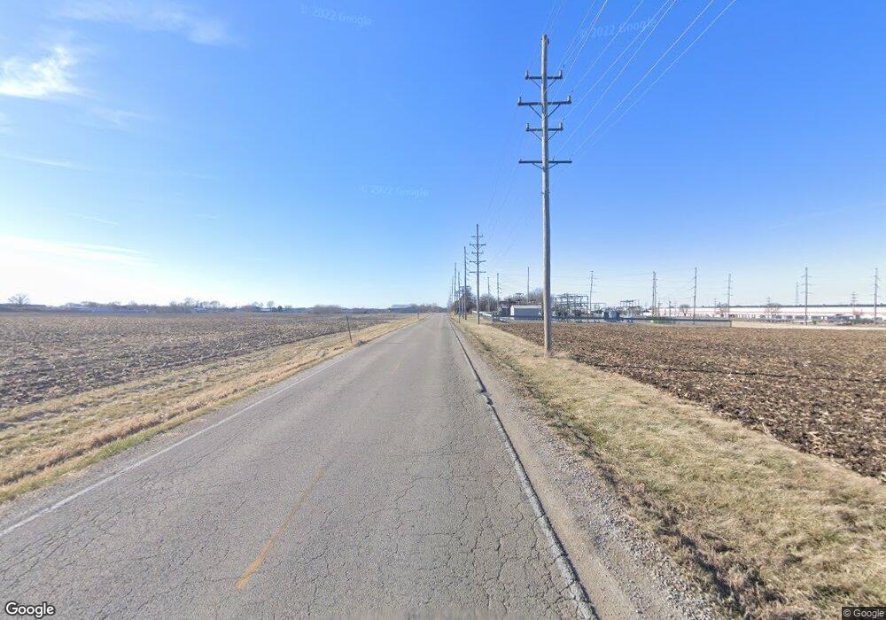
1700 North Ave Princeton, IL 61356
--
Bed
--
Bath
--
Sq Ft
36
Acres
About This Home
This home is located at 1700 North Ave, Princeton, IL 61356. 1700 North Ave is a home located in Bureau County with nearby schools including Jefferson Elementary School, Lincoln Elementary School, and Logan Junior High School.
Ownership History
Date
Name
Owned For
Owner Type
Purchase Details
Closed on
Apr 1, 2024
Sold by
Rybski Paul M and Rybski Rita L
Bought by
Williams John
Home Financials for this Owner
Home Financials are based on the most recent Mortgage that was taken out on this home.
Original Mortgage
$200,000
Outstanding Balance
$149,548
Interest Rate
6.29%
Mortgage Type
New Conventional
Purchase Details
Closed on
Mar 23, 2005
Sold by
Ertas Helga
Bought by
Rybski Paul M and Rybski Rita L
Create a Home Valuation Report for This Property
The Home Valuation Report is an in-depth analysis detailing your home's value as well as a comparison with similar homes in the area
Home Values in the Area
Average Home Value in this Area
Purchase History
| Date | Buyer | Sale Price | Title Company |
|---|---|---|---|
| Williams John | $270,000 | None Listed On Document | |
| Rybski Paul M | $130,000 | None Available |
Source: Public Records
Mortgage History
| Date | Status | Borrower | Loan Amount |
|---|---|---|---|
| Open | Williams John | $200,000 |
Source: Public Records
Tax History Compared to Growth
Tax History
| Year | Tax Paid | Tax Assessment Tax Assessment Total Assessment is a certain percentage of the fair market value that is determined by local assessors to be the total taxable value of land and additions on the property. | Land | Improvement |
|---|---|---|---|---|
| 2024 | $349 | $4,794 | $4,794 | $0 |
| 2023 | $349 | $4,466 | $4,466 | $0 |
| 2022 | $1,407 | $17,830 | $17,830 | $0 |
| 2021 | $1,354 | $16,454 | $16,454 | $0 |
| 2020 | $1,013 | $12,250 | $3,839 | $8,411 |
| 2019 | $1,013 | $11,868 | $3,614 | $8,254 |
| 2018 | $955 | $11,175 | $3,330 | $7,845 |
| 2017 | $962 | $10,815 | $3,146 | $7,669 |
| 2016 | $929 | $10,376 | $2,951 | $7,425 |
| 2015 | -- | $7,441 | $286 | $7,155 |
| 2014 | -- | $9,840 | $2,685 | $7,155 |
| 2013 | -- | $10,048 | $2,717 | $7,331 |
Source: Public Records
Map
Nearby Homes
- Lot 6 Ace Rd
- 725 Independence Dr
- 8 & 9 Century Dr
- 8&9 W Century Dr
- 00 N Main St
- 319 N Chestnut St
- 405 N Church St
- 507 S 9th St
- 120 W Marquette St
- 506 N Pleasant St
- 443 E Peru St
- 311 W Franklin St
- 20 S Church St
- 525 E Marion St
- 15 S Vernon St
- 625 S 5th Avenue Dr
- 215 N Randolph St
- 810 W Railroad Ave
- 310 S Pleasant St
- 815 W Hudson St
- 21725 1700 North Ave
- 21866 Us Highway 34
- 1310 Il Highway 26
- 26547 1315 North Ave
- 21943 Us Highway 34
- 00 Martenson Ln
- 01 Justice Dr
- 0 Justice Dr Unit 10057686
- 22206 2040e St
- 00 Route 26 Hwy
- #8, #9 W Century Dr
- 0 Plow Creek Rd Unit 1120123
- 0 Plow Creek Rd Unit 1120119
- 0 Plow Creek Rd Unit 1137961
- 0 Plow Creek Rd Unit 1137951
- 0 Claude Bailey Unit 18 7034215
- 0 Claude Bailey Unit 17 7034214
- 0 Claude Bailey Unit 16 7034213
- 0 Claude Bailey Unit 15 7034212
- 0 Claude Bailey Unit 14 7034211
