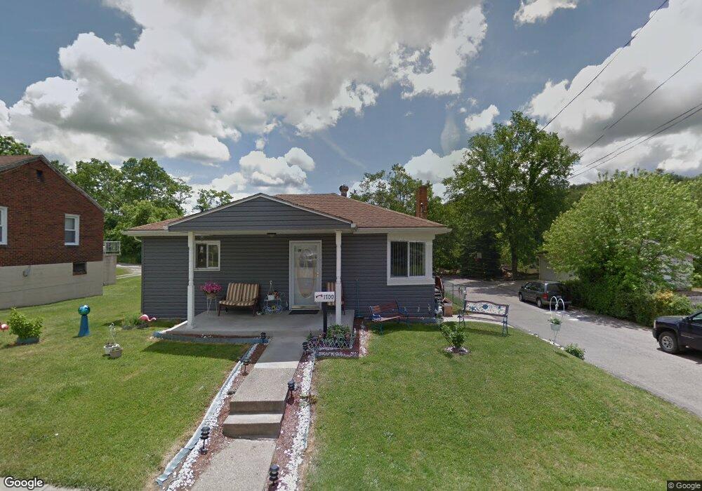
1700 Port Vue Ave McKeesport, PA 15133
Estimated Value: $108,000 - $139,000
2
Beds
1
Bath
1,143
Sq Ft
$112/Sq Ft
Est. Value
About This Home
This home is located at 1700 Port Vue Ave, McKeesport, PA 15133 and is currently estimated at $128,229, approximately $112 per square foot. 1700 Port Vue Ave is a home located in Allegheny County with nearby schools including South Allegheny Elementary School, South Allegheny High School, and Young Scholars of Greater Allegheny Charter School.
Ownership History
Date
Name
Owned For
Owner Type
Purchase Details
Closed on
Mar 19, 2007
Sold by
Citifinancial Scrs Llc
Bought by
Ewing James
Current Estimated Value
Home Financials for this Owner
Home Financials are based on the most recent Mortgage that was taken out on this home.
Original Mortgage
$45,600
Interest Rate
6.21%
Mortgage Type
New Conventional
Purchase Details
Closed on
May 16, 2003
Sold by
Ruffing John A and Ruffing Kimberly A
Bought by
Ruffing John A
Create a Home Valuation Report for This Property
The Home Valuation Report is an in-depth analysis detailing your home's value as well as a comparison with similar homes in the area
Home Values in the Area
Average Home Value in this Area
Purchase History
| Date | Buyer | Sale Price | Title Company |
|---|---|---|---|
| Ewing James | $35,900 | -- | |
| Ruffing John A | -- | -- |
Source: Public Records
Mortgage History
| Date | Status | Borrower | Loan Amount |
|---|---|---|---|
| Previous Owner | Ewing James | $45,600 |
Source: Public Records
Tax History Compared to Growth
Tax History
| Year | Tax Paid | Tax Assessment Tax Assessment Total Assessment is a certain percentage of the fair market value that is determined by local assessors to be the total taxable value of land and additions on the property. | Land | Improvement |
|---|---|---|---|---|
| 2025 | $2,622 | $68,800 | $12,200 | $56,600 |
| 2024 | $2,622 | $68,800 | $12,200 | $56,600 |
| 2023 | $2,520 | $68,800 | $12,200 | $56,600 |
| 2022 | $2,360 | $68,800 | $12,200 | $56,600 |
| 2021 | $2,297 | $68,800 | $12,200 | $56,600 |
| 2020 | $2,245 | $68,800 | $12,200 | $56,600 |
| 2019 | $2,132 | $68,800 | $12,200 | $56,600 |
| 2018 | $325 | $68,800 | $12,200 | $56,600 |
| 2017 | $2,021 | $68,800 | $12,200 | $56,600 |
| 2016 | $325 | $68,800 | $12,200 | $56,600 |
| 2015 | $325 | $68,800 | $12,200 | $56,600 |
| 2014 | $2,021 | $68,800 | $12,200 | $56,600 |
Source: Public Records
Map
Nearby Homes
- 1817 Gray St
- 112 June Dr
- 320 Dersam St
- 813 Lauck Ave
- 335-345 Dersam St
- 1317 New York Ave
- 603 Hays St
- 1120 Portsmouth Dr
- 1332 Beverly Rd
- 112 Kollar Dr
- 0 Washington Blvd
- 1220 Romine Ave
- 2908 Woodrow St
- 1310 Beverly Rd
- 2834 Washington Blvd
- 1419 Washington Blvd
- 1009 Oakland Ave
- 2302 Walnut St
- 607-609 1/2 Allegheny Ave
- 622 Summit Ave
- 1704 Port Vue Ave
- 900 Pride St
- 1708 Port Vue Ave
- 1703 Port Vue Ave
- 1709 Port Vue Ave
- 1712 Port Vue Ave
- 1713 Port Vue Ave
- 1710 Stegman Ave
- 1802 Port Vue Ave
- 1801 Port Vue Ave
- 1704 Stegman Ave
- 1805 Port Vue Ave
- 1800 Stegman Ave
- 1810 Port Vue Ave
- 1804 Stegman Ave
- 1809 Port Vue Ave
- 728 Smith St
- 1810 Stegman Ave
- 1812 Port Vue Ave
- 1812 Stegman Ave