Estimated Value: $223,000 - $282,000
--
Bed
--
Bath
804
Sq Ft
$316/Sq Ft
Est. Value
About This Home
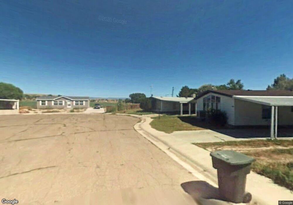
This home is located at 1700 S Highway 10, Price, UT 84501 and is currently estimated at $254,460, approximately $316 per square foot. 1700 S Highway 10 is a home located in Carbon County with nearby schools including Creekview School, Mont Harmon Junior High School, and Carbon High School.
Ownership History
Date
Name
Owned For
Owner Type
Purchase Details
Closed on
Sep 13, 2023
Sold by
Peck John Walter
Bought by
Reuling Benjamin and Farlaino April Alida
Current Estimated Value
Home Financials for this Owner
Home Financials are based on the most recent Mortgage that was taken out on this home.
Original Mortgage
$235,600
Outstanding Balance
$230,321
Interest Rate
6.9%
Mortgage Type
New Conventional
Estimated Equity
$24,139
Purchase Details
Closed on
Jun 28, 2022
Sold by
Nicole Sundles Melanie
Bought by
Peck John Walter
Purchase Details
Closed on
Aug 4, 2020
Sold by
Migliori Raymond and Migliori Kathryn
Bought by
Sundles Melanie Nicloe
Create a Home Valuation Report for This Property
The Home Valuation Report is an in-depth analysis detailing your home's value as well as a comparison with similar homes in the area
Home Values in the Area
Average Home Value in this Area
Purchase History
| Date | Buyer | Sale Price | Title Company |
|---|---|---|---|
| Reuling Benjamin | -- | Metro National Title | |
| Peck John Walter | -- | South Eastern Utah Title | |
| Sundles Melanie Nicloe | -- | None Available |
Source: Public Records
Mortgage History
| Date | Status | Borrower | Loan Amount |
|---|---|---|---|
| Open | Reuling Benjamin | $235,600 |
Source: Public Records
Tax History Compared to Growth
Tax History
| Year | Tax Paid | Tax Assessment Tax Assessment Total Assessment is a certain percentage of the fair market value that is determined by local assessors to be the total taxable value of land and additions on the property. | Land | Improvement |
|---|---|---|---|---|
| 2025 | $1,296 | $106,711 | $12,953 | $93,758 |
| 2024 | $1,528 | $127,198 | $12,375 | $114,823 |
| 2023 | $547 | $48,564 | $8,515 | $40,049 |
| 2022 | $565 | $45,039 | $7,080 | $37,959 |
| 2021 | $492 | $60,829 | $10,817 | $50,012 |
| 2020 | $485 | $30,071 | $0 | $0 |
| 2019 | $434 | $28,255 | $0 | $0 |
| 2018 | $526 | $34,880 | $0 | $0 |
| 2017 | $519 | $34,880 | $0 | $0 |
| 2016 | $468 | $34,880 | $0 | $0 |
| 2015 | $468 | $34,880 | $0 | $0 |
| 2014 | $465 | $34,880 | $0 | $0 |
| 2013 | $370 | $27,495 | $0 | $0 |
Source: Public Records
Map
Nearby Homes
- 145 W 2000 S
- 270 E Riverside Dr
- 1101 S Carbon Ave Unit 29
- 1101 S Carbon Ave Unit 75
- 1101 S Carbon Ave Unit 70
- 1101 S Carbon Ave Unit 24
- 1101 S Carbon Ave Unit 39
- 806 S 300 E
- 7700 Us Highway 6
- 675 W 2550 S Unit 12
- 2798 S Highway 10
- 495 S Fairgrounds Rd
- 280 W 500 S
- 80 W 500 S
- 410 Rose Ave
- 1345 W 1625 S
- 328 S Carbon Ave
- 276 E 3000 S
- 950 E 3000 S Unit 1
- 235 S 300 W
- 1700 S Highway 10
- 1700 S Highway 10
- 1700 S Highway 10
- 1700 S Highway 10
- 1700 S Highway 10
- 1700 S Highway 10
- 1654 S Highway 10
- 1654 S Highway 10
- 1654 S Highway 10
- 1766 S Highway 10
- 1632 S Highway 10
- 1767 S Highway 10
- 1510 S Carbon Ave
- 176 W 2000 S
- 1989 S Highway 10
- 270 W 2000 S
- 208 W 2000 S
- 2010 S Highway 10
- 45 W 2000 S
- 99 W 2000 S