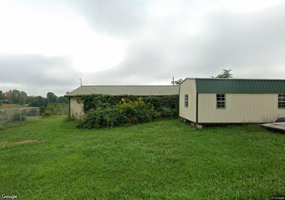
1700 State Route 676 Stockport, OH 43787
Estimated Value: $153,000 - $224,000
2
Beds
1
Bath
940
Sq Ft
$193/Sq Ft
Est. Value
About This Home
This home is located at 1700 State Route 676, Stockport, OH 43787 and is currently estimated at $181,698, approximately $193 per square foot. 1700 State Route 676 is a home with nearby schools including Warren High School.
Ownership History
Date
Name
Owned For
Owner Type
Purchase Details
Closed on
Jul 3, 2007
Sold by
Bruner Land Co Inc
Bought by
Mccutcheon Gary A and Mccutcheon Loretta L
Current Estimated Value
Home Financials for this Owner
Home Financials are based on the most recent Mortgage that was taken out on this home.
Original Mortgage
$8,200
Outstanding Balance
$6,724
Interest Rate
14%
Mortgage Type
Seller Take Back
Estimated Equity
$174,974
Purchase Details
Closed on
Jul 7, 2000
Bought by
Bruner Land Co Inc
Purchase Details
Closed on
Feb 23, 2000
Bought by
Waite Wanda M
Purchase Details
Closed on
Nov 13, 1996
Bought by
Waite Ivan Lif Est & Wan
Create a Home Valuation Report for This Property
The Home Valuation Report is an in-depth analysis detailing your home's value as well as a comparison with similar homes in the area
Home Values in the Area
Average Home Value in this Area
Purchase History
| Date | Buyer | Sale Price | Title Company |
|---|---|---|---|
| Mccutcheon Gary A | $12,500 | Attorney | |
| Bruner Land Co Inc | $110,000 | -- | |
| Waite Wanda M | -- | -- | |
| Waite Ivan Lif Est & Wan | -- | -- |
Source: Public Records
Mortgage History
| Date | Status | Borrower | Loan Amount |
|---|---|---|---|
| Open | Mccutcheon Gary A | $8,200 |
Source: Public Records
Tax History Compared to Growth
Tax History
| Year | Tax Paid | Tax Assessment Tax Assessment Total Assessment is a certain percentage of the fair market value that is determined by local assessors to be the total taxable value of land and additions on the property. | Land | Improvement |
|---|---|---|---|---|
| 2024 | $1,656 | $39,890 | $4,750 | $35,140 |
| 2023 | $1,656 | $39,890 | $4,750 | $35,140 |
| 2022 | $1,654 | $39,890 | $4,750 | $35,140 |
| 2021 | $1,227 | $28,070 | $5,120 | $22,950 |
| 2020 | $1,226 | $28,070 | $5,120 | $22,950 |
| 2019 | $1,210 | $28,070 | $5,120 | $22,950 |
| 2018 | $1,103 | $24,860 | $4,460 | $20,400 |
| 2017 | $1,098 | $24,860 | $4,460 | $20,400 |
| 2016 | $1,328 | $24,860 | $4,460 | $20,400 |
| 2015 | $788 | $20,180 | $4,340 | $15,840 |
| 2014 | $1,089 | $20,180 | $4,340 | $15,840 |
| 2013 | $768 | $20,180 | $4,340 | $15,840 |
Source: Public Records
Map
Nearby Homes
- 4000 C206
- 7600 Marion St
- 0 Ohio 555 Unit 5146049
- Lot 2 Shinn Rd
- 5174 Lightner Ridge Rd
- Lot 2 Shinn Rd
- Lot 1 Shinn Rd
- 2187 State Route 550
- 0 Kosky Dr
- 3291 Kosky Dr
- 3111 Big Bottom Ln
- 4660 E J Ross Ln
- 1022 Tullis Rd
- 0 Meadow St Unit Lot 9 5158299
- 0 Meadow St Unit Lot 9 225008020
- 1715 South St
- 1770 Broadway St
- 1960 Broadway St
- 3265 Tieber Rd
- 681 Downing Rd
- 1765 State Route 676
- 1855 State Route 676
- 2092 State Route 676
- 1795 Ohio 676
- 462 Short Rd
- 565 Niceswanger Rd
- 1250 Tabor Ridge Rd
- 610 Niceswanger Rd
- 2645 State Route 676
- 375 Sheets Rd
- 895 Sheets Rd
- 250 Sheets Rd
- 2691 State Route 676
- 155 Sheets Rd
- 1818 Boggs Rd
- 2697 State Route 676
- 140 Sheets Rd
- 755 Tabor Ridge Rd
- 755 Tabor Ridge Rd
- 1340 Niceswanger Rd