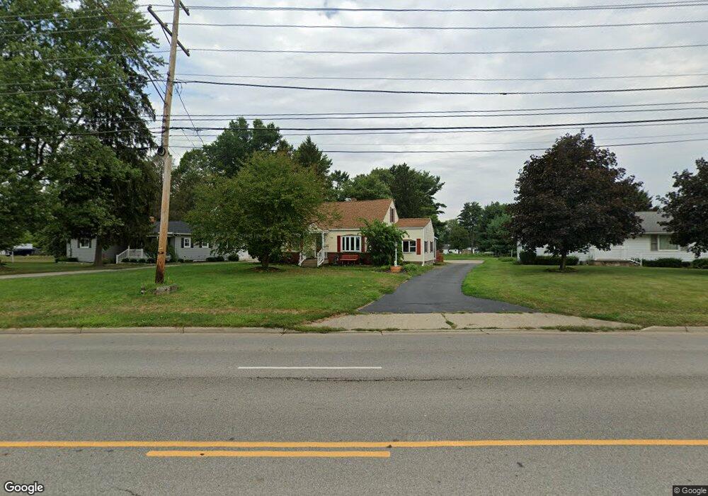
1700 W Main St Newark, OH 43055
Estimated Value: $225,000 - $288,000
2
Beds
1
Bath
1,612
Sq Ft
$158/Sq Ft
Est. Value
About This Home
This home is located at 1700 W Main St, Newark, OH 43055 and is currently estimated at $253,937, approximately $157 per square foot. 1700 W Main St is a home located in Licking County with nearby schools including Cherry Valley Elementary School, Wilson Middle School, and Newark High School.
Ownership History
Date
Name
Owned For
Owner Type
Purchase Details
Closed on
Dec 8, 2021
Sold by
Lallathin Gary L and Lallathin Jacqueline L
Bought by
Lallathin Gary L
Current Estimated Value
Purchase Details
Closed on
Nov 29, 1996
Sold by
Green Todd E
Bought by
Lallathin Gary L and Lallathin Jacqueline
Home Financials for this Owner
Home Financials are based on the most recent Mortgage that was taken out on this home.
Original Mortgage
$45,000
Interest Rate
7.94%
Mortgage Type
New Conventional
Create a Home Valuation Report for This Property
The Home Valuation Report is an in-depth analysis detailing your home's value as well as a comparison with similar homes in the area
Home Values in the Area
Average Home Value in this Area
Purchase History
| Date | Buyer | Sale Price | Title Company |
|---|---|---|---|
| Lallathin Gary L | -- | None Available | |
| Lallathin Gary L | $85,000 | -- |
Source: Public Records
Mortgage History
| Date | Status | Borrower | Loan Amount |
|---|---|---|---|
| Closed | Lallathin Gary L | $45,000 |
Source: Public Records
Tax History
| Year | Tax Paid | Tax Assessment Tax Assessment Total Assessment is a certain percentage of the fair market value that is determined by local assessors to be the total taxable value of land and additions on the property. | Land | Improvement |
|---|---|---|---|---|
| 2024 | $1,936 | $63,950 | $18,450 | $45,500 |
| 2023 | $3,407 | $63,950 | $18,450 | $45,500 |
| 2022 | $1,729 | $51,840 | $10,750 | $41,090 |
| 2021 | $1,801 | $51,560 | $10,750 | $40,810 |
| 2020 | $1,842 | $51,560 | $10,750 | $40,810 |
| 2019 | $1,610 | $44,770 | $10,750 | $34,020 |
| 2018 | $1,611 | $0 | $0 | $0 |
| 2017 | $1,655 | $0 | $0 | $0 |
| 2016 | $1,730 | $0 | $0 | $0 |
| 2015 | $1,768 | $0 | $0 | $0 |
| 2014 | $2,784 | $0 | $0 | $0 |
| 2013 | $1,629 | $0 | $0 | $0 |
Source: Public Records
Map
Nearby Homes
- 1863 Cherry Valley Rd
- 69 N Terrace Ave
- 175 Oak Valley Ct
- 172 Badger Pass
- 2235 Overlook Way
- 2270 Overlook Way
- 2103 Valentina Ln Unit 27
- 180 Badger Pass
- 1416 Amesbury Ln
- 2249 Cherry Valley Rd SE
- 2275 Overlook Way
- 2285 Overlook Way
- 2290 Overlook Way
- 95 Carey Ln
- 1112 Cherry Valley Rd SE
- 67 N 31st St
- 18 Swainford Dr
- 258 Willow Bend Dr
- 514 S 30th St
- 855 Howell Dr
- 1692 W Main St
- 1708 W Main St
- 1684 W Main St
- 25 N 39th St
- 1716 W Main St
- 31 N 39th St
- 1670 W Main St Unit 1674
- 26 N 39th St
- 1740 Parsons Ln
- 39 N 39th St
- 1660 W Main St
- 28 N 39th St
- 1746 Parsons Ln
- 1693 Greer Dr W
- 1711 Greer Dr W
- 1654 W Main St
- 1685 Greer Dr W
- 1701 Greer Dr W
- 1719 Greer Dr W
- 1752 Parsons Ln
Your Personal Tour Guide
Ask me questions while you tour the home.