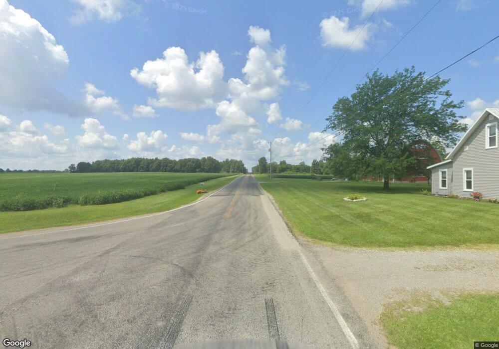
1700 W State Route 29 Urbana, OH 43078
Estimated Value: $168,410 - $225,000
3
Beds
2
Baths
1,248
Sq Ft
$158/Sq Ft
Est. Value
About This Home
This home is located at 1700 W State Route 29, Urbana, OH 43078 and is currently estimated at $197,603, approximately $158 per square foot. 1700 W State Route 29 is a home located in Champaign County with nearby schools including West Liberty-Salem Elementary School, West Liberty-Salem Middle School, and West Liberty-Salem Middle/High School.
Ownership History
Date
Name
Owned For
Owner Type
Purchase Details
Closed on
Nov 27, 2001
Sold by
Dyer Agnes M
Bought by
Haerr James C and Haerr Alice C
Current Estimated Value
Home Financials for this Owner
Home Financials are based on the most recent Mortgage that was taken out on this home.
Original Mortgage
$81,700
Outstanding Balance
$32,043
Interest Rate
6.62%
Mortgage Type
FHA
Estimated Equity
$165,560
Create a Home Valuation Report for This Property
The Home Valuation Report is an in-depth analysis detailing your home's value as well as a comparison with similar homes in the area
Home Values in the Area
Average Home Value in this Area
Purchase History
| Date | Buyer | Sale Price | Title Company |
|---|---|---|---|
| Haerr James C | $83,000 | -- |
Source: Public Records
Mortgage History
| Date | Status | Borrower | Loan Amount |
|---|---|---|---|
| Open | Haerr James C | $81,700 |
Source: Public Records
Tax History Compared to Growth
Tax History
| Year | Tax Paid | Tax Assessment Tax Assessment Total Assessment is a certain percentage of the fair market value that is determined by local assessors to be the total taxable value of land and additions on the property. | Land | Improvement |
|---|---|---|---|---|
| 2024 | $1,451 | $38,470 | $8,750 | $29,720 |
| 2023 | $1,451 | $38,470 | $8,750 | $29,720 |
| 2022 | $1,456 | $38,470 | $8,750 | $29,720 |
| 2021 | $1,246 | $30,780 | $7,000 | $23,780 |
| 2020 | $1,246 | $30,780 | $7,000 | $23,780 |
| 2019 | $1,231 | $30,780 | $7,000 | $23,780 |
| 2018 | $1,017 | $25,780 | $6,300 | $19,480 |
| 2017 | $1,002 | $25,780 | $6,300 | $19,480 |
| 2016 | $972 | $25,780 | $6,300 | $19,480 |
| 2015 | $882 | $24,850 | $6,300 | $18,550 |
| 2014 | $882 | $24,850 | $6,300 | $18,550 |
| 2013 | $874 | $24,850 | $6,300 | $18,550 |
Source: Public Records
Map
Nearby Homes
- 0 Millerstown Rd
- 00 Millerstown Rd
- 734 Emmalyn Ave
- 728 N Oakland St
- 723 N Russell St
- 922 W Court St
- 1123 Miami St
- 241 Louden St
- 242 Laurel Oak St
- 234 Laurel Oak St
- 129 Gwynne St
- 0 Laurel Oak St Unit 225013949
- 0 Laurel Oak St Unit 1038292
- 206 Lincoln Place
- 0 Ohio 296
- 311 W Church St
- 306 W Court St
- 501 Boyce St
- 603 E Light St
- 1710 W State Route 29
- 1690 W State Route 29
- 1680 W State Route 29
- 1675 W State Route 29
- 1685 W State Route 29
- 1727 W State Route 29
- 1736 W State Route 29
- 1736 W St Rte 29
- 1667 Ohio 29
- 1667 W State Route 29
- 1749 W State Route 29
- 1763 W State Route 29
- 1794 W State Route 29
- 1732 W State Route 29
- 1810 W State Route 29
- 1805 W State Route 29
- 1734 W State Route 29
- 1814 W State Route 29
- 1828 W State Route 29
- 1843 W State Route 29