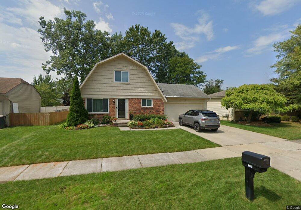
1700 Woodstock St Canton, MI 48188
Estimated Value: $343,757 - $367,000
--
Bed
2
Baths
1,615
Sq Ft
$219/Sq Ft
Est. Value
About This Home
This home is located at 1700 Woodstock St, Canton, MI 48188 and is currently estimated at $353,939, approximately $219 per square foot. 1700 Woodstock St is a home located in Wayne County with nearby schools including Canton High School, Salem High School, and Plymouth High School.
Ownership History
Date
Name
Owned For
Owner Type
Purchase Details
Closed on
Aug 3, 2021
Sold by
Lenning William S and Lenning Kathleen M
Bought by
Lenning William Scott and Lenning Kathleen M
Current Estimated Value
Home Financials for this Owner
Home Financials are based on the most recent Mortgage that was taken out on this home.
Original Mortgage
$127,000
Outstanding Balance
$115,482
Interest Rate
2.9%
Mortgage Type
New Conventional
Estimated Equity
$238,457
Purchase Details
Closed on
Dec 6, 2004
Sold by
Lennig William Scott and Lennig Kathleen M
Bought by
Lennig William Scott
Purchase Details
Closed on
May 11, 1995
Sold by
Park Carl D
Bought by
Lennig William S and Lennig Kathleen
Create a Home Valuation Report for This Property
The Home Valuation Report is an in-depth analysis detailing your home's value as well as a comparison with similar homes in the area
Home Values in the Area
Average Home Value in this Area
Purchase History
| Date | Buyer | Sale Price | Title Company |
|---|---|---|---|
| Lenning William Scott | -- | Best Homes Title Agency | |
| Lennig William S | -- | Best Homes Title Agency | |
| Lennig William Scott | -- | -- | |
| Lennig William S | $113,900 | -- |
Source: Public Records
Mortgage History
| Date | Status | Borrower | Loan Amount |
|---|---|---|---|
| Open | Lennig William S | $127,000 |
Source: Public Records
Tax History Compared to Growth
Tax History
| Year | Tax Paid | Tax Assessment Tax Assessment Total Assessment is a certain percentage of the fair market value that is determined by local assessors to be the total taxable value of land and additions on the property. | Land | Improvement |
|---|---|---|---|---|
| 2025 | $1,523 | $161,600 | $0 | $0 |
| 2024 | $1,523 | $153,600 | $0 | $0 |
| 2023 | $1,452 | $129,400 | $0 | $0 |
| 2022 | $3,233 | $112,800 | $0 | $0 |
| 2021 | $3,138 | $108,400 | $0 | $0 |
| 2020 | $3,096 | $103,000 | $0 | $0 |
| 2019 | $3,041 | $97,940 | $0 | $0 |
| 2018 | $1,234 | $88,310 | $0 | $0 |
| 2017 | $3,148 | $87,800 | $0 | $0 |
| 2016 | $2,776 | $86,300 | $0 | $0 |
| 2015 | $6,782 | $81,870 | $0 | $0 |
| 2013 | $6,570 | $68,520 | $0 | $0 |
| 2010 | -- | $70,850 | $34,200 | $36,650 |
Source: Public Records
Map
Nearby Homes
- 2006 S Lilley Rd
- 41928 Old Bridge Rd
- 1530 Fairfax Dr
- 41481 Cumberland Dr
- 41441 Cumberland Dr
- 2340 S Lilley Rd
- 42272 Beechwood Ct
- 42384 Beechwood Ct
- 1834 Maple Park Dr W Unit 9
- 2855 Tall Oak Ln
- 43538 Arbor Way W Unit 152
- 43450 Fredericksburg St
- 2435 S Haggerty Rd
- 2942 Tall Oak Ln
- 41567 SiMcOe Dr
- 1632 Bennington Ct Unit 1632
- 678 Kings Way
- 1803 Pinecroft Dr Unit 171
- 1683 Christopher Dr Unit 40
- 2322 Arcadia Dr Unit 254
- 1708 Woodstock St
- 1689 Woodstock St
- 42103 Marissa Ct
- 42104 Marissa Ct
- 1720 Woodstock St
- 41975 Woodbridge Dr
- 41991 Woodbridge Dr
- 1707 Woodstock St
- 42119 Marissa Ct
- 1683 Woodstock St
- 42120 Marissa Ct
- 1721 Woodstock St
- 42007 Woodbridge Dr
- 42023 Woodbridge Dr
- 41960 Woodbridge Dr
- 1706 Woodbridge Ct
- 42135 Marissa Ct
- 1694 Woodbridge Ct
- 41942 Woodbridge Dr
- 42136 Marissa Ct