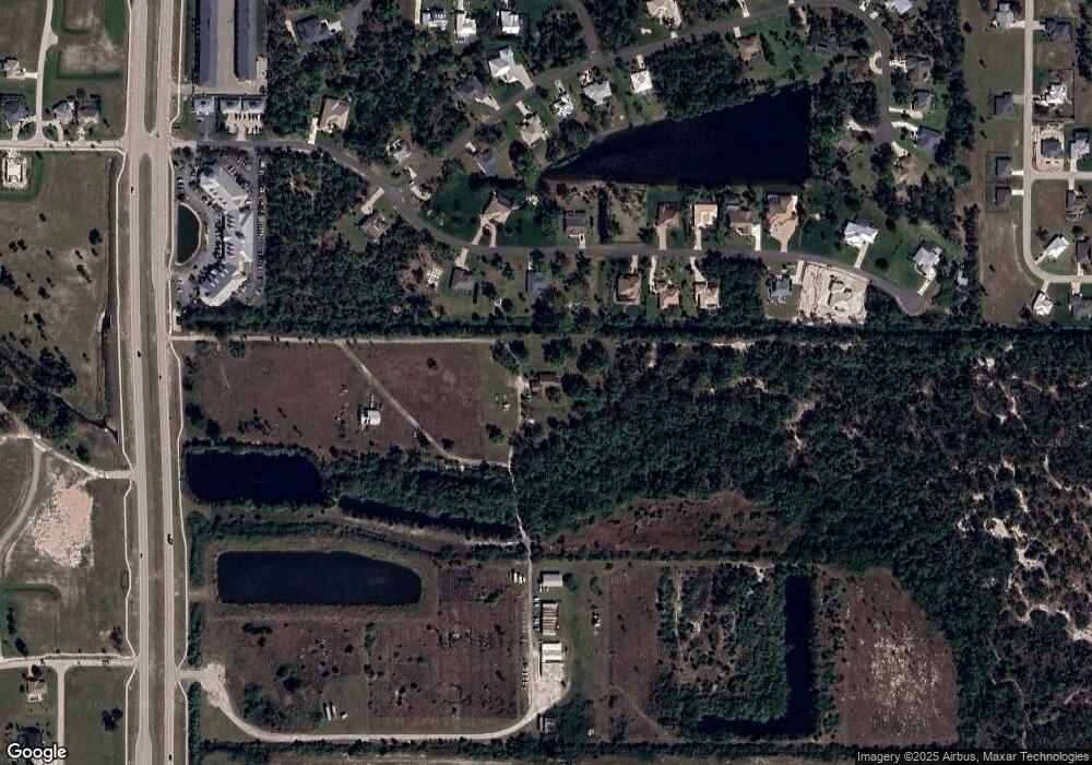
17000 Burnt Store Rd Punta Gorda, FL 33955
Burnt Store NeighborhoodEstimated Value: $362,991 - $577,000
4
Beds
2
Baths
2,696
Sq Ft
$172/Sq Ft
Est. Value
About This Home
This home is located at 17000 Burnt Store Rd, Punta Gorda, FL 33955 and is currently estimated at $464,248, approximately $172 per square foot. 17000 Burnt Store Rd is a home located in Charlotte County with nearby schools including East Elementary School, Punta Gorda Middle School, and Charlotte High School.
Ownership History
Date
Name
Owned For
Owner Type
Purchase Details
Closed on
Jun 21, 2019
Sold by
Coward Dorothy F
Bought by
Hawks Landing Of Punta Gorda Llc
Current Estimated Value
Purchase Details
Closed on
Jun 6, 2019
Sold by
Coward Leonard Burdette
Bought by
Hawks Landing Of Punta Gorda Llc
Purchase Details
Closed on
Jul 2, 1999
Sold by
Coward Leonard Burdette and Coward Dorothy F
Bought by
Coward Leonard B and Coward Dorothy F
Home Financials for this Owner
Home Financials are based on the most recent Mortgage that was taken out on this home.
Original Mortgage
$105,000
Interest Rate
7.23%
Create a Home Valuation Report for This Property
The Home Valuation Report is an in-depth analysis detailing your home's value as well as a comparison with similar homes in the area
Home Values in the Area
Average Home Value in this Area
Purchase History
| Date | Buyer | Sale Price | Title Company |
|---|---|---|---|
| Hawks Landing Of Punta Gorda Llc | -- | None Available | |
| Hawks Landing Of Punta Gorda Llc | $81,700 | Attorney | |
| Coward Leonard B | -- | -- |
Source: Public Records
Mortgage History
| Date | Status | Borrower | Loan Amount |
|---|---|---|---|
| Previous Owner | Coward Leonard B | $105,000 |
Source: Public Records
Tax History Compared to Growth
Tax History
| Year | Tax Paid | Tax Assessment Tax Assessment Total Assessment is a certain percentage of the fair market value that is determined by local assessors to be the total taxable value of land and additions on the property. | Land | Improvement |
|---|---|---|---|---|
| 2023 | $4,655 | $200,008 | $0 | $0 |
| 2022 | $3,744 | $232,053 | $12,750 | $219,303 |
| 2021 | $3,249 | $165,295 | $6,375 | $158,920 |
| 2020 | $3,272 | $167,449 | $5,865 | $161,584 |
| 2019 | $3,238 | $167,138 | $5,100 | $162,038 |
| 2018 | $2,865 | $155,210 | $4,760 | $150,450 |
| 2017 | $2,769 | $154,844 | $4,760 | $150,084 |
| 2016 | $2,638 | $129,106 | $0 | $0 |
| 2015 | $2,543 | $117,369 | $0 | $0 |
| 2014 | $2,245 | $106,699 | $0 | $0 |
Source: Public Records
Map
Nearby Homes
- 16490 Trading Post Rd
- 25134 Doredo Dr
- 25041 Doredo Dr
- 25466 Doredo Dr
- 25426 Doredo Dr
- 25418 Doredo Dr
- 25482 Doredo Dr
- 25261 Doredo Dr
- 25051 Doredo Dr
- 25414 Estrada Cir
- 25046 Doredo Dr
- 25446 Estrada Cir
- 25251 Doredo Dr
- 25197 Delgado Dr
- 16449 Campo Sano Ct
- 25459 Estrada Cir
- 25467 Estrada Cir
- 25337 Durango Ct
- 16446 Belo Ct
- 24458 Rio Togas Rd
- 25111 Harborside Blvd
- 25141 Harborside Blvd
- 25095 Harborside Blvd
- 25061 Harborside Blvd
- 0 Harborside Blvd
- 25190 Harborside Blvd
- 25151 Harborside Blvd
- 25087 & 25095 Harborside Blvd
- 25087 Harborside Blvd
- 25120 Harborside Blvd
- 25100 Harborside Blvd
- 25161 Harborside Blvd
- 25140 Harborside Blvd
- 25079 Harborside Blvd
- 25150 Harborside Blvd
- 25171 Harborside Blvd
- 25081 Roland Ln
- 25160 Harborside Blvd
- 25071 Harborside Blvd
- 25101 Roland Ln
