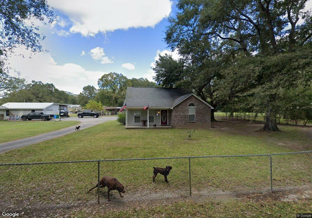
17008 Pierce St Moss Point, MS 39562
Estimated Value: $193,000 - $236,000
Studio
--
Bath
1,902
Sq Ft
$114/Sq Ft
Est. Value
About This Home
This home is located at 17008 Pierce St, Moss Point, MS 39562 and is currently estimated at $217,018, approximately $114 per square foot. 17008 Pierce St is a home with nearby schools including East Central Lower Elementary School, East Central Upper Elementary School, and East Central Middle School.
Ownership History
Date
Name
Owned For
Owner Type
Purchase Details
Closed on
Nov 29, 2012
Sold by
Hamilton Heather and Seymour Heather Hamilton
Bought by
Seymour Heath J and Seymour Heather Hamilton
Current Estimated Value
Home Financials for this Owner
Home Financials are based on the most recent Mortgage that was taken out on this home.
Original Mortgage
$21,500
Interest Rate
3.44%
Create a Home Valuation Report for This Property
The Home Valuation Report is an in-depth analysis detailing your home's value as well as a comparison with similar homes in the area
Purchase History
We collect this data history from publicly available records. To have your information removed, we recommend requesting removal directly through your county’s website.
| Date | Buyer | Sale Price | Title Company |
|---|---|---|---|
| Seymour Heath J | -- | -- |
Source: Public Records
Mortgage History
We collect this data history from publicly available records. To have your information removed, we recommend requesting removal directly through your county’s website.
| Date | Status | Borrower | Loan Amount |
|---|---|---|---|
| Closed | Seymour Heath J | $21,500 |
Source: Public Records
Tax History
| Year | Tax Paid | Tax Assessment Tax Assessment Total Assessment is a certain percentage of the fair market value that is determined by local assessors to be the total taxable value of land and additions on the property. | Land | Improvement |
|---|---|---|---|---|
| 2025 | $1,814 | $17,795 | $769 | $17,026 |
| 2024 | $1,814 | $15,471 | $748 | $14,723 |
| 2023 | $1,557 | $15,471 | $748 | $14,723 |
| 2022 | $1,505 | $15,471 | $748 | $14,723 |
| 2021 | $1,513 | $15,552 | $748 | $14,804 |
| 2020 | $1,480 | $14,736 | $692 | $14,044 |
| 2019 | $1,461 | $14,736 | $692 | $14,044 |
| 2018 | $1,495 | $14,736 | $692 | $14,044 |
| 2017 | $1,525 | $14,736 | $692 | $14,044 |
| 2016 | $1,453 | $14,736 | $692 | $14,044 |
| 2015 | $1,327 | $136,030 | $6,920 | $129,110 |
| 2014 | $1,343 | $13,985 | $692 | $13,293 |
| 2013 | $334 | $2,945 | $1,542 | $1,403 |
Source: Public Records
Map
Nearby Homes
- 16928 Shenandoah Rd
- 17209 Red Top Ln
- 16420 Mississippi 63
- 2432 Pascagoula River Rd
- 3016 Ed Parker Rd
- 19500 Angel Ln
- 19506 Highway 63
- 0 Timber Ridge Dr
- 20700 Cameron Ln
- 7201 Bentwood Dr
- 17713 Highway 613
- 12601 Berkley Rd
- 26.1 Acres Brinkman Rd E
- 0 Perry St
- 13704 Coleman St
- 4432 Lily Patch Ln
- 0 Ms-613 Hwy Unit 4107607
- 0 Ms-613 Hwy Unit 4107612
- 0 Dr Unit 4052148
- 3601 Sandy Bayou Rd
- 17000 Pierce St
- 17108 Pierce St
- 2957 Sam Kirkwood Rd
- 17112 Pierce St
- 3137 Sam Kirkwood Rd
- 3120 Sam Kirkwood Rd
- 17021 Pierce St
- 17017 Pierce St
- 2947 Sam Kirkwood Rd
- 0 Sam Kirkwood
- 17300 Satsuma
- 3024 Sam Kirkwood Rd
- 3036 Andrew Cumbest Rd
- 17308 Satsuma
- 3204 Sam Kirkwood Rd
- 3233 Sam Kirkwood Rd
- 17121 Pierce St
- 2937 Sam Kirkwood Rd
- 17008 Highway 63
- 17113 Highway 63
Your Personal Tour Guide
Ask me questions while you tour the home.