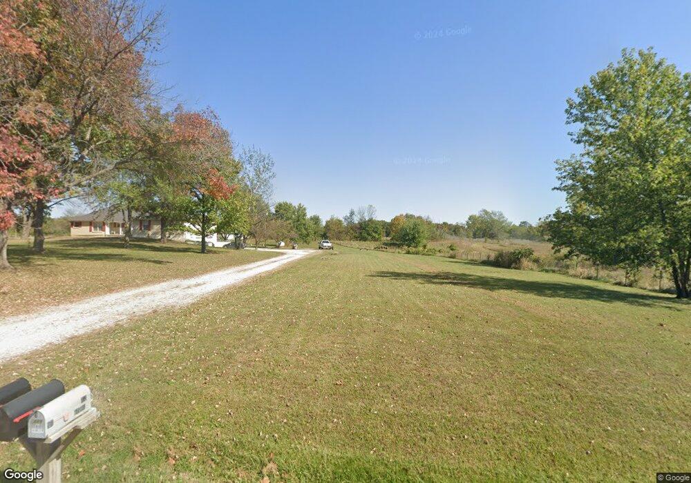
17009 S State Route E Pleasant Hill, MO 64080
Estimated Value: $512,000 - $613,000
4
Beds
4
Baths
2,246
Sq Ft
$244/Sq Ft
Est. Value
About This Home
This home is located at 17009 S State Route E, Pleasant Hill, MO 64080 and is currently estimated at $549,103, approximately $244 per square foot. 17009 S State Route E is a home located in Cass County.
Ownership History
Date
Name
Owned For
Owner Type
Purchase Details
Closed on
Nov 29, 2023
Sold by
Studyvin Roy E and Studyvin Jeanine
Bought by
Rj Studyvin Family Trust
Current Estimated Value
Purchase Details
Closed on
Mar 21, 2017
Sold by
Harp Bradley J and Kolby Elizabeth L
Bought by
Studyvin Roy E and Studyvin Jeanine
Home Financials for this Owner
Home Financials are based on the most recent Mortgage that was taken out on this home.
Original Mortgage
$192,000
Interest Rate
4.16%
Mortgage Type
New Conventional
Create a Home Valuation Report for This Property
The Home Valuation Report is an in-depth analysis detailing your home's value as well as a comparison with similar homes in the area
Home Values in the Area
Average Home Value in this Area
Purchase History
| Date | Buyer | Sale Price | Title Company |
|---|---|---|---|
| Rj Studyvin Family Trust | -- | None Listed On Document | |
| Studyvin Roy E | -- | First United Title Agency Ll |
Source: Public Records
Mortgage History
| Date | Status | Borrower | Loan Amount |
|---|---|---|---|
| Previous Owner | Studyvin Roy E | $192,000 |
Source: Public Records
Tax History Compared to Growth
Tax History
| Year | Tax Paid | Tax Assessment Tax Assessment Total Assessment is a certain percentage of the fair market value that is determined by local assessors to be the total taxable value of land and additions on the property. | Land | Improvement |
|---|---|---|---|---|
| 2024 | $2,812 | $40,620 | $4,970 | $35,650 |
| 2023 | $2,804 | $40,620 | $4,970 | $35,650 |
| 2022 | $2,493 | $35,690 | $4,970 | $30,720 |
| 2021 | $2,459 | $35,690 | $4,970 | $30,720 |
| 2020 | $2,345 | $34,910 | $4,970 | $29,940 |
| 2019 | $2,311 | $34,910 | $4,970 | $29,940 |
| 2018 | $2,106 | $31,500 | $3,970 | $27,530 |
| 2017 | $1,988 | $31,500 | $3,970 | $27,530 |
| 2016 | $1,988 | $29,710 | $3,660 | $26,050 |
| 2015 | $2,016 | $29,710 | $3,660 | $26,050 |
| 2014 | $2,025 | $29,710 | $3,660 | $26,050 |
| 2013 | -- | $29,710 | $3,660 | $26,050 |
Source: Public Records
Map
Nearby Homes
- 15800 S State Route 7
- 36404 E County Line Rd
- 0 E County Line Rd
- Lot 10 Snyder Rd
- 32204 E County Line Rd
- 35001 E Stringtown Rd
- Lot 9 Snyder Rd
- Lot 8 Snyder Rd
- 33701 E State Route 58
- Lot 7 Snyder Rd
- Lot 4 Snyder Rd
- 312 N East Hwy
- Lot 6 Snyder Rd
- Lot 5 Snyder Rd
- 33604 E Stringtown Rd
- 17806 Red Bud Cir
- 14913 S Outer Belt Extension
- 902 Buckeye Ln
- 1809 Alpine Dr
- 14801 Hamilton Rd
- 17009 S State Route E N A
- 17016 S State Route E
- 16901 S State Route E Rural Route
- 17117 S State Route E
- 40200 E 161st St
- 16901 S State Rte E Rural Route
- 16901 S State Rte E N A
- 36000 E 171st St
- 16900 S State Route E
- 16900 S State Route E
- 16701 S State Route E
- 36001 E 171st St
- 36200 E 171st St
- 36308 E 171st St
- 16621 S State Route E
- 17322 S State Route E
- 17321 S State Route E Rural Route
- 17321 S State Route East Rural Route
- 16610 S State Route E
- 16601 S State Route E