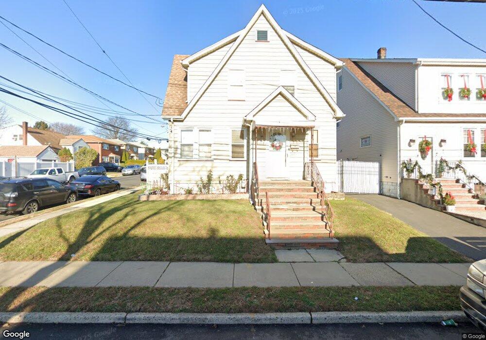
1701 Dill Ave Linden, NJ 07036
Estimated Value: $445,382 - $596,000
Studio
--
Bath
1,445
Sq Ft
$349/Sq Ft
Est. Value
About This Home
This home is located at 1701 Dill Ave, Linden, NJ 07036 and is currently estimated at $504,846, approximately $349 per square foot. 1701 Dill Ave is a home located in Union County with nearby schools including School No. 4, Joseph E. Soehl Middle School, and Linden High School.
Ownership History
Date
Name
Owned For
Owner Type
Purchase Details
Closed on
Jan 31, 2001
Sold by
Linebaugh Michael J and Linebaugh Patrice A
Bought by
Rodriguez Juan A and Rodriguez Juana L
Current Estimated Value
Home Financials for this Owner
Home Financials are based on the most recent Mortgage that was taken out on this home.
Original Mortgage
$130,800
Outstanding Balance
$47,459
Interest Rate
7.14%
Estimated Equity
$457,387
Purchase Details
Closed on
Jul 18, 1997
Sold by
Linebaugh Michael J
Bought by
Linebaugh Michael J and Linebaugh Patrice A
Home Financials for this Owner
Home Financials are based on the most recent Mortgage that was taken out on this home.
Original Mortgage
$109,550
Interest Rate
7.27%
Create a Home Valuation Report for This Property
The Home Valuation Report is an in-depth analysis detailing your home's value as well as a comparison with similar homes in the area
Home Values in the Area
Average Home Value in this Area
Purchase History
| Date | Buyer | Sale Price | Title Company |
|---|---|---|---|
| Rodriguez Juan A | $163,500 | Stewart Title Guaranty Compa | |
| Linebaugh Michael J | -- | -- |
Source: Public Records
Mortgage History
| Date | Status | Borrower | Loan Amount |
|---|---|---|---|
| Open | Rodriguez Juan A | $130,800 | |
| Previous Owner | Linebaugh Michael J | $109,550 |
Source: Public Records
Tax History
| Year | Tax Paid | Tax Assessment Tax Assessment Total Assessment is a certain percentage of the fair market value that is determined by local assessors to be the total taxable value of land and additions on the property. | Land | Improvement |
|---|---|---|---|---|
| 2025 | $8,663 | $123,200 | $46,000 | $77,200 |
| 2024 | $8,474 | $123,200 | $46,000 | $77,200 |
| 2023 | $8,474 | $123,200 | $46,000 | $77,200 |
| 2022 | $8,518 | $123,200 | $46,000 | $77,200 |
| 2021 | $8,561 | $123,200 | $46,000 | $77,200 |
| 2020 | $8,516 | $123,200 | $46,000 | $77,200 |
| 2019 | $8,487 | $123,200 | $46,000 | $77,200 |
| 2018 | $8,485 | $123,200 | $46,000 | $77,200 |
| 2017 | $8,301 | $123,200 | $46,000 | $77,200 |
| 2016 | $8,040 | $123,200 | $46,000 | $77,200 |
| 2015 | $7,733 | $123,200 | $46,000 | $77,200 |
| 2014 | $7,583 | $123,200 | $46,000 | $77,200 |
Source: Public Records
Map
Nearby Homes
- 423 Bernard Ave
- 119 Grant St
- 1610 Mildred Ave
- 318 Garfield St
- 37A Carolyn Terrace
- 1632 Essex Ave
- 13 Carolyn Terrace Unit A
- 117 Grant St
- 1123 Thompson Ave
- 1918 Ingalls Ave
- 1924 Caroline Ave
- 1310 E Henry St
- 1107 Drake Ave
- 2050 E Saint Georges Ave
- 943 Drake Ave
- 1101 Bergen Ave
- 930 Drake Ave
- 2132 Alberta Ave
- 761 Drake Ave
- 415 E 10th Ave
Your Personal Tour Guide
Ask me questions while you tour the home.