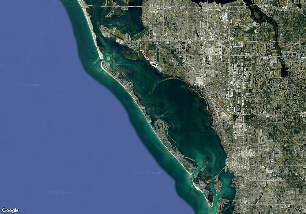
1701 Drive Longboat Key, FL 34228
Estimated Value: $1,225,752 - $1,395,000
2
Beds
2
Baths
1,551
Sq Ft
$851/Sq Ft
Est. Value
About This Home
This home is located at 1701 Drive, Longboat Key, FL 34228 and is currently estimated at $1,320,438, approximately $851 per square foot. 1701 Drive is a home located in Sarasota County with nearby schools including Southside Elementary School and Booker Middle School.
Ownership History
Date
Name
Owned For
Owner Type
Purchase Details
Closed on
Sep 22, 2023
Sold by
Wade Maryanne
Bought by
Maryanne Wade Revocable Living Trust and Wade
Current Estimated Value
Purchase Details
Closed on
Jun 10, 2008
Sold by
National City Bank
Bought by
Wade Brian and Wade Maryanne
Purchase Details
Closed on
Aug 14, 2007
Sold by
Krulak Sandy M
Bought by
National City Bank
Purchase Details
Closed on
Feb 13, 1998
Sold by
Bromley Chris and Romley Angela
Bought by
Krulak Sandy M
Purchase Details
Closed on
Jun 11, 1993
Sold by
Stefanacci Richard G and Stefanacci Carol Ann
Bought by
Maita John and Maita Marie
Home Financials for this Owner
Home Financials are based on the most recent Mortgage that was taken out on this home.
Original Mortgage
$200,000
Interest Rate
7.42%
Create a Home Valuation Report for This Property
The Home Valuation Report is an in-depth analysis detailing your home's value as well as a comparison with similar homes in the area
Home Values in the Area
Average Home Value in this Area
Purchase History
| Date | Buyer | Sale Price | Title Company |
|---|---|---|---|
| Maryanne Wade Revocable Living Trust | $100 | None Listed On Document | |
| Wade Brian | $575,000 | Attorney | |
| National City Bank | -- | None Available | |
| Krulak Sandy M | $400,000 | -- | |
| Maita John | $325,000 | -- |
Source: Public Records
Mortgage History
| Date | Status | Borrower | Loan Amount |
|---|---|---|---|
| Previous Owner | Maita John | $200,000 |
Source: Public Records
Tax History Compared to Growth
Tax History
| Year | Tax Paid | Tax Assessment Tax Assessment Total Assessment is a certain percentage of the fair market value that is determined by local assessors to be the total taxable value of land and additions on the property. | Land | Improvement |
|---|---|---|---|---|
| 2024 | $15,506 | $1,108,300 | -- | $1,108,300 |
| 2023 | $15,506 | $1,166,200 | $0 | $1,166,200 |
| 2022 | $10,973 | $986,100 | $0 | $986,100 |
| 2021 | $8,221 | $547,600 | $0 | $547,600 |
| 2020 | $8,238 | $536,900 | $0 | $536,900 |
| 2019 | $7,705 | $541,900 | $0 | $541,900 |
| 2018 | $7,267 | $519,900 | $0 | $519,900 |
| 2017 | $6,154 | $400,400 | $0 | $400,400 |
| 2016 | $6,749 | $431,700 | $0 | $431,700 |
| 2015 | $7,219 | $467,100 | $0 | $467,100 |
| 2014 | $7,197 | $378,100 | $0 | $0 |
Source: Public Records
Map
Nearby Homes
- 1701 Gulf of Mexico Dr Unit 109
- 1701 Gulf of Mexico Dr Unit 404
- 1935 Gulf of Mexico Dr Unit G7402
- 1935 Gulf of Mexico Dr Unit G7304
- 1945 Gulf of Mexico Dr Unit M2213
- 1945 Gulf of Mexico Dr Unit M2207
- 1591 Gulf of Mexico Dr Unit 314
- 1591 Gulf of Mexico Dr Unit 410
- 1591 Gulf of Mexico Dr Unit 216
- 1591 Gulf of Mexico Dr Unit 511
- 1591 Gulf of Mexico Dr Unit 515
- 1591 Gulf of Mexico Dr Unit 413
- 1581 Gulf of Mexico Dr Unit 507
- 1561 Gulf of Mexico Dr Unit 403
- 1511 Gulf of Mexico Dr Unit 302
- 501 Harbor Point Rd
- 1975 Gulf of Mexico Dr Unit G4308
- 1975 Gulf of Mexico Dr Unit G4206
- 1965 Gulf of Mexico Dr Unit G5304
- 520 Harbor Cay Dr
- 1935 Gulf of Mexico Dr Unit 101
- 1935 Gulf of Mexico Dr Unit 202
- 1935 Gulf of Mexico Dr Unit 105
- 1935 Gulf of Mexico Dr Unit 103
- 1935 Gulf of Mexico Dr Unit 201
- 1935 Gulf of Mexico Dr Unit 111
- 1935 Gulf of Mexico Dr Unit 403
- 1935 Gulf of Mexico Dr Unit 109
- 1935 Gulf of Mexico Dr Unit 209
- 1935 Gulf of Mexico Dr Unit 405
- 1935 Gulf of Mexico Dr Unit 302
- 1935 Gulf of Mexico Dr Unit 301
- 1935 Gulf of Mexico Dr Unit 205
- 1935 Gulf of Mexico Dr Unit 211
- 1935 Gulf of Mexico Dr Unit G7-41
- 1935 Gulf of Mexico Dr Unit G7-40
- 1935 Gulf of Mexico Dr Unit G7-10
- 1935 Gulf of Mexico Dr Unit G7309
- 1935 Gulf of Mexico Dr Unit G7302
- 1935 Gulf of Mexico Dr Unit G7301
