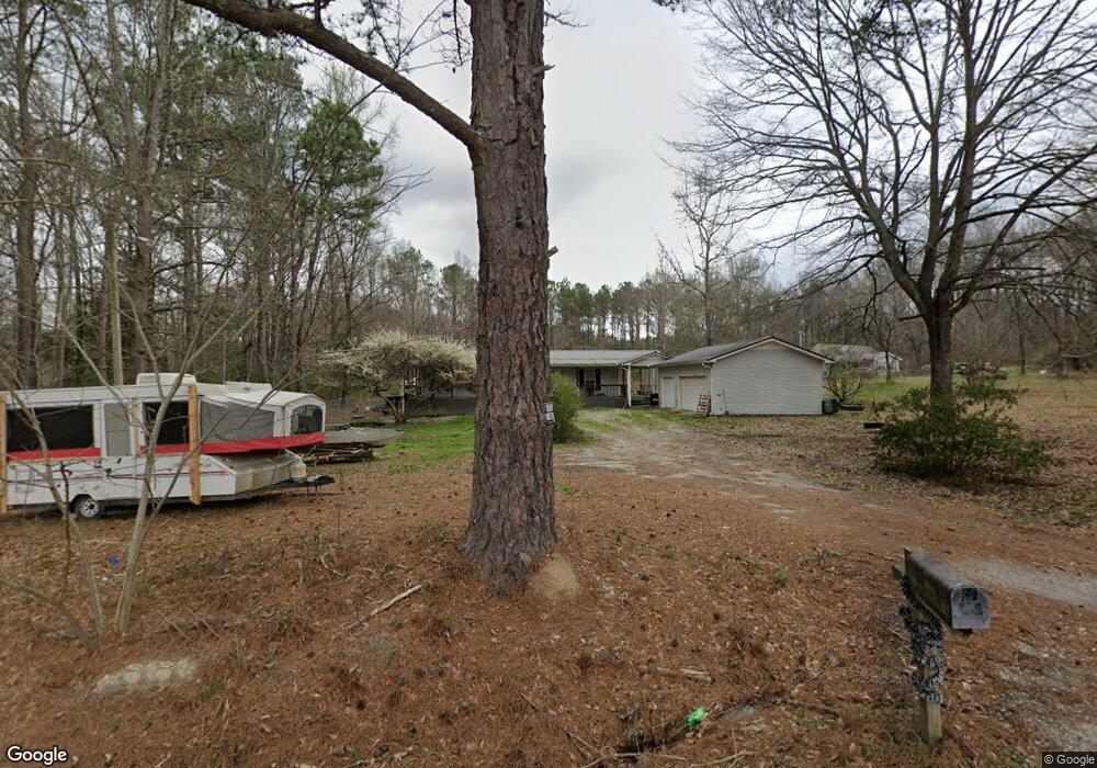
1701 George Brown Rd Franklin, GA 30217
Estimated Value: $188,480 - $220,000
3
Beds
1
Bath
1,122
Sq Ft
$180/Sq Ft
Est. Value
About This Home
This home is located at 1701 George Brown Rd, Franklin, GA 30217 and is currently estimated at $202,370, approximately $180 per square foot. 1701 George Brown Rd is a home located in Heard County with nearby schools including Heard County High School.
Ownership History
Date
Name
Owned For
Owner Type
Purchase Details
Closed on
Dec 6, 2000
Sold by
Quick Albert Eugene
Bought by
Hubbard John
Current Estimated Value
Purchase Details
Closed on
Jun 20, 1996
Sold by
Stevens Robin Ann
Bought by
Quick Albert Eugene
Purchase Details
Closed on
Jul 28, 1993
Sold by
Caswell Alan Curtis
Bought by
Stevens Robin Ann
Purchase Details
Closed on
Apr 1, 1987
Sold by
Thomas Discount Co
Bought by
Caswell Alan Curtis
Purchase Details
Closed on
Nov 6, 1984
Sold by
Dunson James Hollis
Bought by
Thomas Discount Co
Create a Home Valuation Report for This Property
The Home Valuation Report is an in-depth analysis detailing your home's value as well as a comparison with similar homes in the area
Home Values in the Area
Average Home Value in this Area
Purchase History
| Date | Buyer | Sale Price | Title Company |
|---|---|---|---|
| Hubbard John | $73,900 | -- | |
| Quick Albert Eugene | -- | -- | |
| Stevens Robin Ann | -- | -- | |
| Caswell Alan Curtis | $30,000 | -- | |
| Thomas Discount Co | $26,000 | -- |
Source: Public Records
Tax History Compared to Growth
Tax History
| Year | Tax Paid | Tax Assessment Tax Assessment Total Assessment is a certain percentage of the fair market value that is determined by local assessors to be the total taxable value of land and additions on the property. | Land | Improvement |
|---|---|---|---|---|
| 2024 | $983 | $48,740 | $3,288 | $45,452 |
| 2023 | $921 | $44,142 | $2,740 | $41,402 |
| 2022 | $816 | $39,079 | $1,700 | $37,379 |
| 2021 | $710 | $32,307 | $1,700 | $30,607 |
| 2020 | $706 | $31,800 | $1,700 | $30,100 |
| 2019 | $706 | $31,800 | $1,700 | $30,100 |
| 2018 | $720 | $31,800 | $1,700 | $30,100 |
| 2017 | $577 | $25,556 | $1,506 | $24,050 |
| 2016 | $577 | $25,556 | $1,506 | $24,050 |
| 2015 | -- | $21,428 | $2,800 | $18,629 |
| 2014 | -- | $21,432 | $2,800 | $18,632 |
| 2013 | -- | $25,753 | $2,800 | $22,953 |
Source: Public Records
Map
Nearby Homes
- 0 Newman Rd Unit 10559645
- 323 Newman Rd
- 220 Dogwood Rd
- 4230 Joe Stephens Rd
- 19860 Georgia 34
- 19860 Ga Hwy 34
- 0 Thomas Powers Rd Unit 10569332
- 0 Thomas Powers Rd Unit 24228819
- 4621 Highway 34 W
- 4621 Hwy 34 W
- 642 Elm Rd
- 38 Daniel Cir
- 63 Walton Ln
- 260 Ancient Oak Ln
- 17426 Georgia 34
- 189 & 191 W Plantation Dr
- 927 Boy Scout Rd
- 0 Ga Highway 34 Unit 10652639
- 294 Birch Rd
- 4398 Georgia 34
- 1700 George Brown Rd
- 1745 George Brown Rd
- 1631 George Brown Rd
- 1740 George Brown Rd
- 132 Herndon Rd
- 1594 George Brown Rd
- 0 Herndon Rd
- 0 Herndon Rd Unit 7283747
- 1865 George Brown Rd
- 200 Herndon Rd
- 81 Herndon Rd
- 1919 George Brown Rd
- 263 Herndon Rd
- 1931 George Brown Rd
- 316 Herndon Rd
- 1955 George Brown Rd
- 1973 George Brown Rd
- 1991 George Brown Rd
- 305 Herndon Rd
- 2011 George Brown Rd