1701 Green Lane Rd Lansdale, PA 19446
Estimated Value: $877,000 - $1,172,000
9
Beds
6
Baths
5,409
Sq Ft
$188/Sq Ft
Est. Value
About This Home
This home is located at 1701 Green Lane Rd, Lansdale, PA 19446 and is currently estimated at $1,017,963, approximately $188 per square foot. 1701 Green Lane Rd is a home located in Montgomery County with nearby schools including General Nash El School, Pennfield Middle School, and North Penn Senior High School.
Ownership History
Date
Name
Owned For
Owner Type
Purchase Details
Closed on
Jun 26, 2014
Sold by
Youn Sung Tae and Youn Judy
Bought by
Lansdale Community Church and Zion Presbyterian Church
Current Estimated Value
Purchase Details
Closed on
Apr 25, 2008
Sold by
Walker Karen
Bought by
Youn Sung Tae and Youn Judy
Home Financials for this Owner
Home Financials are based on the most recent Mortgage that was taken out on this home.
Original Mortgage
$342,500
Interest Rate
5.91%
Create a Home Valuation Report for This Property
The Home Valuation Report is an in-depth analysis detailing your home's value as well as a comparison with similar homes in the area
Home Values in the Area
Average Home Value in this Area
Purchase History
| Date | Buyer | Sale Price | Title Company |
|---|---|---|---|
| Lansdale Community Church | $470,000 | None Available | |
| Youn Sung Tae | $442,500 | None Available |
Source: Public Records
Mortgage History
| Date | Status | Borrower | Loan Amount |
|---|---|---|---|
| Previous Owner | Youn Sung Tae | $342,500 |
Source: Public Records
Tax History Compared to Growth
Tax History
| Year | Tax Paid | Tax Assessment Tax Assessment Total Assessment is a certain percentage of the fair market value that is determined by local assessors to be the total taxable value of land and additions on the property. | Land | Improvement |
|---|---|---|---|---|
| 2025 | $12,993 | $320,800 | $90,980 | $229,820 |
| 2024 | $12,993 | $320,800 | $90,980 | $229,820 |
| 2023 | $12,443 | $320,800 | $90,980 | $229,820 |
| 2022 | $11,680 | $320,800 | $90,980 | $229,820 |
| 2021 | $11,342 | $320,800 | $90,980 | $229,820 |
| 2020 | $10,828 | $320,800 | $90,980 | $229,820 |
| 2019 | $10,640 | $320,800 | $90,980 | $229,820 |
| 2018 | $2,457 | $320,800 | $90,980 | $229,820 |
| 2017 | $10,216 | $320,800 | $90,980 | $229,820 |
| 2016 | $10,092 | $320,800 | $90,980 | $229,820 |
| 2015 | $9,670 | $320,800 | $90,980 | $229,820 |
| 2014 | $9,670 | $320,800 | $90,980 | $229,820 |
Source: Public Records
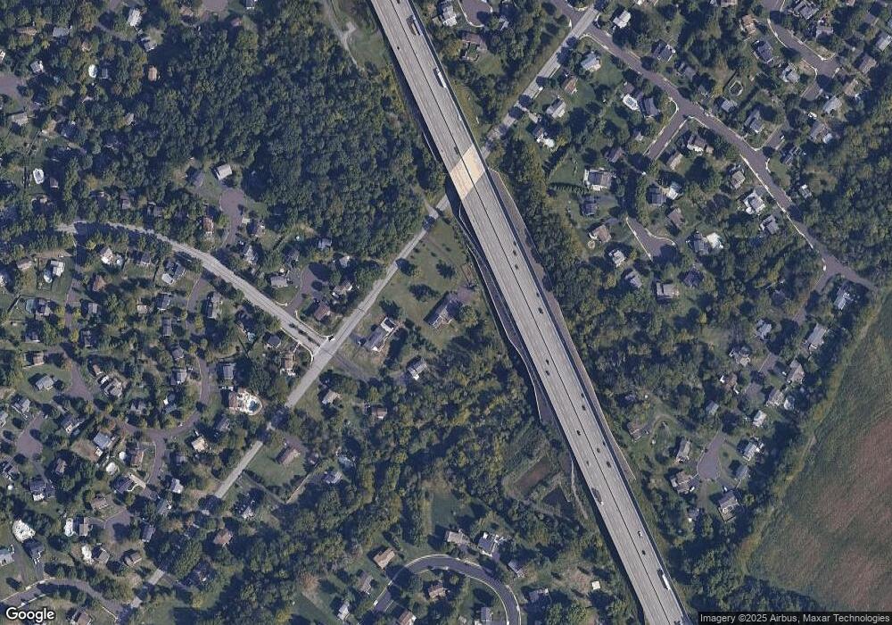
Map
Nearby Homes
- 557 Broxton Ct
- 592 Blackmoor Ct
- 1825 Flintlock Cir
- 30 Greenbriar Ct
- 19 Wildbriar Ct
- 1653 Bridle Path Dr
- 912B Stockton Ct
- 1217A Crosshill Ct
- 506 Clarella Ct
- 10 Bentwood Ct W
- 205 Green Bank Way
- 25 Chestnut Ct E
- 1017 Winfield Ct
- 11 Elder Ct
- 128 Wellington Terrace
- 14 Ash Ct
- 1116 Dogwood Ct
- 2110 Marshall Ct
- 210 Berwick Place Unit 20E
- 2212 Mulberry Ct
- 1705 Green Lane Rd
- 1703 Green Lane Rd
- 1803 Dutchmans Cir
- 1805 Dutchmans Cir
- 1801 Dutchmans Cir
- 1707 Green Lane Rd
- 1804 Dutchmans Cir
- 1709 Green Lane Rd
- 1802 Dutchmans Cir
- 1508 Sherwood Way
- 1506 Sherwood Way
- 1800 Dutchmans Cir
- 1510 Sherwood Way
- 1512 Sherwood Way
- 1502 Liberty Bell Dr
- 1529 Green Lane Rd
- 1504 Sherwood Way
- 1504 Liberty Bell Dr
- 1903 Parkside Ln
- 1905 Parkside Ln