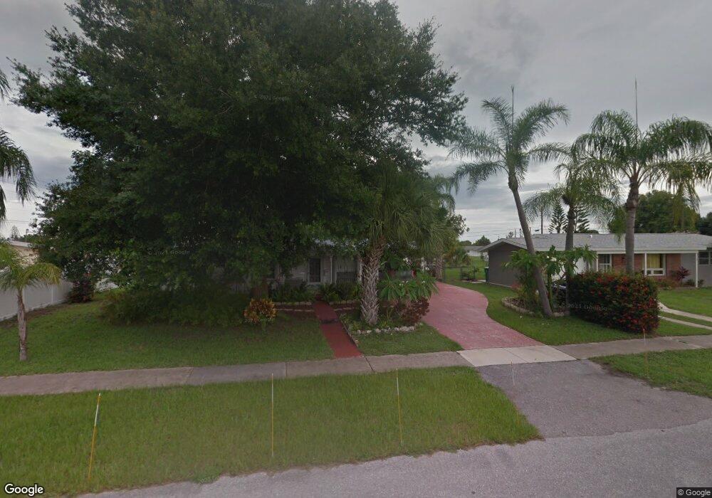
1701 Hayworth Rd Port Charlotte, FL 33952
Estimated Value: $161,630 - $223,000
3
Beds
2
Baths
1,283
Sq Ft
$155/Sq Ft
Est. Value
About This Home
This home is located at 1701 Hayworth Rd, Port Charlotte, FL 33952 and is currently estimated at $198,908, approximately $155 per square foot. 1701 Hayworth Rd is a home located in Charlotte County with nearby schools including Neil Armstrong Elementary School, Port Charlotte Middle School, and Port Charlotte High School.
Ownership History
Date
Name
Owned For
Owner Type
Purchase Details
Closed on
Jul 14, 2003
Sold by
Lucchetti Pauline H
Bought by
Lucchetti Robert G and Lucchetti Pauline H
Current Estimated Value
Home Financials for this Owner
Home Financials are based on the most recent Mortgage that was taken out on this home.
Original Mortgage
$40,000
Outstanding Balance
$17,339
Interest Rate
5.52%
Mortgage Type
New Conventional
Estimated Equity
$181,569
Purchase Details
Closed on
Nov 27, 1996
Sold by
Lucchetti Pauline H
Bought by
Ketchum Timothy B and Lucchetti Pauline H
Create a Home Valuation Report for This Property
The Home Valuation Report is an in-depth analysis detailing your home's value as well as a comparison with similar homes in the area
Home Values in the Area
Average Home Value in this Area
Purchase History
| Date | Buyer | Sale Price | Title Company |
|---|---|---|---|
| Lucchetti Robert G | -- | -- | |
| Ketchum Timothy B | -- | -- |
Source: Public Records
Mortgage History
| Date | Status | Borrower | Loan Amount |
|---|---|---|---|
| Open | Lucchetti Robert G | $40,000 |
Source: Public Records
Tax History Compared to Growth
Tax History
| Year | Tax Paid | Tax Assessment Tax Assessment Total Assessment is a certain percentage of the fair market value that is determined by local assessors to be the total taxable value of land and additions on the property. | Land | Improvement |
|---|---|---|---|---|
| 2023 | $800 | $30,064 | $0 | $0 |
| 2022 | $745 | $29,188 | $0 | $0 |
| 2021 | $723 | $28,338 | $0 | $0 |
| 2020 | $49 | $27,947 | $0 | $0 |
| 2019 | $613 | $27,319 | $0 | $0 |
| 2018 | $552 | $26,810 | $0 | $0 |
| 2017 | $537 | $26,259 | $0 | $0 |
| 2016 | $522 | $25,719 | $0 | $0 |
| 2015 | $9 | $25,540 | $0 | $0 |
| 2014 | $6 | $25,337 | $0 | $0 |
Source: Public Records
Map
Nearby Homes
- 22343 Lasalle Rd
- 1717 Alton Rd
- 22341 Midway Blvd
- 22295 Midway Blvd
- 2208 Anne Ave
- 2231 Claude Ct
- 22268 Montrose Ave
- 22240 Midway Blvd
- 2271 Alton Rd
- 2254 Hayworth Rd
- 1492 Schenley St
- 22239 Midway Blvd
- 22236 Montrose Ave
- 22187 Lasalle Rd
- 2363 Alton Rd
- 1534 Paxton Terrace
- 22193 Breezeswept Ave
- 1436 Pulaski St
- 1491 Monte St
- 22163 Lasalle Rd
- 1693 Hayworth Rd
- 22376 Midway Blvd
- 22370 Midway Blvd
- 1685 Hayworth Rd
- 22367 Lasalle Rd
- 1700 Hayworth Rd
- 22362 Midway Blvd
- 1708 Hayworth Rd
- 22375 Lasalle Rd
- 1692 Hayworth Rd
- 1677 Hayworth Rd
- 22356 Midway Blvd
- 22359 Lasalle Rd
- 1684 Hayworth Rd
- 22383 Lasalle Rd
- 22377 Midway Blvd
- 22377 Boulevard
- 1669 Hayworth Rd
- 2150 Hayworth Rd