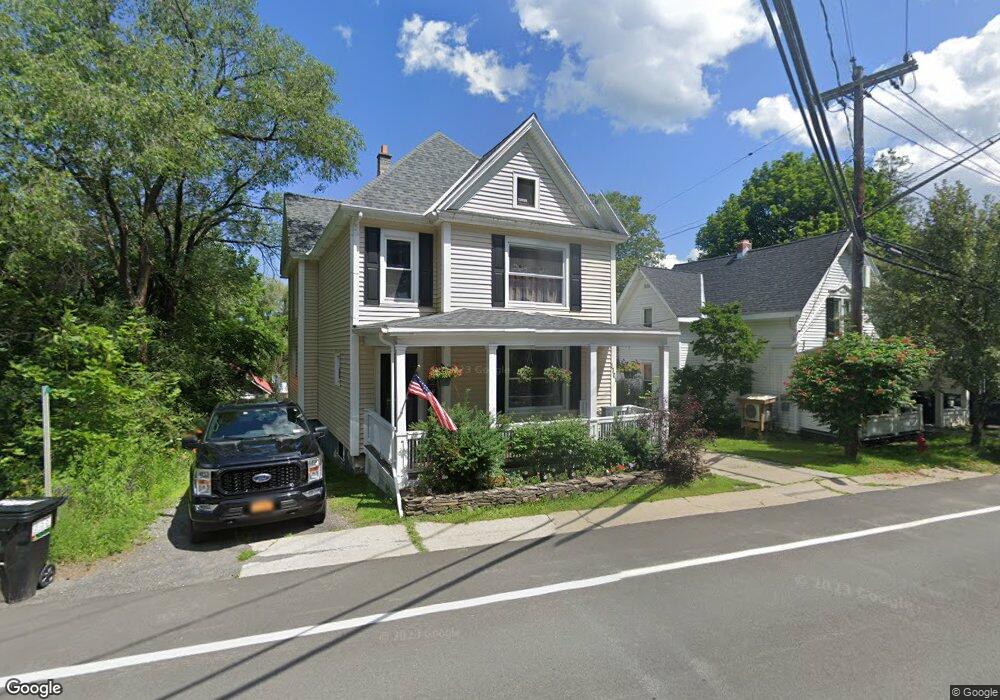
1701 Main St Delanson, NY 12053
Estimated Value: $206,238 - $327,000
3
Beds
2
Baths
2,600
Sq Ft
$96/Sq Ft
Est. Value
About This Home
This home is located at 1701 Main St, Delanson, NY 12053 and is currently estimated at $249,810, approximately $96 per square foot. 1701 Main St is a home located in Schenectady County with nearby schools including Duanesburg Elementary School.
Ownership History
Date
Name
Owned For
Owner Type
Purchase Details
Closed on
May 4, 2006
Sold by
Menzies Daniel J
Bought by
Oconnor Joshua D
Current Estimated Value
Home Financials for this Owner
Home Financials are based on the most recent Mortgage that was taken out on this home.
Original Mortgage
$148,824
Outstanding Balance
$86,291
Interest Rate
6.42%
Mortgage Type
FHA
Estimated Equity
$163,519
Purchase Details
Closed on
Apr 5, 2005
Sold by
Menzies Daniel
Bought by
Menzies Daniel
Purchase Details
Closed on
Apr 24, 2003
Purchase Details
Closed on
Sep 18, 1998
Purchase Details
Closed on
Oct 13, 1995
Create a Home Valuation Report for This Property
The Home Valuation Report is an in-depth analysis detailing your home's value as well as a comparison with similar homes in the area
Home Values in the Area
Average Home Value in this Area
Purchase History
| Date | Buyer | Sale Price | Title Company |
|---|---|---|---|
| Oconnor Joshua D | $150,000 | Jami Durante Rogowski | |
| Menzies Daniel | -- | -- | |
| -- | -- | -- | |
| -- | $100 | -- | |
| Menzies Daniel | $55,000 | -- | |
| -- | $10,000 | -- | |
| -- | -- | -- |
Source: Public Records
Mortgage History
| Date | Status | Borrower | Loan Amount |
|---|---|---|---|
| Open | Oconnor Joshua D | $148,824 |
Source: Public Records
Tax History Compared to Growth
Tax History
| Year | Tax Paid | Tax Assessment Tax Assessment Total Assessment is a certain percentage of the fair market value that is determined by local assessors to be the total taxable value of land and additions on the property. | Land | Improvement |
|---|---|---|---|---|
| 2024 | $3,466 | $31,100 | $2,000 | $29,100 |
| 2023 | $3,466 | $31,100 | $2,000 | $29,100 |
| 2022 | $3,373 | $31,100 | $2,000 | $29,100 |
| 2021 | $3,269 | $31,100 | $2,000 | $29,100 |
| 2020 | $3,195 | $31,100 | $2,000 | $29,100 |
| 2019 | $1,485 | $31,100 | $2,000 | $29,100 |
| 2018 | $3,761 | $31,100 | $2,000 | $29,100 |
| 2017 | $3,793 | $31,100 | $2,000 | $29,100 |
| 2016 | $3,219 | $31,100 | $2,000 | $29,100 |
| 2015 | -- | $31,100 | $2,000 | $29,100 |
| 2014 | -- | $31,100 | $2,000 | $29,100 |
Source: Public Records
Map
Nearby Homes
- 111 Rose St
- 1942 Main St
- 147 E Shore Rd
- 146 Michael Dr
- 168 Michael Dr
- 204 Michael Dr
- 6189 Schoharie Turnpike
- 159 Maple Ave
- 1427 Turnbull Rd
- 233 Maple Ave
- 574 Cole Rd
- 0 Mcmillan Rd Unit 202524925
- 7593 Western Turnpike
- 219 Mudge Rd
- 387 Mudge Rd
- 2008 Thousand Acres Rd
- 581 Salsburg Rd
- 415 Gage Rd
- 12098 Duanesburg Rd
- 1070 Gallupville Gallupville Rd