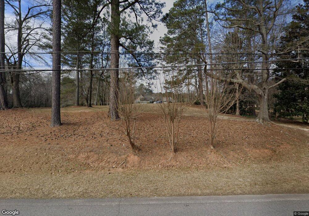
1701 Maple Dr Griffin, GA 30224
Spalding County NeighborhoodEstimated Value: $714,000 - $1,142,000
--
Bed
3
Baths
4,252
Sq Ft
$231/Sq Ft
Est. Value
About This Home
This home is located at 1701 Maple Dr, Griffin, GA 30224 and is currently estimated at $982,534, approximately $231 per square foot. 1701 Maple Dr is a home located in Spalding County with nearby schools including Crescent Road Elementary School, Rehoboth Road Middle School, and Spalding High School.
Ownership History
Date
Name
Owned For
Owner Type
Purchase Details
Closed on
Oct 24, 2016
Sold by
Edwards J William
Bought by
Turner William F and Turner Ann G
Current Estimated Value
Home Financials for this Owner
Home Financials are based on the most recent Mortgage that was taken out on this home.
Original Mortgage
$510,000
Outstanding Balance
$371,621
Interest Rate
3.13%
Mortgage Type
New Conventional
Estimated Equity
$610,913
Purchase Details
Closed on
Dec 20, 1999
Sold by
Scarbrough Brent
Bought by
Edwards J William
Purchase Details
Closed on
Aug 25, 1989
Sold by
Barlwo James C and Barlwo Catherine M
Bought by
Carlisle John R
Purchase Details
Closed on
Jun 19, 1987
Sold by
Kendrick Constance A
Bought by
Barlow James C and Barlow Catherine M
Purchase Details
Closed on
Jun 1, 1981
Sold by
Allen Mrs Clara Allen
Bought by
Kendrick Constance A
Create a Home Valuation Report for This Property
The Home Valuation Report is an in-depth analysis detailing your home's value as well as a comparison with similar homes in the area
Home Values in the Area
Average Home Value in this Area
Purchase History
| Date | Buyer | Sale Price | Title Company |
|---|---|---|---|
| Turner William F | $585,000 | -- | |
| Edwards J William | -- | -- | |
| Carlisle John R | $15,000 | -- | |
| Barlow James C | $148,000 | -- | |
| Kendrick Constance A | -- | -- |
Source: Public Records
Mortgage History
| Date | Status | Borrower | Loan Amount |
|---|---|---|---|
| Open | Turner William F | $510,000 |
Source: Public Records
Tax History Compared to Growth
Tax History
| Year | Tax Paid | Tax Assessment Tax Assessment Total Assessment is a certain percentage of the fair market value that is determined by local assessors to be the total taxable value of land and additions on the property. | Land | Improvement |
|---|---|---|---|---|
| 2024 | $14,296 | $374,400 | $76,310 | $298,090 |
| 2023 | $14,296 | $357,144 | $76,310 | $280,834 |
| 2022 | $11,887 | $297,446 | $61,450 | $235,996 |
| 2021 | $9,387 | $234,903 | $61,450 | $173,453 |
| 2020 | $7,796 | $195,072 | $61,450 | $133,622 |
| 2019 | $7,142 | $175,506 | $61,450 | $114,056 |
| 2018 | $7,073 | $167,439 | $61,450 | $105,989 |
| 2017 | $4,800 | $116,113 | $34,776 | $81,337 |
| 2016 | $4,371 | $106,446 | $29,560 | $76,886 |
| 2015 | $4,443 | $106,446 | $29,560 | $76,886 |
| 2014 | $4,577 | $106,446 | $29,560 | $76,886 |
Source: Public Records
Map
Nearby Homes
- 3000 Ext S 6th St
- 1480 Wesley Dr
- 1491 Wesley Dr
- 133 Four Oaks Dr
- 1479 Gloria St
- 174 Grange Rd
- 0 Sweetbriar Ln Unit B 20110670
- 1473 Gloria St
- 0 Cedardale Dr Unit 10272855
- 1 Sweetbriar Ln Unit A
- 1013 Waverly Dr
- 1058 Waverly Dr
- LOT 48 Waverly Dr Unit 1
- LOT 47 Waverly Dr Unit 1
- LOT 69 Waverly Dr Unit 1
- LOT 68 Waverly Dr Unit 1
- LOT 67 Waverly Dr Unit 1
- LOT 66 Waverly Dr Unit 1
- LOT 65 Waverly Dr Unit 1
- LOT 46 Waverly Dr Unit 1
- 1406 Southworth Dr
- 1412 Southworth Dr
- 1414 Southworth Dr
- 1408 Southworth Dr
- 102 Four Oaks Dr
- 102 Maplewood Dr
- 1416 Southworth Dr
- 725 Maddox Rd
- 725 Maddox Rd Unit N\
- 1780 Maple Dr
- 721 Maddox Rd
- 1601 Maple Dr
- 1418 Southworth Dr
- 104 Four Oaks Dr
- 1401 Whatley Ct
- 0 Maple Dr Unit 8437681
- 0 Maple Dr Unit 8249488
- 0 Maple Dr Unit 7AC 7353755
- 0 Maple Dr Unit 7AC 7468854
- 0 Maple Dr
