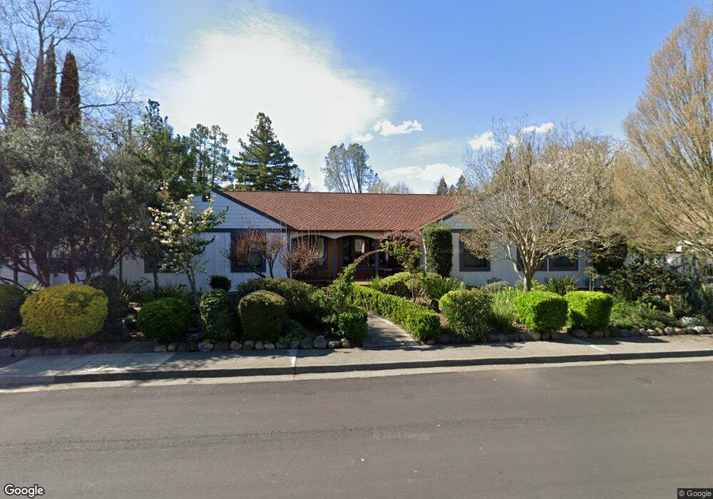
1701 Michael Way Calistoga, CA 94515
Estimated Value: $1,010,000 - $1,199,000
About This Home
This home is located at 1701 Michael Way, Calistoga, CA 94515 and is currently estimated at $1,143,079, approximately $514 per square foot. 1701 Michael Way is a home located in Napa County with nearby schools including Calistoga Elementary School and Calistoga Junior/Senior High School.
Ownership History
We collect this data history from publicly available records. To have your information removed, we recommend requesting removal directly through your county’s website.
Purchase Details
Home Financials for this Owner
Home Financials are based on the most recent Mortgage that was taken out on this home.Purchase Details
Home Financials for this Owner
Home Financials are based on the most recent Mortgage that was taken out on this home.Purchase Details
Purchase Details
Home Financials for this Owner
Home Financials are based on the most recent Mortgage that was taken out on this home.Home Values in the Area
Average Home Value in this Area
Purchase History
We collect this data history from publicly available records. To have your information removed, we recommend requesting removal directly through your county’s website.
| Date | Buyer | Sale Price | Title Company |
|---|---|---|---|
| -- | Accommodation | ||
| -- | Lsi Title Company | ||
| -- | First Amer Title Co Of Napa | ||
| -- | First Amer Title Co Of Napa | ||
| -- | -- | ||
| -- | -- | ||
| $315,000 | Napa Land Title Company |
Mortgage History
We collect this data history from publicly available records. To have your information removed, we recommend requesting removal directly through your county’s website.
| Date | Status | Borrower | Loan Amount |
|---|---|---|---|
| Open | $277,000 | ||
| Closed | $305,000 | ||
| Closed | $252,000 |
Tax History
We collect this data history from publicly available records. To have your information removed, we recommend requesting removal directly through your county’s website.
| Year | Tax Paid | Tax Assessment Tax Assessment Total Assessment is a certain percentage of the fair market value that is determined by local assessors to be the total taxable value of land and additions on the property. | Land | Improvement |
|---|---|---|---|---|
| 2025 | $6,940 | $635,164 | $162,919 | $472,245 |
| 2024 | $6,823 | $622,711 | $159,725 | $462,986 |
| 2023 | $6,823 | $610,502 | $156,594 | $453,908 |
| 2022 | $6,398 | $598,532 | $153,524 | $445,008 |
| 2021 | $6,201 | $586,797 | $150,514 | $436,283 |
| 2020 | $5,828 | $551,681 | $148,971 | $402,710 |
| 2019 | $5,053 | $474,296 | $146,050 | $328,246 |
| 2018 | $4,914 | $464,997 | $143,187 | $321,810 |
| 2017 | $4,813 | $455,880 | $140,380 | $315,500 |
| 2016 | $4,687 | $446,942 | $137,628 | $309,314 |
| 2015 | $4,632 | $440,229 | $135,561 | $304,668 |
| 2014 | $4,553 | $431,606 | $132,906 | $298,700 |
Map
- 1704 Emerald Dr
- 1701 N Oak St
- 1706 Emerald Dr
- 1929 Mora Ave
- 3004 Money Ln
- 1422 N Oak St
- 1705 Fair Way
- 34 View Rd
- 1431 4th St
- 1411 4th St
- 4025 Lake County Hwy
- 1438 Grant St
- 1231 Stevenson St
- 1316 S Oak St
- 1551 Silverado Terrace Loop
- 1557 Silverado Terrace Loop Unit 37
- 1553 Silverado Terrace Loop Unit 35
- 1559 Silverado Terrace Loop Unit 38
- 1413 Washington St
- 33 Brannan St
- 2046 Grant St
- 1703 Michael Way
- 2032 Grant St
- 2054 Grant St
- 2028 Grant St
- 2058 Grant St
- 1707 Michael Way
- 1706 Michael Way
- 2016 Grant St
- 1700 Maggie Ave
- 1702 Maggie Ave
- 1708 Michael Way
- 2008 Grant St
- 1711 Emerald Dr
- 1704 Maggie Ave
- 2006 Grant St
- 1706 Maggie Ave
- 1711 Michael Way
- 1709 N Oak St
- 1713 N Oak St
Ask me questions while you tour the home.