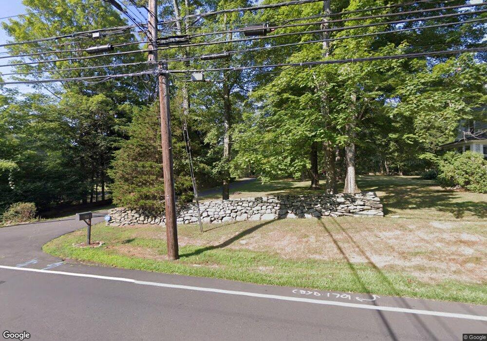
1701 Redding Rd Fairfield, CT 06824
Greenfield Hill NeighborhoodEstimated Value: $1,067,000 - $1,580,000
5
Beds
4
Baths
3,093
Sq Ft
$433/Sq Ft
Est. Value
About This Home
This home is located at 1701 Redding Rd, Fairfield, CT 06824 and is currently estimated at $1,339,132, approximately $432 per square foot. 1701 Redding Rd is a home located in Fairfield County with nearby schools including Dwight Elementary School, Roger Ludlowe Middle School, and Fairfield Ludlowe High School.
Ownership History
Date
Name
Owned For
Owner Type
Purchase Details
Closed on
Jul 9, 1993
Sold by
Selmon Maynard A
Bought by
Braus Jessica L
Current Estimated Value
Create a Home Valuation Report for This Property
The Home Valuation Report is an in-depth analysis detailing your home's value as well as a comparison with similar homes in the area
Home Values in the Area
Average Home Value in this Area
Purchase History
| Date | Buyer | Sale Price | Title Company |
|---|---|---|---|
| Braus Jessica L | $330,000 | -- | |
| Braus Jessica L | $330,000 | -- |
Source: Public Records
Mortgage History
| Date | Status | Borrower | Loan Amount |
|---|---|---|---|
| Open | Braus Jessica L | $250,000 | |
| Closed | Braus Jessica L | $175,000 |
Source: Public Records
Tax History
| Year | Tax Paid | Tax Assessment Tax Assessment Total Assessment is a certain percentage of the fair market value that is determined by local assessors to be the total taxable value of land and additions on the property. | Land | Improvement |
|---|---|---|---|---|
| 2025 | $13,355 | $470,400 | $264,670 | $205,730 |
| 2024 | $13,124 | $470,400 | $264,670 | $205,730 |
| 2023 | $12,941 | $470,400 | $264,670 | $205,730 |
| 2022 | $11,731 | $430,640 | $264,670 | $165,970 |
| 2021 | $11,619 | $430,640 | $264,670 | $165,970 |
| 2020 | $11,593 | $432,740 | $298,690 | $134,050 |
| 2019 | $11,593 | $432,740 | $298,690 | $134,050 |
| 2018 | $11,407 | $432,740 | $298,690 | $134,050 |
| 2017 | $11,173 | $432,740 | $298,690 | $134,050 |
| 2016 | $11,013 | $432,740 | $298,690 | $134,050 |
| 2015 | $11,732 | $473,270 | $367,710 | $105,560 |
| 2014 | $11,548 | $473,270 | $367,710 | $105,560 |
Source: Public Records
Map
Nearby Homes
- 1380 Old Academy Rd
- 3674 Congress St
- 88 Merry Meet Cir
- 2177 Cross Hwy
- 212 Fence Row Dr
- 158 Coventry Ln
- 22 Brett Rd
- 110 Queens Grant Dr
- 4800 Congress St
- 2683 Bronson Rd
- 180 Catamount Rd
- 200 Long Meadow Rd
- 6 Nutcracker Ln
- 281 Wood House Rd
- 688 Hulls Farm Rd
- 312 Towne House Rd
- 9 Greenbrier Rd
- 21 Sturges Commons
- 1375 Westport Turnpike
- 10 Charcoal Hill Rd
- 1697 Redding Rd
- 1691 Redding Rd
- 1685 Redding Rd
- 1597 Redding Rd
- 1567 Redding Rd
- 1818 Redding Rd
- 1547 Redding Rd
- 1580 Redding Rd
- 218 Riders Ln
- 1537 Redding Rd
- 225 Riders Ln
- 280 Riders Ln
- 1870 Redding Rd
- 326 Riders Ln
- 1280 Cross Hwy
- 1260 Merwins Ln
- 1546 Redding Rd
- 135 Riders Ln
- 333 Riders Ln
- 1500 Redding Rd
Your Personal Tour Guide
Ask me questions while you tour the home.