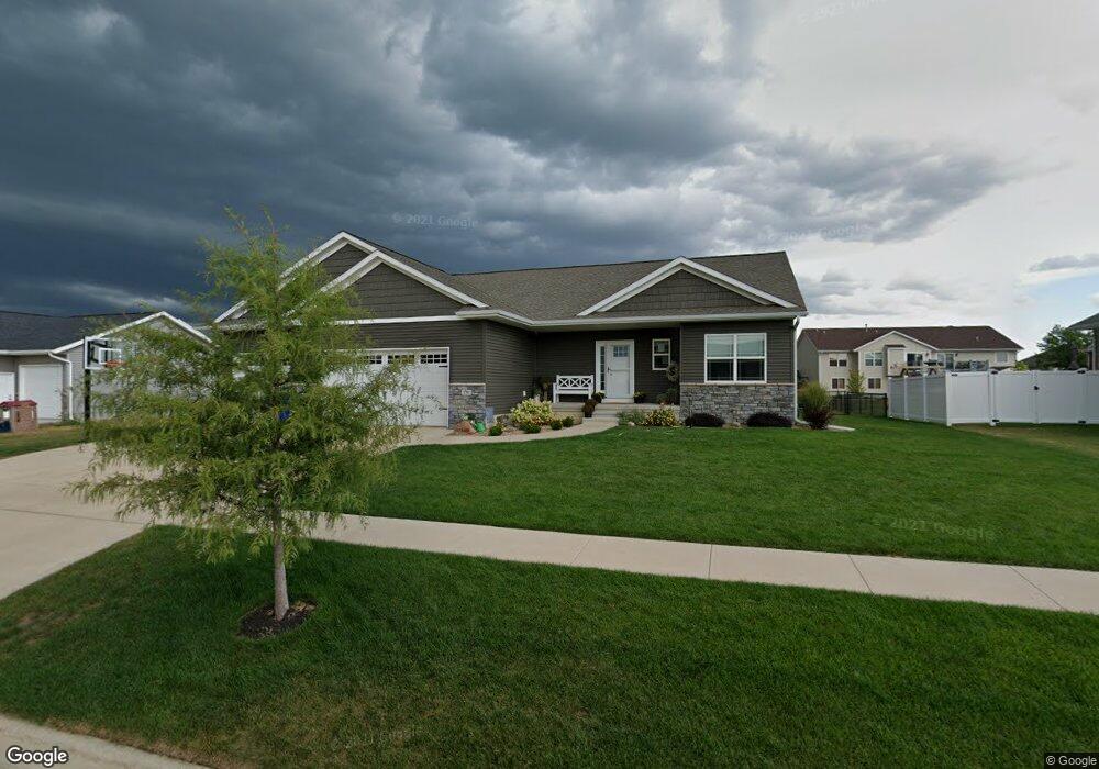
1701 Taft Dr SW Cedar Rapids, IA 52404
Estimated Value: $400,912 - $412,000
4
Beds
4
Baths
1,550
Sq Ft
$263/Sq Ft
Est. Value
About This Home
This home is located at 1701 Taft Dr SW, Cedar Rapids, IA 52404 and is currently estimated at $407,228, approximately $262 per square foot. 1701 Taft Dr SW is a home with nearby schools including Prairie Heights Elementary School, Prairie View Elementary School, and Prairie Crest Elementary School.
Ownership History
Date
Name
Owned For
Owner Type
Purchase Details
Closed on
Aug 29, 2014
Sold by
Sevig Development Lc
Bought by
Osterkamp Andrew L and Osterkamp Amber M
Current Estimated Value
Home Financials for this Owner
Home Financials are based on the most recent Mortgage that was taken out on this home.
Original Mortgage
$242,610
Interest Rate
4.1%
Mortgage Type
Construction
Create a Home Valuation Report for This Property
The Home Valuation Report is an in-depth analysis detailing your home's value as well as a comparison with similar homes in the area
Purchase History
| Date | Buyer | Sale Price | Title Company |
|---|---|---|---|
| Osterkamp Andrew L | $45,000 | None Available |
Source: Public Records
Mortgage History
| Date | Status | Borrower | Loan Amount |
|---|---|---|---|
| Closed | Osterkamp Andrew L | $242,610 |
Source: Public Records
Tax History
| Year | Tax Paid | Tax Assessment Tax Assessment Total Assessment is a certain percentage of the fair market value that is determined by local assessors to be the total taxable value of land and additions on the property. | Land | Improvement |
|---|---|---|---|---|
| 2025 | $6,898 | $380,500 | $81,700 | $298,800 |
| 2024 | $6,656 | $374,500 | $81,700 | $292,800 |
| 2023 | $6,656 | $374,500 | $81,700 | $292,800 |
| 2022 | $5,728 | $309,300 | $74,300 | $235,000 |
| 2021 | $5,890 | $272,500 | $66,800 | $205,700 |
| 2020 | $5,890 | $267,300 | $61,900 | $205,400 |
| 2019 | $5,478 | $252,800 | $54,500 | $198,300 |
Source: Public Records
Map
Nearby Homes
- 6308 Prairie Rose Cir SW
- 1730 Scarlet Sage Dr SW
- 6315 Prairie Rose Cir SW
- 6426 Prairie Rose Cir SW
- 1721 Cloverleaf Ct SW
- 7027 Harlan Eddy Dr SW
- 7023 Harlan Eddy Dr SW
- 7025 Harlan Eddy Dr SW
- 7021 Harlan Eddy Dr SW
- 7007 Colpepper Dr SW
- 7013 Colpepper Dr SW
- 6812 Artesa Bell Dr SW
- 2641 Union Dr SW
- 2755 Union Dr SW
- 0 Scenic View Ct SW Unit 6
- 0 Scenic View Ct SW Unit 2
- 4821 Hay Field Ct SW
- 2425 Kenway Blvd SW
- 6835 Preston Terrace Ct SW Unit 2
- TBD Sunshine St SW
- 1705 Taft Dr SW
- 1625 Taft Dr SW
- 6518 Harrison Rd SW
- 6512 Harrison Rd SW
- 1626 Taft Dr SW
- 6604 Harrison Rd SW
- 1700 Taft Dr SW
- 1617 Taft Dr SW
- 1719 Taft Dr SW
- 1620 Taft Dr SW
- 1706 Taft Dr SW
- 6504 Harrison Rd SW
- 6610 Harrison Rd SW
- 1614 Taft Dr SW
- 1611 Taft Dr SW
- 1712 Taft Dr SW
- 6515 Harrison Rd SW
- 6406 Harrison Rd SW
- 6601 Harrison Rd SW
- 6702 Harrison Rd SW
Your Personal Tour Guide
Ask me questions while you tour the home.