1701 Thatch Cir Castle Rock, CO 80109
Red Hawk NeighborhoodEstimated Value: $879,000 - $911,061
About This Home
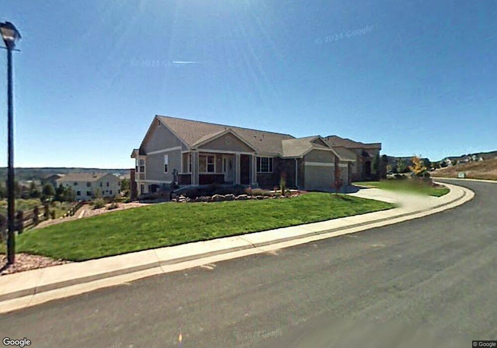
This home is located at 1701 Thatch Cir, Castle Rock, CO 80109 and is currently estimated at $895,265, approximately $169 per square foot. 1701 Thatch Cir is a home located in Douglas County with nearby schools including Clear Sky Elementary School, Castle Rock Middle School, and Castle View High School.
Ownership History
We collect this data history from publicly available records. To have your information removed, we recommend requesting removal directly through your county’s website.
Purchase Details
Home Financials for this Owner
Home Financials are based on the most recent Mortgage that was taken out on this home.Purchase Details
Home Financials for this Owner
Home Financials are based on the most recent Mortgage that was taken out on this home.Purchase Details
Home Financials for this Owner
Home Financials are based on the most recent Mortgage that was taken out on this home.Purchase Details
Home Values in the Area
Average Home Value in this Area
Purchase History
We collect this data history from publicly available records. To have your information removed, we recommend requesting removal directly through your county’s website.
| Date | Buyer | Sale Price | Title Company |
|---|---|---|---|
| $435,000 | First American | ||
| $395,500 | Fahtco | ||
| $365,000 | North American Title | ||
| $260,000 | -- |
Mortgage History
We collect this data history from publicly available records. To have your information removed, we recommend requesting removal directly through your county’s website.
| Date | Status | Borrower | Loan Amount |
|---|---|---|---|
| Open | $348,000 | ||
| Previous Owner | $105,000 | ||
| Previous Owner | $125,000 |
Tax History
We collect this data history from publicly available records. To have your information removed, we recommend requesting removal directly through your county’s website.
| Year | Tax Paid | Tax Assessment Tax Assessment Total Assessment is a certain percentage of the fair market value that is determined by local assessors to be the total taxable value of land and additions on the property. | Land | Improvement |
|---|---|---|---|---|
| 2025 | $4,129 | $63,600 | $13,780 | $49,820 |
| 2024 | $4,129 | $63,290 | $11,420 | $51,870 |
| 2023 | $4,187 | $63,290 | $11,420 | $51,870 |
| 2022 | $2,520 | $37,820 | $8,060 | $29,760 |
| 2021 | $2,630 | $37,820 | $8,060 | $29,760 |
| 2020 | $2,451 | $35,990 | $6,570 | $29,420 |
| 2019 | $2,464 | $35,990 | $6,570 | $29,420 |
| 2018 | $2,472 | $35,210 | $5,260 | $29,950 |
| 2017 | $2,263 | $35,210 | $5,260 | $29,950 |
| 2016 | $2,184 | $33,090 | $4,750 | $28,340 |
| 2015 | $2,246 | $33,090 | $4,750 | $28,340 |
| 2014 | $2,199 | $29,720 | $3,980 | $25,740 |
Map
- 1720 Wild Rye Ct
- 1585 Bent Grass Cir
- 1663 Rose Petal Ln
- 1684 Marsh Hawk Cir
- 1680 Marsh Hawk Cir
- 1556 Rosemary Ct
- 1587 Rosemary Ct
- 1308 Rosemary Dr
- 1490 Thunder Butte Rd
- 1509 Gold Hill St
- 1026 Switch Grass Dr
- 1459 Thunder Butte Rd
- 1475 Bergen Rock St
- 1498 Red Cliff Way
- 1676 Bent Wedge Point
- 1538 Bennet Mountain Rd
- 1482 Nemrick Place
- 1471 Nemrick Place
- 2021 Grayside Cir
- 2011 Grayside Cir
- 1693 Thatch Cir
- 1757 Wild Rye Ct
- 1675 Thatch Cir
- 1761 Wild Rye Ct
- 1671 Thatch Cir
- 1657 Bent Grass Cir
- 1834 Fringe Ct
- 1641 Bent Grass Cir
- 1725 Wild Rye Ct
- 1639 Bent Grass Cir
- 1669 Thatch Cir
- 1630 Bent Grass Cir
- 1750 Wild Rye Ct
- 1621 Bent Grass Cir
- 1711 Wild Rye Ct
- 1837 Fringe Ct
- 1665 Thatch Cir
- 1676 Tiff Grass Ct
- 1594 Bent Grass Cir
- 1603 Bent Grass Cir
Ask me questions while you tour the home.